Free UK postage
Faujas St.-Fond, B. (1907). A Journey through England and Scotland to the Hebrides in 1794, 1907. Hugh Hopkins.
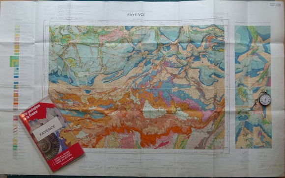
Fayence, sheet 998, Carte Geologique Detaill é de la France, 1966. Bureau de Researches Geologiques et Minieres.
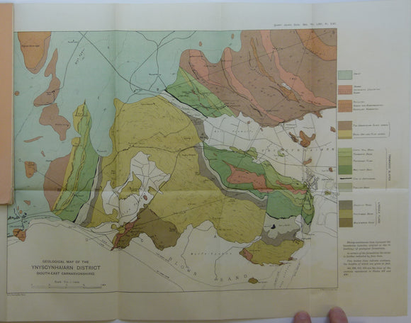
Fearnsides, W.G. (1910). Geological Map of the Ynyscyhaiarn District, South-East Carnarvonshire’, fold out colour printed map. Geological Society of London.
Fearnsides, WG, Elles, Gertrude L, Smith, Bernard Smith. (1907). ‘The Lower Palaeozoic Rocks of Pomeroy’. Dublin: Royal Irish Academy. Royal Irish Academy.
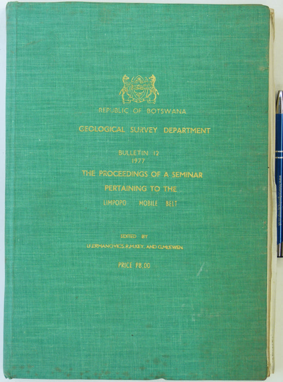
Fermanovics, IF, Key, RM, and McEwen, G (eds). 1977. The Limpopo Mobile Belt, Proceedings of a Seminar Pertaining to. Bull. 12, Geological Survey Dept, Republic of Botswana. 1st edn. Geological Survey of Botswana.
Fife and Kinross, 24 (1863)1:10,560 scale OS basemap 1856. Covers Kennoway on east edge and Markinch in centre. Colour washed engraving,. British Geological Survey.
Fife and Kinross, 25 (1865)1:10,560 scale OS basemap 1855. Covers Leven on coast. Colour washed engraving,. British Geological Survey.
Fife and Kinross, 30 (1865)1:10,560 scale OS basemap 1856. Covers Cleish in northwest. Colour washed engraving, (. British Geological Survey.
Fife and Kinross, 31 (1868)1:10,560 scale OS basemap 1856. Covers Lochgelly in southwest. Colour washed engraving, (68 x 101.5 cm). Flat, pencilled library notation in bottom right corner, otherwise clean and bright. In very good condition. British Geological Survey.
Fife and Kinross, 32 and 33 (1862)1:10,560 scale OS basemap 1856. Cover Dysart and Buckhaven. Colour washed engraving,. British Geological Survey.
Fife and Kinross, 35 (1863)1:10,560 scale OS basemap 1855. Covers Dunfermline in southwest corner. Colour washed engraving,. British Geological Survey.
Fife and Kinross, 36 and 37(1868)1:10,560 scale OS basemap 1856. Cover Burntisland, Auchtertool, Kirkcaldy and Kinghorn . Colour washed engravings. British Geological Survey.
Figueiroa, Silvia FM, and Lopes, M. Margaret (1994). Geological Sciences in Latin America; Scientific Relations and Exchanges;. Universidad de Campinas.
Flett, John (1937). The First Hundred Years of the Geological Survey of Great Britain. London: HMSO. 1st edition. HMSO.
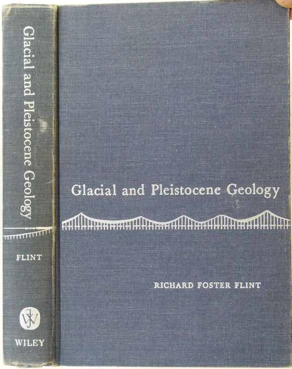
Flint, Richard F. (1967). Glacial and Pleistocene Geology. New York: John Wiley & Sons, 6th printing of 1st edition of 1957. John Wiley.
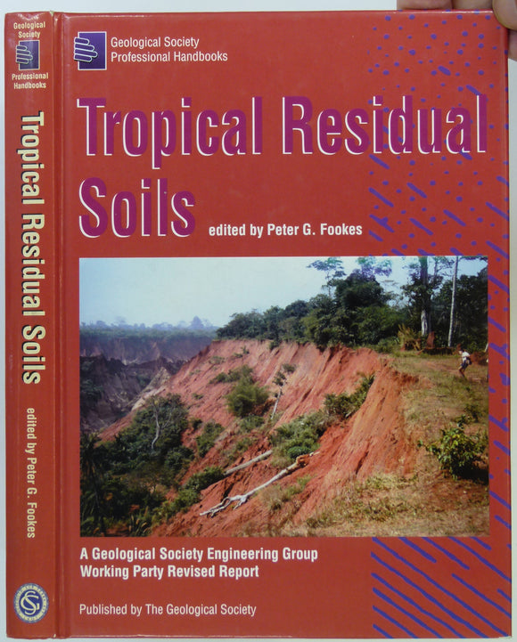
Fookes, Peter G. (ed) (1997). Tropical Residual Soils. London: Geological Society Engineering Group Working Party Revised Report, 1st ed. Geological Society of London.
Fookes, PG et al (2005). Geomorphology for Engineers. Caithness: Whittles, 1st edition, 851pp. Hardback,. Whittles.
Ford, Trevor and Rieuwerts, JH (eds), 1970. Lead Mining in the Peak District. Bakewell: Peak Planning Board. Peak Planning Board.
Ford, Trevor D. (2002). Rocks and Scenery of the Peak District. Ashbourne: Landmark Publishing. 96pp. First edition. Landmark Publishing.
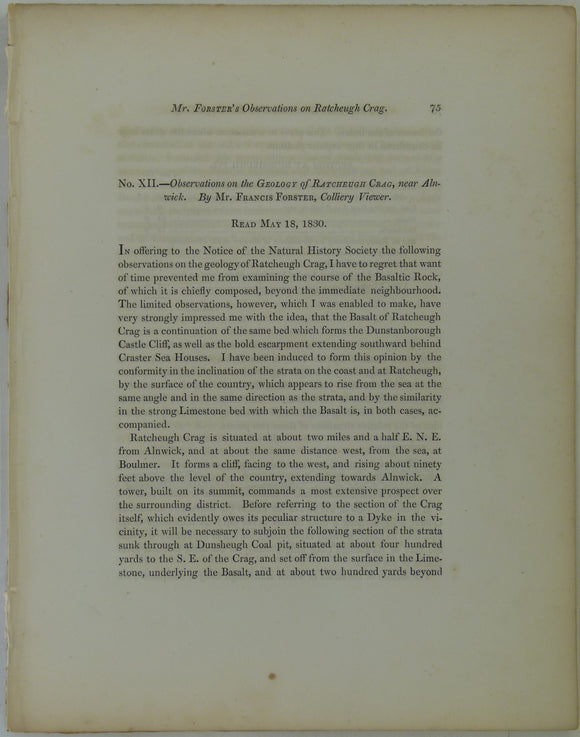
Forster, Francis, (1831). ‘Geology of Ratcheugh Crag, near Alnwick ’, extract from Trans. Nat. Hist. Soc. Northumberland, Durham & Newcastle 1831. v1,. Trans Northum, Durham, Newcastle.
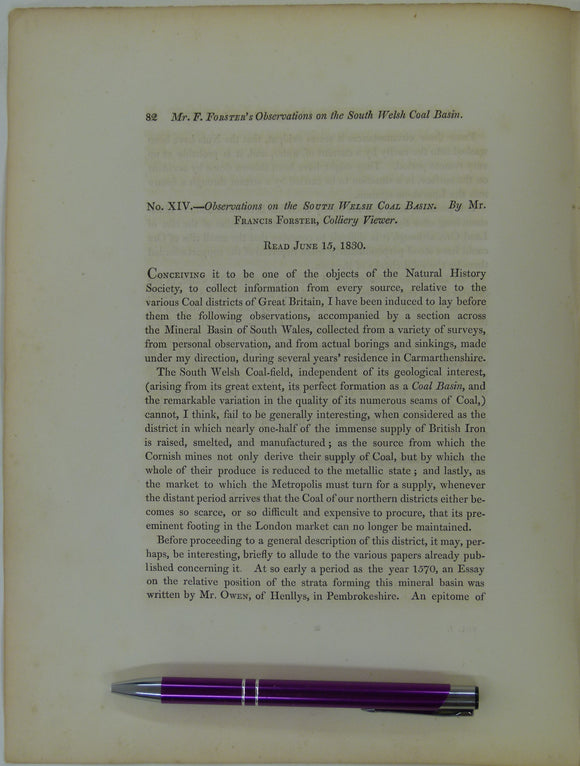
Forster, Francis, (1831). ‘Observations on the South Welsh Coal Basin’, extract from Transactions of the Natural History Society of Northumberland, Durham and Newcastle. v1,. Trans Northum, Durham, Newcastle.
Forster, Michael, (1831). ‘the Effects of a Basaltic Dyke of Butterknowle Colliery, two Miles NW of Cockfield [Northumberland]’, extract from Trans Nat Hist Soc of Northumberland, Durham and Newcastle. v1,. Trans Northum, Durham, Newcastle.
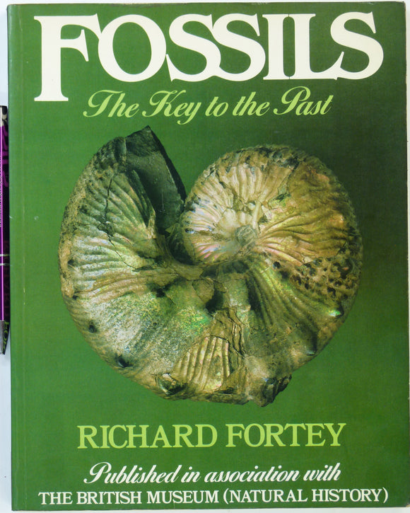
Fortey, Richard. (1982). Fossils: the Key to the Past. London: Heineman, 1st edn. 172 pp. Heineman.
Fossils


![Forster, Michael, (1831). ‘the Effects of a Basaltic Dyke of Butterknowle Colliery, two Miles NW of Cockfield [Northumberland]’, extract from Trans Nat Hist Soc of Northumberland, Durham and Newcastle. v1,](http://geolmaps.com/cdn/shop/products/M_1_{width}x.jpg?v=1680600907)
![Forster, Michael, (1831). ‘the Effects of a Basaltic Dyke of Butterknowle Colliery, two Miles NW of Cockfield [Northumberland]’, extract from Trans Nat Hist Soc of Northumberland, Durham and Newcastle. v1,](http://geolmaps.com/cdn/shop/products/M_1_580x.jpg?v=1680600907)