Free UK postage
Harker, Alfred (1909). The Natural History of Igneous Rocks. London: Methuen, 1st edition. xvi + 384pp. Hardback, Rebacked,. Methuen.
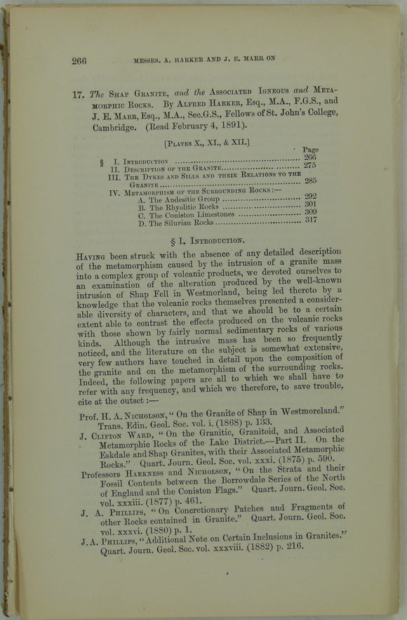
Harker, Alfred, and Marr, JE. (1891). ‘The Shap Granite, and the Associated Igneous and Metamorphic Rocks’, extract. Geological Society of London.
Harker, Alfred. (1952). Metamorphism; a Study of the Transformations of Rock-Masses. London; Methuen, 3rd edition. Methuen.
Harland, W.B. (1959). ‘The Caledonian Sequence in Ny Friesland, Spitsbergen’ reprint from the QJGS. Geological Society of London.
Harmer, F.W. (1896). ‘On the Pliocene deposits of Holland and their Relation to the English and Belgian Crags [and] . . . Pliocene Epoch in Northern Europe’ extract from the QJGS. Geological Society of London.
Harris, A.L. (ed), (1985). ‘[Map of] Caledonian Igneous Rocks of Britain and Ireland’ in The Nature and Timing of Orogenic Activity in the Caledonian Rocks of the British Isles; Memoir No. 9. Geological Society of London.
Harris, A.L. et al. (1979). The Caledonides of the British Isles – Reviewed. Edinburgh: Scottish Academic Press. Scottish Academic Press.
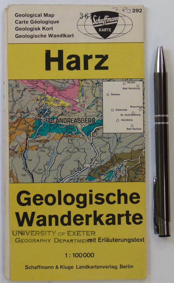
Harz Geologische Wanderkarte (n.d.). Berlin: Schaffmann und Kluge. Colour printed map and section, 59 x 49cm. Schaffman und Kluge.
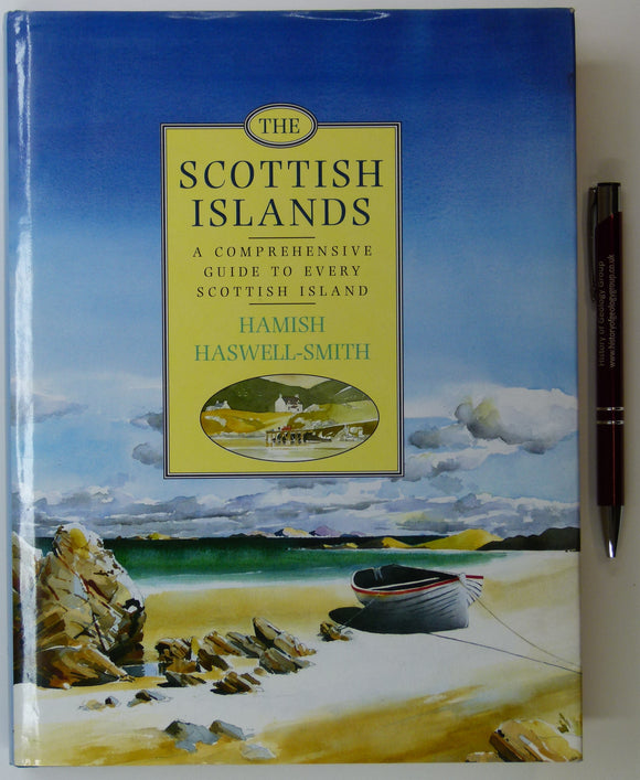
Haswell-Smith, Hamish (1996). The Scottish Islands; a Comprehnsive Guide to Every Scottish Island. Edinburgh, Canongate. 423 pp. 1st edition. Canongate.
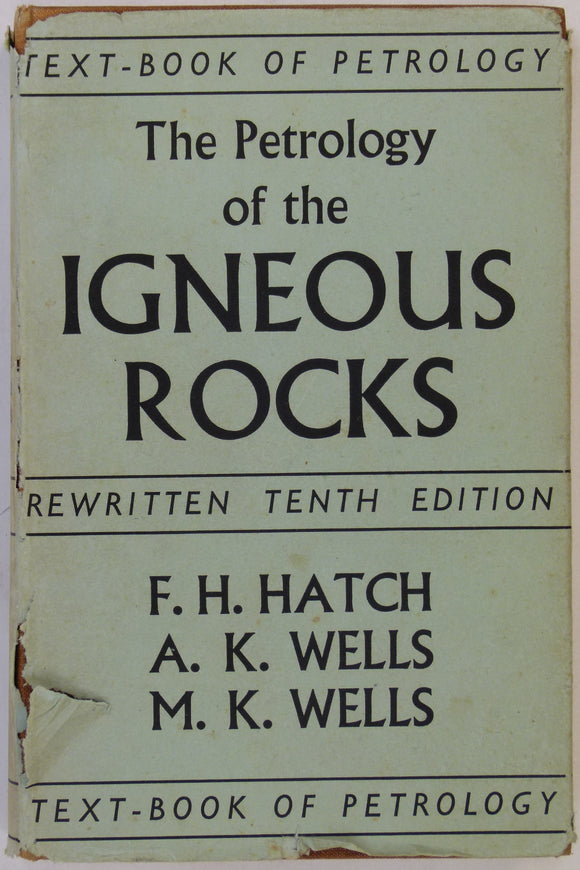
Hatch, FH, Wells AK & MK (1956). The Petrology of Igneous Rocks. London: Thomas Murby, 10th ‘rewritten’ edition. 12th impression. 469pp. HB. Thomas Murby.
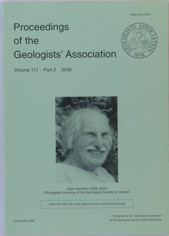
Haworth, Richard (ed).(2006). Proceedings of the Geologists’ Association, v117, pt2, pp 101-248. Memorial issue to Jake Hancock (1928-2004). Geologists' Association.
Hayes, W.H. et al, 1901. Report on a geological reconnaissance [sic] of Cuba. Publ by USGS, 123 pp. + 29 photographic plates
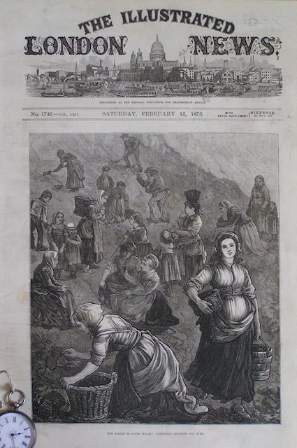
he Strike in South Wales: Gathering Shindles for Fuel
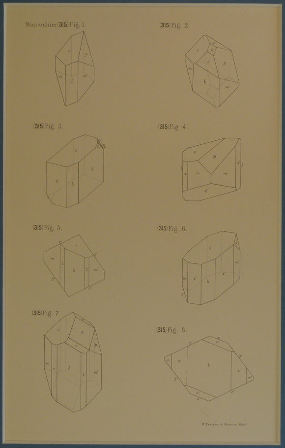
Heddle, M. Forster. 1901. Microcline crystal diagrams, plate 52 from volume 2 of The Mineralogy of Scotland.
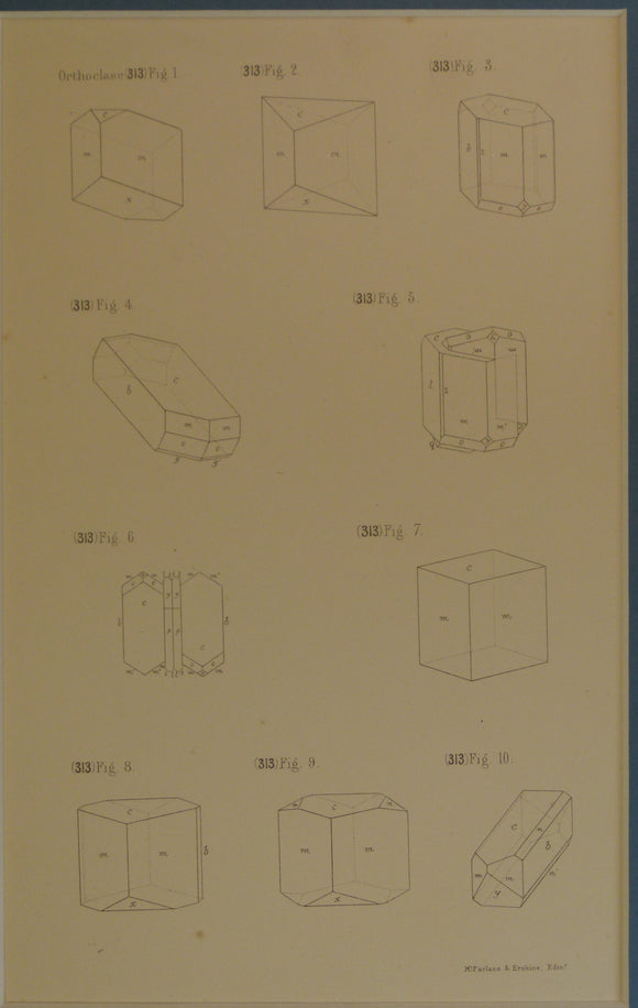
Heddle, M. Forster. 1901. Orthoclase crystal diagrams, plate 52 from volume 2 of The Mineralogy of Scotland
Hellyer, R. and Higley, C. (2006). Projections and Origins; collected writings of Brian Adams. London: Charles Close Society,. Charles Close Society.
Hellyer, Roger (1992). The ‘Ten-Mile’ maps of the Ordnance Surveys. London: Charles Close Society, 2002pp. Charles Close Society.
Henson, F.R.S. (1949) ‘A Synopsis of the Stratigraphy and Geological History of Cyprus’ extract from the QJGS. Geological Society of London.
Henson, FRS, et al (1949). [Map of] Cyprus Geology, in ‘A synopsis of the Stratigraphy and Geological History of Cyprus’. Geological Society of London.
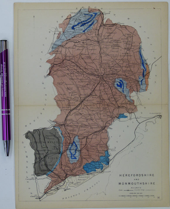
Herefordshire and Monmouthshire (now part of Wales) (1864) counties geological map from Reynolds’s Geological Atlas of Great Britain, 1st. Reynolds.
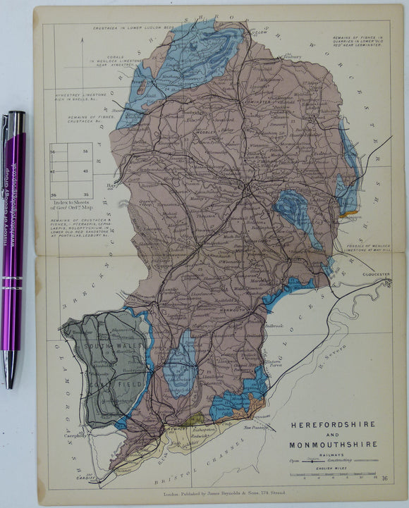
Herefordshire and Monmouthshire (now part of Wales) (1889) counties geological map from Reynolds’s Geological Atlas of Great Britain, 2nd. Reynolds.
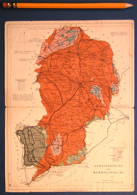
Herefordshire and Monmouthshire (now part of Wales) (1913) counties geological map from Stanford’s Geological Atlas of Great Britain and Ireland,. Stanford's and Reynolds' Atlases.
Herefordshire, Wells and Springs of. Whitaker, B.A. and Edwards, W. 1926, 1st edition. 129 + xi pp. British Geological Survey.
Heritsch, Franz (1929). The Nappe Theory in the Alps (Alpine Tectonics, 1905-1928). Translated by PGH Boswell. London: Methuen, 228pp. Methuen.


![Harmer, F.W. (1896). ‘On the Pliocene deposits of Holland and their Relation to the English and Belgian Crags [and] . . . Pliocene Epoch in Northern Europe’ extract from the QJGS](http://geolmaps.com/cdn/shop/files/NLandEAnglia_1_{width}x.jpg?v=1754602337)
![Harmer, F.W. (1896). ‘On the Pliocene deposits of Holland and their Relation to the English and Belgian Crags [and] . . . Pliocene Epoch in Northern Europe’ extract from the QJGS](http://geolmaps.com/cdn/shop/files/NLandEAnglia_1_580x.jpg?v=1754602337)
![Harris, A.L. (ed), (1985). ‘[Map of] Caledonian Igneous Rocks of Britain and Ireland’ in The Nature and Timing of Orogenic Activity in the Caledonian Rocks of the British Isles; Memoir No. 9.](http://geolmaps.com/cdn/shop/files/Harris_1_{width}x.jpg?v=1705424303)
![Harris, A.L. (ed), (1985). ‘[Map of] Caledonian Igneous Rocks of Britain and Ireland’ in The Nature and Timing of Orogenic Activity in the Caledonian Rocks of the British Isles; Memoir No. 9.](http://geolmaps.com/cdn/shop/files/Harris_1_580x.jpg?v=1705424303)


![Hayes, W.H. et al, 1901. Report on a geological reconnaissance [sic] of Cuba. Publ by USGS, 123 pp. + 29 photographic plates](http://geolmaps.com/cdn/shop/products/P1090447_{width}x.jpg?v=1577473138)
![Hayes, W.H. et al, 1901. Report on a geological reconnaissance [sic] of Cuba. Publ by USGS, 123 pp. + 29 photographic plates](http://geolmaps.com/cdn/shop/products/P1090447_580x.jpg?v=1577473138)


![Henson, FRS, et al (1949). [Map of] Cyprus Geology, in ‘A synopsis of the Stratigraphy and Geological History of Cyprus’](http://geolmaps.com/cdn/shop/products/Cyprus_1_{width}x.JPG?v=1547575805)
![Henson, FRS, et al (1949). [Map of] Cyprus Geology, in ‘A synopsis of the Stratigraphy and Geological History of Cyprus’](http://geolmaps.com/cdn/shop/products/Cyprus_1_580x.JPG?v=1547575805)