Free UK postage
Labrador (c1971).Geological Map of Labrador. 1:1,000,000 scale, 115 x 107cm. Colour lithograph dissected into two parts and mounted on linen
Lackschewitz, K.S. et al (1998) ‘North Atlantic Ice Sheet Fluctuations 10,000-70,000 Yr Ago as Inferred from Deposits on the Reykjanes Ridge, Southeast of Greenland’, reprint. Quaternary Research [journal].
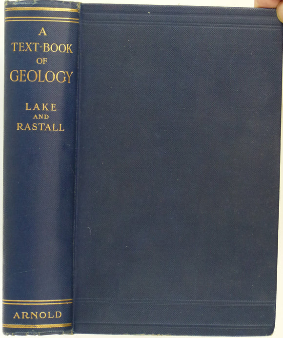
Lake, Philip, and Rastall, RH. (1931). A Text-book of Geology. London: Edward Arnold & Co. 4th edition. 520 pp + 8 pp adverts. HB. Edward Arnold.
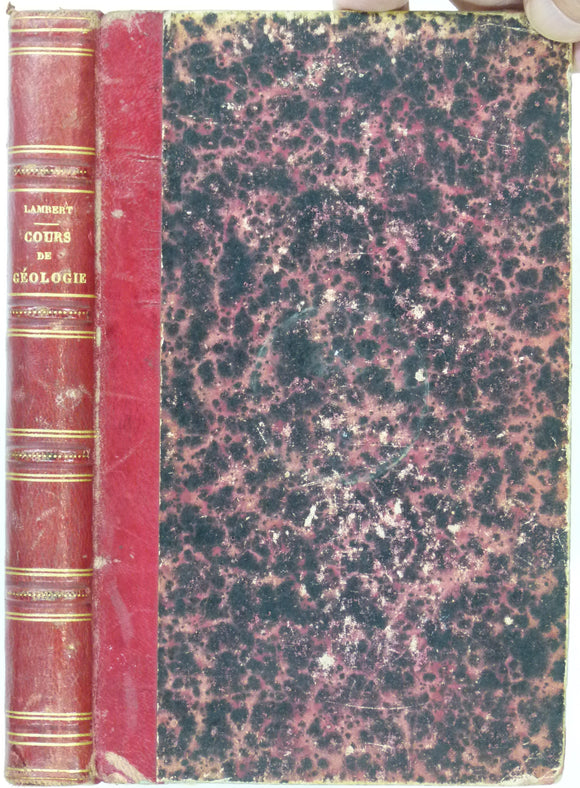
Lambert, E. (1862). Cours Élémentaire de Géologie. Paris: Librarie de la Société Géologique de France. 1st edition. Societe Geologique de France.
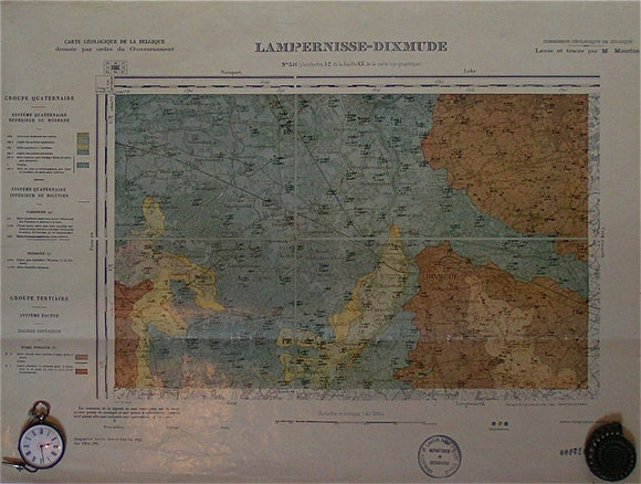
Lampernisse-Dixmude, sheet 51. War Office (UK) GSGS 4325.
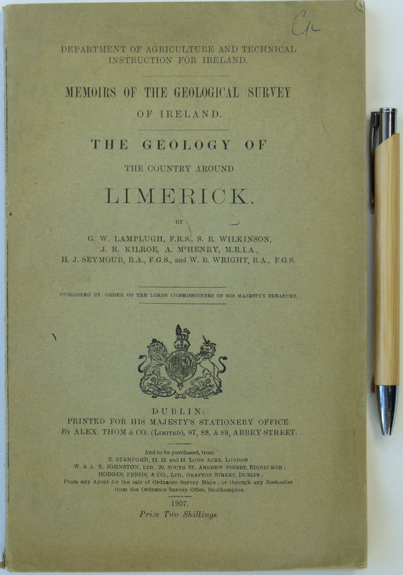
Lamplugh, G.w., et al (1907). The Geology of the Country Around Limerick. Dublin: HMSO for Dept of Agriculture and Technical Instruction for Ireland. 119pp. Dept of Agriculture, Ireland.
Lanarkshire, 31 (1870)1:10,560 scale OS basemap 1864. Covers Lesmahagow and district. Colour washed engraving,. British Geological Survey.
Lanarkshire, 37 (1871)1:10,560 scale OS basemap 1864. No place names. Colour washed engraving,. British Geological Survey.
Lancashire 100nw, 6". Simonswood, 1928/1933, black outline, blue geology, red contours. Geological Survey of England & Wales.
Lancashire 101nw, 6". Billinge, 1929/1933, black outline, blue geology, red contours. Geological Survey of England & Wales.
Lancashire 101nw, 6". Billinge, 1929/1933, grey outline, blue geology, red contours. Geological Survey of England & Wales.
Lancashire 101sw, 6". St.Helens, north, 1929/1934, black outline, blue geology, red contours. Geological Survey of England & Wales.
Lancashire 102nw, 6". Abram, 1929/1933, black outline, blue geology, red contours. Geological Survey of England & Wales.
Lancashire 102sw, 6". Golborne, 1929/1934, black outline, blue geology, red contours. Geological Survey of England & Wales.
Lancashire 104nw, 6". Salford, 1923/1929, black outline, blue geology. Geological Survey of England & Wales.
Lancashire 105ne, 6". Stalybridge, 1922/1932, black outline, blue geology, red contours. Geological Survey of England & Wales.
Lancashire 105nw, 6". Ashton u Lyne, 1922/1929, black outline, blue geology, red contours. Geological Survey of England & Wales.
Lancashire 105sw, 6". Audenshaw, 1922/1929, black outline, blue geology, red contours. Geological Survey of England & Wales.
Lancashire 107ne, 6". Prescott, 1928/1940, black outline, blue geology, red contours. Geological Survey of England & Wales.
Lancashire 107nw, 6". Huyton, north, 1951/1951, black outline, red geology. Geological Survey of England & Wales.
Lancashire 107se, 6". Rainhill, 1951/1953, black outline, red geology. Geological Survey of England & Wales.
Lancashire 107sw, 6". Huyton, south, 1946/1951, black outline, red geology. Geological Survey of England & Wales.
Lancashire 108ne, 6". Earlestown, 1951/1953, black outline, red geology. Geological Survey of England & Wales.
Lancashire 108sw, 6". Sutton Manor, 1951/1953, black outline, red geology. Geological Survey of England & Wales.