Free UK postage
Johnson, G.A.L. and Hickling, G. (eds.) (1972). ‘Geology of Durham County’, in Transactions. Natural History Society of Northumbria.
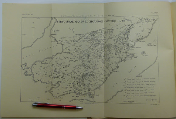
Johnson, M.R.W. (1957). ‘The Tectonic Phenomena associated with the Post-Cambrian Thrust Movements at Coulin, Wester Ross’, offprint of the QJGS. Geological Society of London.
Johnson, MRW and Stewart, FH, (eds.) (1963) The British Caledonides. Edinburgh, Oliver and Boyd. 1st edition. 280pp. Hardback,. Oliver and Boyd.
Johnson, MRW., (1960), ‘Geological Map of the Geology Lochcarron - Wester Ross’, B/w printed map, 1:31,680. Royal Society of Edinburgh.
Johnston, James FW. (1850). Geological Map of New Brunswick [Canada]. Hand coloured lithographed map,. New Brunswick.
Jones, D.K.C. (ed) (1980). The Shaping of Southern England, Inst. of British Geographers Special Publ’n, No.11. London: Academic Press, 1st. Academic Press.
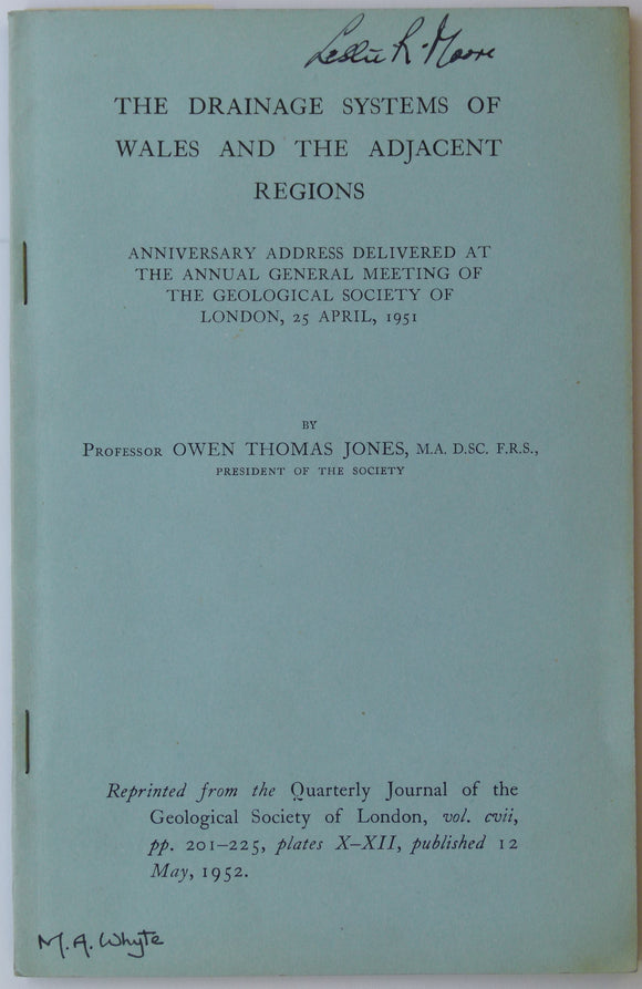
Jones, Owen Thomas (1952). ‘Map of the Drainage Systems of Wales’, fold out b/w printed map 1:633,600. Geological Society of London.
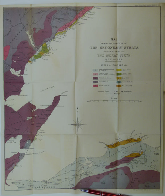
Judd, J.W. (1873). [Geological] Map Showing ... the Secondary Strata Around the Moray Firth [Scotland], fold-out colour printed map,. Geological Society of London.
Judd, J.W. (1888). Volcanoes; what they are and what they teach. London: Kegan Paul,. Kegan Paul.
Judd, John W. (ed.)(1896) . The Student’s Lyell: a Manual of Elementary Geology. London: John Murray, 635pp. Hardback,. John Murray.
Judd, John W., (1873), ‘Map Showing the Secondary Strata around the Shores of the Moray Firth. Fold-out colour printed geological map. QJGS.
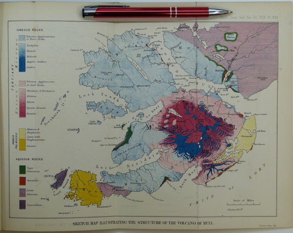
Judd, John W., (1874), ‘Sketch Map Illustrating the Structure of the Volcano of Mull. Fold-out colour printed geological map. QJGS.
Judd, JW, (1876). ‘On the Ancient Volcano of the District of Schemnitz, Hungary [now Slovakia]’, extract from the Quarterly Journal of the Geological Society, v32,. Geological Society of London.
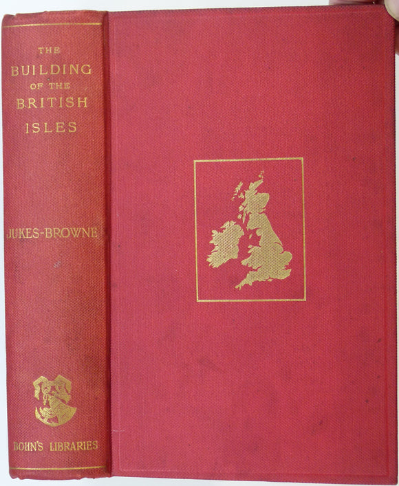
Jukes-Brown, A.J. (1892). The Building of the British Isles; a Study of Geographical Evolution. London:. George Bell and Sons.
Jukes-Brown, A.J. (1904). The Cretaceous Rocks of Britain. Memoir of the Geological Survey of the United Kingdom. London: HMSO, 326pp. + 5 plates. British Geological Survey.
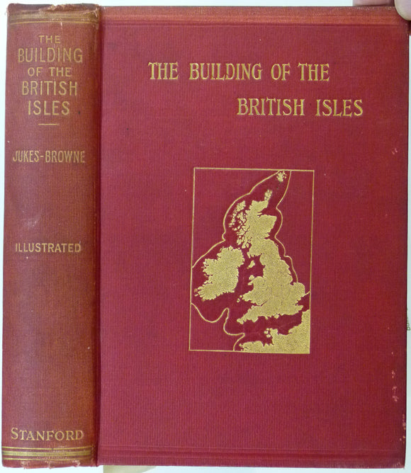
Jukes-Brown, A.J. (1911). The Building of the British Isles; Being a History of the Construction and Geographical Evolution of the British Region. London. Edward Stanford.
Jukes-browne, AJ. 1878. The Post-Tertiary Deposits of Cambridgeshire. Deighton, Bell and Co..
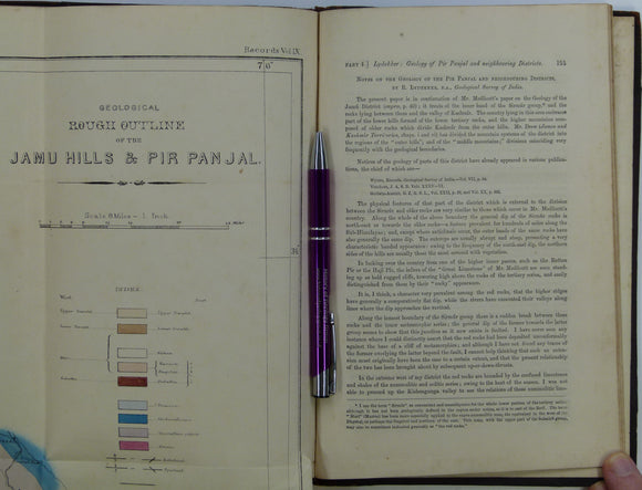
Kashmir / India. Lydekker, R. (1876). ‘Notes on the Geology of the Pir Panjal and Neighbouring Districts’, extract of The Records. Geological Survey of India.
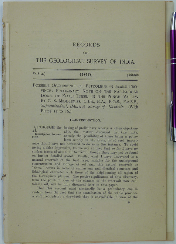
Kashmir. Middlemiss, C.S. (1919). Possible Occurrence of Petroleum in Jammu Province: Preliminary Note on the Nar-Budhan Dome of Kotli Tehsil in the Punch Valley’,. Geological Survey of India.
Kazmi, Ali H., and Rana, Riaz A. (compilers) (1982). Tectonic Map of Pakistan. Karachi: Geological Survey of Pakistan. 1st edition. Folded colour-printed map. Geological Survey of Pakistan.
Keen, D.H. (ed.) (1989). West Midlands Field Guide. Cambridge: Quaternary Research Association. 145pp. First edition. Quaternary Research Association.
Kelly, John (2009). Flood Cycle; Notes from a Changing Planet. Oxford: Signal Books. 1st ed. 120pp. Paperback in new condition. Signal.
Kemp J.F., (1959). A Handbook of Rocks, for Use Without the Petrographic Microscope. Princeton,. Van Nostrand.
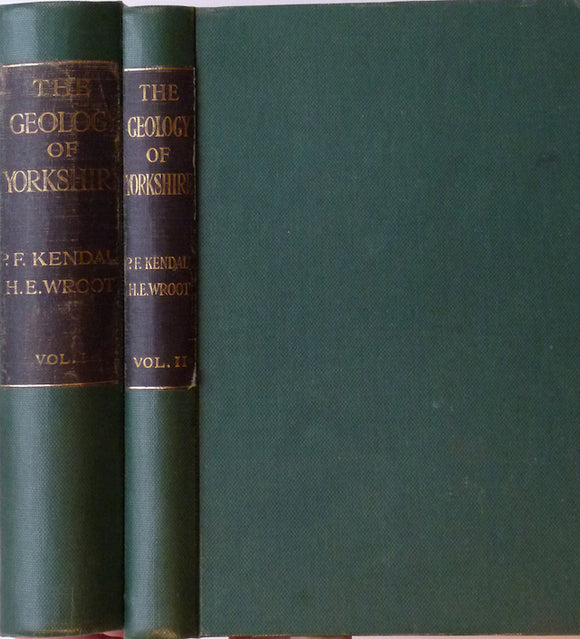
Kendal, PF, and Wroot, HE, (1924). Geology of Yorkshire. An Illustration of the Evolution of Northern England. 1924. published by author.


![Johnston, James FW. (1850). Geological Map of New Brunswick [Canada]. Hand coloured lithographed map,](http://geolmaps.com/cdn/shop/products/JohnstonsNewBrunswick1850_{width}x.jpg?v=1617639428)
![Johnston, James FW. (1850). Geological Map of New Brunswick [Canada]. Hand coloured lithographed map,](http://geolmaps.com/cdn/shop/products/JohnstonsNewBrunswick1850_580x.jpg?v=1617639428)


![Judd, J.W. (1873). [Geological] Map Showing ... the Secondary Strata Around the Moray Firth [Scotland], fold-out colour printed map,](http://geolmaps.com/cdn/shop/products/Judd2ndryScotland_1_{width}x.jpg?v=1619627314)
![Judd, J.W. (1873). [Geological] Map Showing ... the Secondary Strata Around the Moray Firth [Scotland], fold-out colour printed map,](http://geolmaps.com/cdn/shop/products/Judd2ndryScotland_1_580x.jpg?v=1619627314)


![Judd, JW, (1876). ‘On the Ancient Volcano of the District of Schemnitz, Hungary [now Slovakia]’, extract from the Quarterly Journal of the Geological Society, v32,](http://geolmaps.com/cdn/shop/products/Schemnitz_Slovakia_{width}x.JPG?v=1547576090)
![Judd, JW, (1876). ‘On the Ancient Volcano of the District of Schemnitz, Hungary [now Slovakia]’, extract from the Quarterly Journal of the Geological Society, v32,](http://geolmaps.com/cdn/shop/products/Schemnitz_Slovakia_580x.JPG?v=1547576090)