Free UK postage
Kennedy, Barbara A. (2006). Inventing the Earth: Ideas on Landscape Development Since 1740. Oxford: Blackwell, 1st edition, 160pp. PB,. Blackwell.
Kennedy, W.J. (2006). ‘John Michael (‘Jake’) Hancock (1928-2004): a personal memoir’ in Haworth, Richard (ed).(2006). PGA, v117, pt2, pp 103-122. Geologists' Association.
Kennedy, Wm. Q. (1955). ‘Geological Map of the Morar Anticline, West Inverness-shire’, fold-out b/w map with sections,. Geological Society of London.
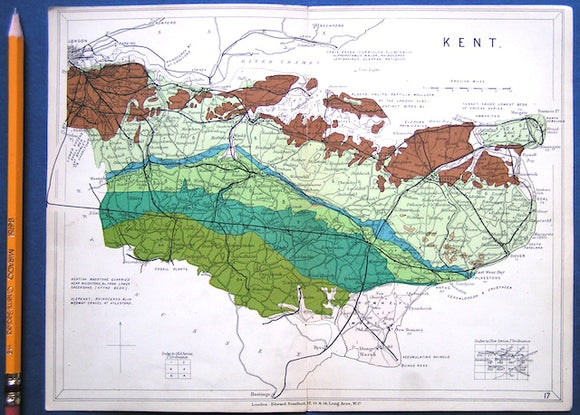
Kent (1913) county geological map from Stanford’s Geological Atlas of Great Britain and Ireland, 3rd edition. Stanford's and Reynolds' Atlases.
Kent, P.E. et al (1970). ‘Symposium: Triassic Rocks of the British Isles’ in Quarterly Journal of the Geological Society. Geological Society of London.
Kent, P.E. et al (eds) (1969). Time and Place in Orogeny: London Geological Society Special Publication no.3. London: Geological Society, 1st. Geological Society of London.
Kent, Peter et al (organisers) (1980). The Evolution of Passive Continental Margins in the Light of Recent Deep Drilling Results. London: Royal Society, 1st. Royal Society.
Kent. William Smith's Geological Map of Kent, 1819. REPRODUCTION. Smith, William.
Keynes, Randal (2001). Annie’s Box; Charles Darwin, his daughter and Human Evolution. London: Fourth Estate, 1st edition, 331pp. Fourth Estate.
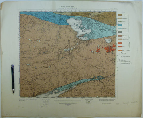
Killarney & Kenmare District, (1913). First edition. Colour print, flat, 56 x 68.5cm. Scale 1:63,360. Base map 1910. Geological Survey of Ireland.
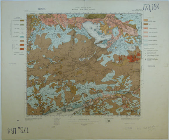
Killarney & Kenmare District, Drift, (1913). First edition. Colour print, flat, 56 x 68.5cm. Scale 1:63,360. Base map 1910. Geological Survey of Ireland.
Kinahan, George H. (1882).‘Glacial Moraines on Mount Leinster, Counties Wexford and Garlow’, extract from the Transactions of the RGSI, v.6. Royal Geological Society of Ireland.
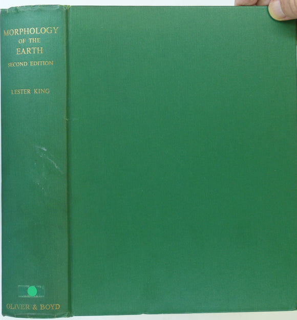
King, Lester C. (1967). The Morphology of the Earth: a Study and Synthesis of World Scenery. Edinburgh: Oliver and Boyd, 2nd revised. Oliver and Boyd.
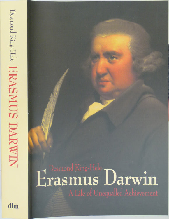
King-Hele, Desmond (2007). Erasmus Darwin; a Life of Unequalled Achievement. Giles De La Mare.
Kitaibel, Paul and Tomtsanyi, Adam (1814). 1960 Facsimile. Report on the Earthquake of Mór in the year 1810. Budapest,. Akademiai Kiado.
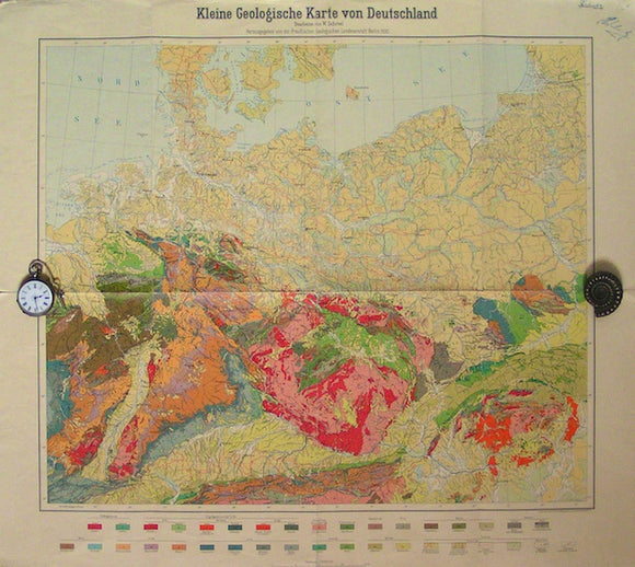
Kleine Geologische Karte von Deutschland, 1930. Geological Survey of Prussia.
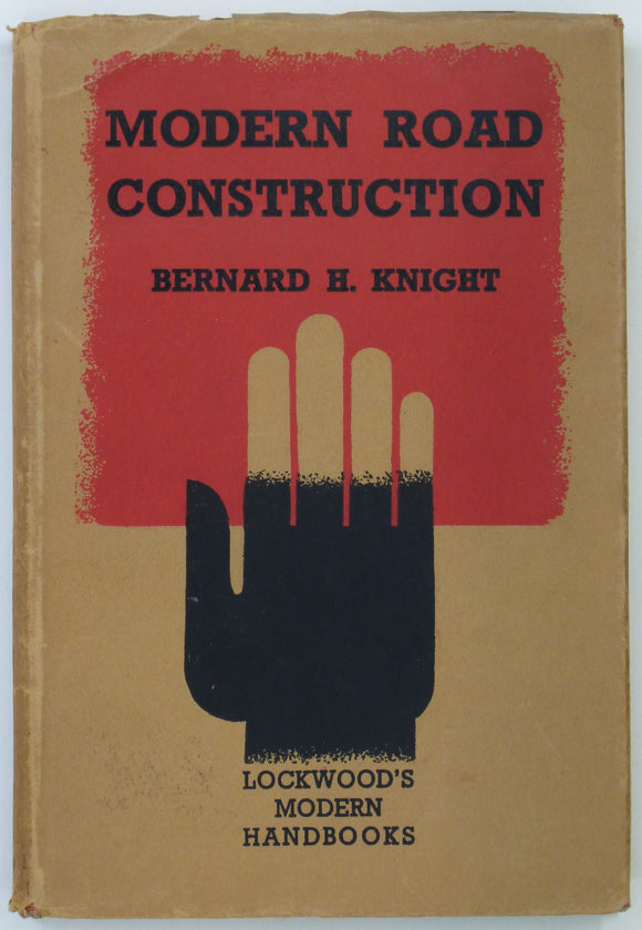
Knight, B.H., (1939). Modern Road Construction. London: Cosby Lockwood. 86pp. 1st edition. Hardback,. Lockwood.
Knill, D.C., and J.L.. (1961). ‘The Geology of the Rosguill Peninsula, Co. Donegal, Eire’, in ‘ Time Relations between Folding, Metamorphism and the Emplacement of Granite. Geological Society of London.
Knill, J.L. (ed.)(1978) Industrial Geology. Oxford University Press, 1st edition 344 + xi pp. Hardback,. Oxford University Press.
Knipe, James A. (1858). Geological Map of Scotland, Hand coloured lithograph,109 x81 cm, dissected and mounted on linen folding to 21.5 x 12cm. Knipe.
Knipe, James A. (1859). Geological Map of the British Isles and Part of France. Hand coloured lithograph in four quarters, each 80 x 69cm, dissected and mounted on linen folding to 20 x 11.5cm. Knipe.
Kozák, Jan; Čejchanová, Alena; Kukal, Zdeněk; Pošmourný, Karel (eds). (2016). Early Geological Maps of Europe; Central Europe 1750-1840. Springer. . Springer.
Kriz, Jiri. (1999). Joachim Barrande. Prague: Cesky Geologicky Ustav.12pp. PHOTOCOPY with colour portrait of JB as front cover. Offprint. Czech Geological Survey.
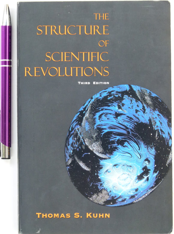
Kuhn, Thomas. (1996). The Structure of Scientific Revolutions. University of Chicago, 3rd edition. 212 + xiv pp. PB. University of Chicago.