Free UK postage
Sheet memoir 32 (1976). Geology of the Country around Barnard Castle. Arthurton, RS and Wadge, AJ. London: Institute of Geological Sciences. British Geological Survey.
Sheet memoir 32 (1976). Geology of the Country around Barnard Castle. Arthurton, RS and Wadge, AJ. London: Institute of Geological Sciences (now BGS), 385pp. Hardback, Orange cloth covered boards with...
Regular price £1400 £14.00
Sheet Memoir 12. Bewcastle, by Day, JBW. et al. 1970, 1st edition.castle, by Day, JBW. et al. 1970, 1st edition. British Geological Survey.
Sheet Memoir 12. Bewcastle, by Day, JBW. et al. 1970, 1st edition.castle, by Day, JBW. et al. 1970, 1st edition. 357 pp, hardback, orange cloth-covered boards, without dust jacket, library...
Sheet Memoir 320 and 321. Osborne White, H.J. (1928) The Geology of the Country near Hastings and Dungeness. British Geological Survey.
Sheet Memoir 320 and 321. Osborne White, H.J. (1928) The Geology of the Country near Hastings and Dungeness; Explanation of Sheets 320 and 321. Memoir of Geological Survey of England. London:...
Garwood, E J. (1931). ‘The Tuedian Beds of North Cumberland and Roxburghshire, East of Liddel Water)’, extract of the QJGS. Geological Society of London.
Garwood, E J. (1931). ‘The Tuedian Beds of North Cumberland and Roxburghshire, East of Liddel Water)’, extract of the Quarterly Journal of the Geological Society, v.87, pp.97-159 + 10 plates,...
Osborne, Roger (1998). The Floating Egg: Episodes in the Making of Geology. London: Jonathan Cape. First Hardback edition. 372pp. Jonathan Cape.
Osborne, Roger (1998). The Floating Egg: Episodes in the Making of Geology. London: Jonathan Cape. First Hardback edition. 372pp. 25 essays describing events occurring in Yorkshire and the people involved that...
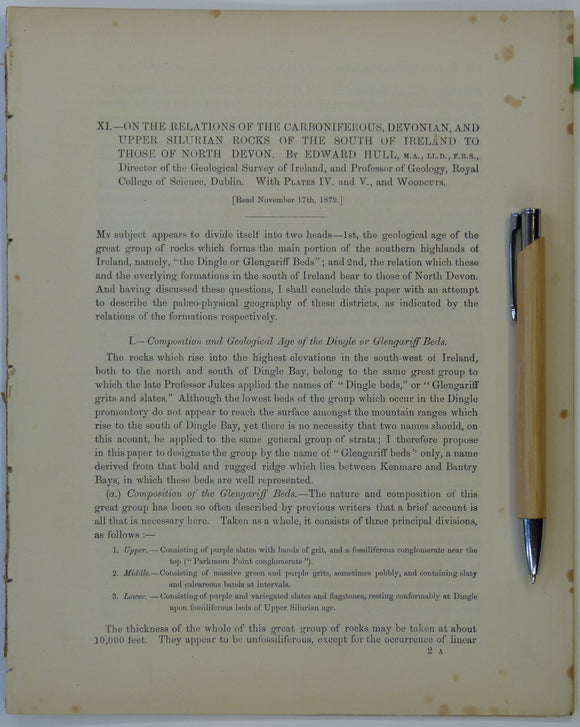
Hull, Edmund. (1879). ‘On the Relations of the Carboniferous, Devonian and Upper Silurian Rocks of the South of Ireland to those of North Devon’, an extract. Royal Dublin Society.
Hull, Edmund. (1879). ‘On the Relations of the Carboniferous, Devonian and Upper Silurian Rocks of the South of Ireland to those of North Devon’, an extract from the Scientific Transactions...
Gardiner, C.I., and Reynolds, S.H. (1912). ‘Geological Map of the Kilbride Peninsula (Mayo)’ [Ireland] in ‘The Ordovician and Silurian Rocks of the Kilbride Peninsula (Mayo)’, extract. Geological Society of London.
Gardiner, C.I., and Reynolds, S.H. (1912). ‘Geological Map of the Kilbride Peninsula (Mayo)’ [Ireland] in ‘The Ordovician and Silurian Rocks of the Kilbride Peninsula (Mayo)’, extract from the Quarterly Journal...
Gardiner, C.I. (1914). ‘Geological Map of the Lough Nafooey Area’ [Ireland] in ‘The Ordovician and Silurian Rocks of the Lough Nafooey Area (County Galway)’, extract. Geological Society of London.
Gardiner, C.I. (1914). ‘Geological Map of the Lough Nafooey Area’ [Ireland] in ‘The Ordovician and Silurian Rocks of the Lough Nafooey Area (County Galway)’, extract from the Quarterly Journal of...
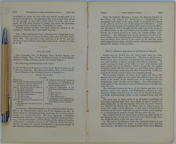
Beete Jukes, J. (1862). ‘Geological Map of parts of the Counties of Cork and Waterford’ in ‘On the Mode of Formation of the River Valleys in the South of Ireland’ extract. Geological Society of London.
Beete Jukes, J. (1862). ‘Geological Map of parts of the Counties of Cork and Waterford’ in ‘On the Mode of Formation of the River Valleys in the South of Ireland’...
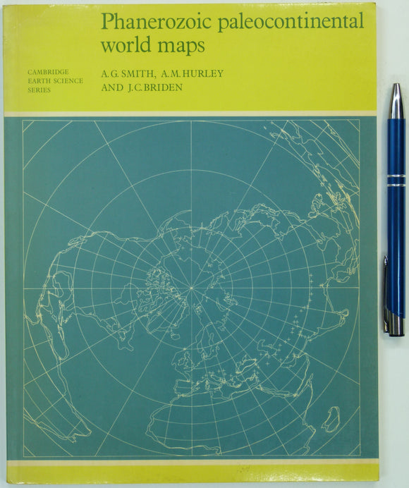
Smith, AG, Hurley, AM, and Riden, JC (eds) (1980). Phanerozoic Paleocontinental World Maps. Cambridge University Press, 1st edition,. Cambridge University Press.
Smith, AG, Hurley, AM, and Riden, JC (eds) (1980). Phanerozoic Paleocontinental World Maps. Cambridge University Press, 1st edition, 98pp. Paperback, negligible wear. Outline maps without geology of continent positions at...
Haswell-Smith, Hamish (1996). The Scottish Islands; a Comprehnsive Guide to Every Scottish Island. Edinburgh, Canongate. 423 pp. 1st edition. Canongate.
Haswell-Smith, Hamish (1996). The Scottish Islands; a Comprehnsive Guide to Every Scottish Island. Edinburgh, Canongate. 423 pp. 1st edition. Turquoise cloth covered hardback with gilt embossed lettering to spine. dustjacket....
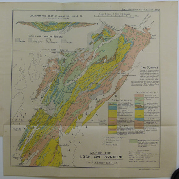
Bailey, Edward B, (1913), ‘Map of the Loch Awe Syncline’. Fold-out colour printed geological map and section. QJGS.
Bailey, Edward B, (1913), ‘Map of the Loch Awe Syncline’. Fold-out colour printed geological map and section, 1:253,440 (4 miles to an inch), 28 x 28cm in ‘The the Loch...
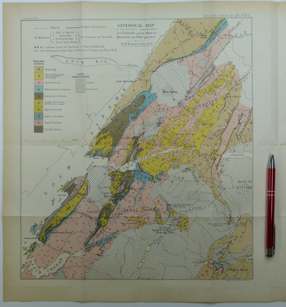
Bailey, Edward B, (1910), ‘Geological Map of the District Lying Between Loch Linnhe and the Moor of Rannoch and Etive Granites. QJGS.
Bailey, Edward B, (1910), ‘Geological Map of the District Lying Between Loch Linnhe and the Moor of Rannoch and Etive Granites’. Fold-out colour printed geological map and section, 1:126,720 (2...
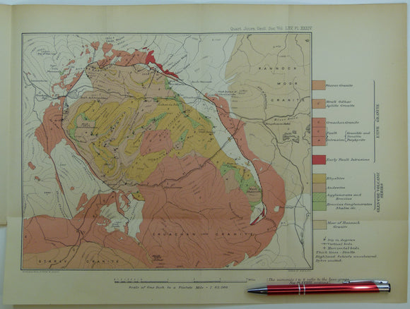
Clough, CT., Maufe, HB., and Bailey, Edward B, (1909), geological map (untitled) Glens Coe and Etive and mountains between. Fold-out colour printed. QJGS.
Clough, CT., Maufe, HB., and Bailey, Edward B, (1909), geological map (untitled) Glens Coe and Etive and mountains between. Fold-out colour printed geological map, 1:63,360, 28.5 x 38.5cm in ‘The...
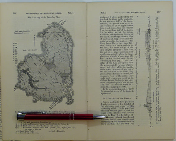
Giekie, Archibald, (1871), ‘Map of the Island of Eigg. b/w geological map, 1:63,360,. QJGS.
Giekie, Archibald, (1871), ‘Map of the Island of Eigg. b/w geological map, 1:63,360, 21.5x13.5cm in ‘On the Tertiary Volcanic Rocks of the British Islands’, extract from Quarterly Journal of the...
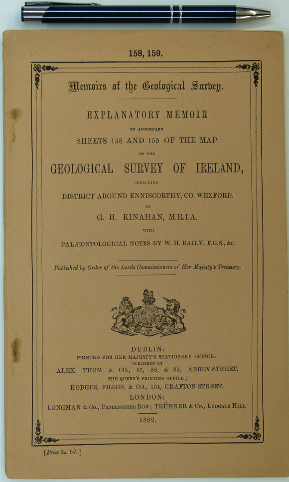
Ireland sheet memoir 158/159, (Enniscorthy/ Blackwater) 1882. Explanatory Memoir - Sheets 158/159 – of the District of Enniscorthy. Very good condition. Geological Survey of Ireland.
Ireland sheet memoir 158/159, (Enniscorthy/ Blackwater), Explanatory Memoir to accompany Sheets 158 and 159 of the Map of the Geological Survey of Ireland including District around Enniscorthy, Co. Wexford. 1882....
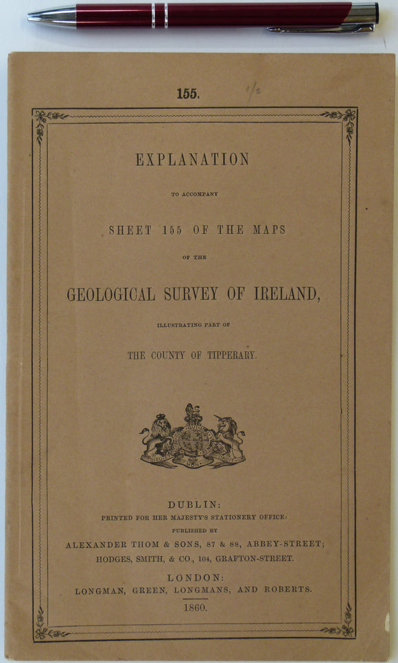
Ireland sheet memoir 155, (Cashel) 1860. Explanations - Sheet 155 - illustrating part of the County of Tipperary. Very good condition. Geological Survey of Ireland.
Ireland sheet memoir 155, Explanations to accompany Sheet 155 of the Maps of the Geological Survey of Ireland illustrating parts of the County of Tipperary. 1860. First edition. 28pp. Paperback....
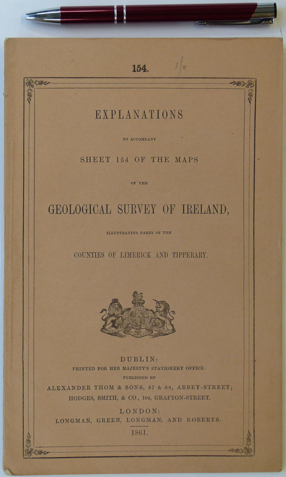
Ireland sheet memoir 154, (Tipperary) 1861. Explanations - Sheet 154 - illustrating parts of Tipperary and the King’s and Queens’s Counties. Near fine condition. Geological Survey of Ireland.
Ireland sheet memoir 154, Explanations to accompany Sheet 154 of the Maps of the Geological Survey of Ireland illustrating parts of the Counties of Limerick and Tipperary. 1861. First edition....
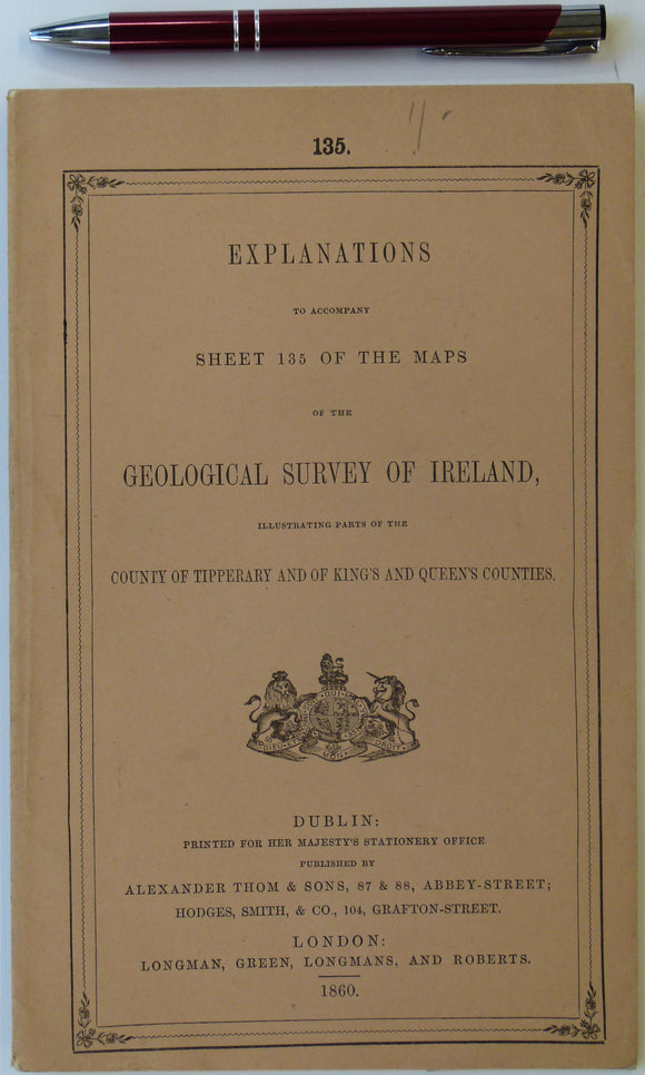
Ireland sheet memoir 135, (Ennis) 1860. Explanations - Sheet 135 - illustrating parts of Tipperary and King’s and Queens’s Counties. Near fine condition. Geological Survey of Ireland.
Ireland sheet memoir 135, Explanations to accompany Sheet 135 of the Maps of the Geological Survey of Ireland illustrating parts of the County of Tipperary and of King’s and Queens’s...
Sheet Memoir 280. Wells and Cheddar, by Green, GW and Welch, FB. 1965, 1st edition. Geological Survey of England & Wales.
Wells and Cheddar, by Green, GW and Welch, FB. 1965, 1st edition. 225pp, hardback in orange cloth covered boards with orange DJ with photo. Still the current issue (2024) at...