Free UK postage
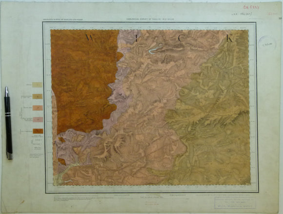
Sheet 53nw, Old Series 1".1867.Warwickshire: Warwick, Coventry. Hand coloured engraving. Geological Survey of England & Wales.
Sheet 53nw, Old Series 1".1867.Warwickshire: Warwick in SW, Coventry in NW. Hand coloured engraving, 40 x 52cm. Flat, linen-backed, age-toned, slightly soiled, slightly faded, trimmed, library stamps, pinhole in each...
Regular price £2900 £29.00
Yorkshire, Sheet 152 6", 1854. Yorks, Blubberhouses, 27.5 x 40 - Colour wash on topographical map. Geological Survey of England & Wales.
Yorkshire, Sheet 152 6", 1854. Yorks, Blubberhouses, 27.5 x 40 - Colour wash on topographical map. Topo map with geol on SE only Good. Flat cartridge. Bright. Good graphic.
London Sheet 4sw 6", Hammersmith. Geological Survey of England & Wales.
London Sheet 4sw 6", Hammersmith. VG trimmed slightly with linen taped edge
Derbyshire 58sw, 6". Calke Park, 1901/1905, black outline, blue geology. Geological Survey of England & Wales.
Derbyshire 58sw, 6". Calke Park, 1901/1905, black outline, blue geology. Includes part Leicestershire 9sw. Hand coloured except for drift areas. Cut, mounted on linen, folded between red card covers. In...
Sheet 15, ¼” Index series. (1889). Geological Survey of England and Wales. Covering English Channel coast from Selsey Bill to Hastings in Sussex. Hand-coloured lithograph. British Geological Survey.
Sheet 15, ¼” Index series. (1889). Geological Survey of England and Wales. Covering English Channel coast from Selsey Bill to Hastings in Sussex. Hand-coloured lithograph, 72 x 91 cm, dissected...
Regular price £2500 £25.00
Sheet 14, ¼” Index series. (1892). Geological Survey of England and Wales. Covering English Channel coast from Start Point, Devon to Portsmouth. Hand-coloured lithograph. British Geological Survey.
Sheet 14, ¼” Index series. (1892). Geological Survey of England and Wales. Covering English Channel coast from Start Point, Devon to Portsmouth. Hand-coloured lithograph, 72 x 91 cm, dissected and...
Sheet 6, ¼” Index series. (1886). Geological Survey of England and Wales. Covering North Sea coast from Staithes, Yorkshire to mouth of Humber River. British Geological Survey.
Sheet 6, ¼” Index series. (1886). Geological Survey of England and Wales. Covering North Sea coast from Staithes, Yorkshire to mouth of Humber River. Hand-coloured lithograph, in two parts –...
Surrey. (1863). Geological Map of Surrey. London: J. Van Vorst for Holmesdale Natural History Club. Hand-coloured lithograph 1:126,720. Holmesdale.
Surrey. (1863). Geological Map of Surrey. London: J. Van Vorst for Holmesdale Natural History Club. Hand-coloured lithograph 1:126,720 (53.5 x 56.5) folded, age-toned, colours bright, but deep marginal tears with...
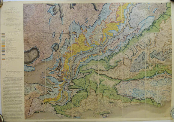
William Smith REPRO of Oxford-centred part of Delineations of the Strata. National Museum of Wales.
William Smith REPRO of Oxford-centred part of Delineations of the Strata of England and Wales with part of Scotland of 1815. 1975 reproduction by National Museum of Wales. Full size...
London Sheet 14nw 6", Bromley. Geological Survey of England & Wales.
London Sheet 14nw 6", Bromley. VG
Regular price £2400 £24.00
London Sheet 6sw 6", Lower Lea Valley. Geological Survey of England & Wales.
London Sheet 6sw 6", Lower Lea Valley. VG
London Sheet 4nw 6", Willesden. Geological Survey of England & Wales.
London Sheet 4nw 6", Willesden. VG
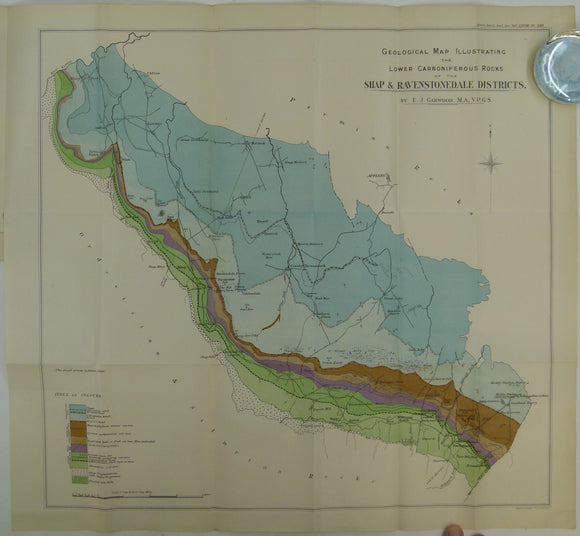
Garwood, EJ. (1912). ‘The Lower Carboniferous Succession in the North-West of England’, extract from the Quarterly Journal of the Geological Society, v68, pp 449–586 + 4 maps. Geological Society of London.
Garwood, EJ. (1912). ‘The Lower Carboniferous Succession in the North-West of England’, extract from the Quarterly Journal of the Geological Society, v68, pp 449 – 586. Includes 4 colour printed...
Regular price £2200 £22.00
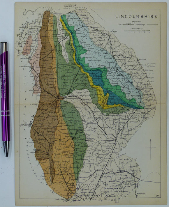
Lincolnshire (1864) county geological map from Reynolds’s Geological Atlas of Great Britain, 1st edition. Reynolds.
Lincolnshire (1864) county geological map from Reynolds’s Geological Atlas of Great Britain, 1st edition. Approx. 1:480,000 scale. Hand-coloured map 16.5 x 25cm with centre fold. In good condition. Narrow margins....
London Sheet 4nw 6", Willesden. VG with fold at map edge.
London Sheet 1sw 6", Brent Reservoir. Geological Survey of England & Wales.
London Sheet 1sw 6", Brent Reservoir. VG with fold at map edge.
William Smith Geological Map of Oxfordshire of 1823. 1974 REPRO
William Smith REPRO Geological Map of Oxfordshire of 1823. 1974 reproduction by British Museum (Natural History), now the Natural History Museum. Full original size 64 x 54.5cm, faithful reproduction on...
Regular price £2100 £21.00
Smith, William. (1820) REPRO Geological Map of Buckinghamshire. 1974 reproduction by the Natural History Museum. Full size 64 x 54.5cm. British Museum.
Smith, William. (1820) REPRO Geological Map of Buckinghamshire. 1974 reproduction by British Museum (Natural History), now the Natural History Museum. Full size 64 x 54.5cm faithful colour reproduction on cream...
Smith, William (1819) REPRO Geological Map of Gloucestershire. 1974 reproduction by the Natural History Museum. Full size 64 x 54.5cm. British Museum.
Smith, William (1819) REPRO Geological Map of Gloucestershire. 1974 reproduction by British Museum (Natural History), now the Natural History Museum. Full size 64 x 54.5cm faithful colour reproduction on cream...
Lobley, J.L. (1892). ‘Contoured Map of the Thames Watershed, with the North East Part of the County of Kent. Royal Commission on Metropolitan Water Supply. b/w lithograph. London County Council.
Lobley, J.L. (1892). ‘Contoured Map of the Thames Watershed, with the North East Part of the County of Kent. Royal Commission on Metropolitan Water Supply. b/w lithographed map, 68 x...
Regular price £2000 £20.00