Free UK postage
Richey, J.E. (1934~). Guide to the Geological Model of Ardnamurchan. Edinburgh: HMSO for Geological Survey and Museum,. British Geological Survey.
Richey, J.E. (1934~). Guide to the Geological Model of Ardnamurchan. Edinburgh: HMSO for Geological Survey and Museum, 49pp. + 9 plates including fold out ‘Map of Tertiary Igneous Complex of...
Regular price £1200 £12.00
Garwood, E J. (1931). ‘The Tuedian Beds of North Cumberland and Roxburghshire, East of Liddel Water)’, offprint of the QJGS, v.87. Geological Society of London.
Garwood, E J. (1931). ‘The Tuedian Beds of North Cumberland and Roxburghshire, East of Liddel Water)’, offprint of the Quarterly Journal of the Geological Society, v.87, pp.97-159 + 10 plates,...
Green, J.F.N. (1923). ‘The Structure of the Bowmore-Portaskaig District to Islay’, extract from the QJGS, v.79. Geological Society of London.
Green, J.F.N. (1923). ‘The Structure of the Bowmore-Portaskaig District to Islay’, extract from the Quarterly Journal of the Geological Society, v.79, pp.72-105 + foldout colour printed ‘[Geological] Map of the...
Cambridgeshire and Huntingdonshire (1889) counties geological map from Reynolds’s Geological Atlas of Great Britain, 2nd. Reynolds.
Cambridgeshire and Huntingdonshire (1889) counties geological map from Reynolds’s Geological Atlas of Great Britain, 2nd edition. Approx. 1:480,000 scale. Hand-coloured map 16.5 x 25cm with centre fold. Age-toned, tears beginning...
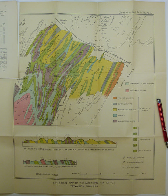
Elles, Gertrude L., (1934). ‘Geological Map of the Northern End of the Tayvallich Peninsula’ fold-out colour printed map 1:10,560. QJGS.
Elles, Gertrude L., (1934). ‘Geological Map of the Northern End of the Tayvallich Peninsula’ fold-out colour printed map 1:10,560, 52.5x44cm in ‘The Loch Na Cille Boulder Bed and its Place...
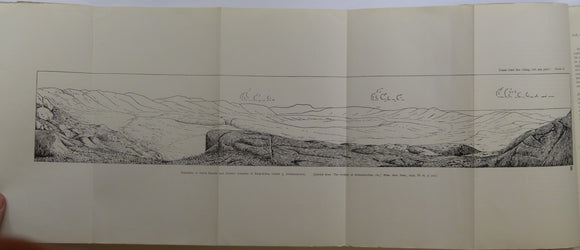
Elles, Gertrude L., (1926). ‘[Map of the] Structure of the Ben Lawers Nappe as seen on Ben Lawers and Meall Corranaich’, fold-out colour printed. QJGS.
Elles, Gertrude L., (1926). ‘[Map of the] Structure of the Ben Lawers Nappe as seen on Ben Lawers and Meall Corranaich’, fold-out colour printed map approx. 1:17,000, 29.5x46cm, and small...
Green, John FN., (1923). ‘Map of the Country about Bridgend (Islay)’. Fold-out colour printed geological map, 1:31,860. QJGS.
Green, John FN., (1923). ‘Map of the Country about Bridgend (Islay)’. Fold-out colour printed geological map, 1:31,860 (2 inches to a mile), 21.5 x 50.5cm in ‘The Structure of the...
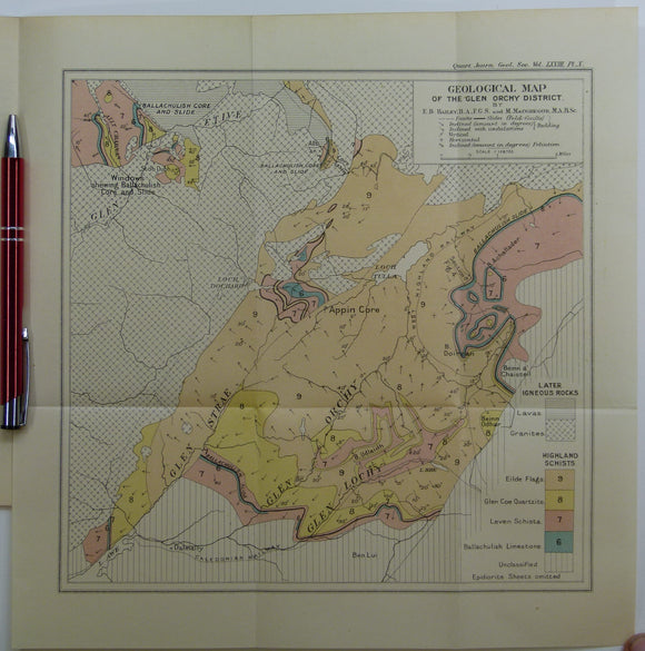
Bailey, Edward B, (1912), ‘Geological Map of the Glen Orchy District. Fold-out colour printed geological map. QJGS.
Bailey, Edward B, (1912), ‘Geological Map of the Glen Orchy District. Fold-out colour printed geological map, 1:126,720 (2 miles to an inch), 27.5 x 27cm in ‘The Glen Orchy Syncline’...
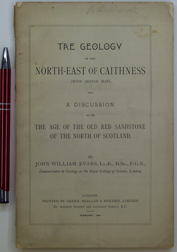
Evans, John W., (1891), geological map (untitled) of North-East Caithness. Fold-out b/w printed geological map. private publication.
Evans, John W., (1891), geological sketch map (untitled) of North-East Caithness. Fold-out b/w printed geological map, approx. 1:253,440, 42.5 x 37cm in ‘The Geology of the North-East of Caithness’ privately...
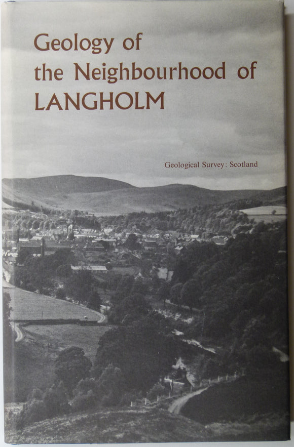
Sheet memoir 11. (1967). Lumsden, GI. et al. Geology of the Neighbourhood around Langholm. Geological Survey of Scotland. Geological Survey of Scotland.
Sheet memoir 11. (1967). Lumsden, GI. et al. Geology of the Neighbourhood around Langholm. Geological Survey of Scotland, 255pp. + 8 plates. Hard-cover, blue cloth covered boards with dust jacket,...
Nicholls, G.F. (1950). ‘The Glenelg-Ratagain Igneous complex’ Nicholls, extract from the Quarterly Journal of the Geological Society, vol 106. Geological Society of London.
Nicholls, G.F. (1950). ‘The Glenelg-Ratagain Igneous complex’ Nicholls, extract from the Quarterly Journal of the Geological Society, vol 106, part 3, pp. 309-344 + 2 plates of which one a...
Regular price £1000 £10.00
Allen, D.A. (1940). ‘The Geology of the Highland Border from Glen Almond to Glen Artney’, offprint of the Transactions of the Edinburgh Geological Society. Edinburgh Geological Society.
Allen, D.A. (1940). ‘The Geology of the Highland Border from Glen Almond to Glen Artney’, offprint of the Transactions of the Edinburgh Geological Society, v.60, pt.1, pp.171-193 + two plates...
Watson, Janet. (1963). ‘Some Problems Concerning the Evolution of the Caledonides of the Scottish Highlands’, offprint of the Proceedings. Geologists' Association.
Watson, Janet. (1963). ‘Some Problems Concerning the Evolution of the Caledonides of the Scottish Highlands’, offprint of the Proceedings of the Geologists’ Association, v.74, pt.2, pp.213-258. Paperback Cover slightly soiled,...
Johnson, M.R.W. (1957). ‘The Tectonic Phenomena associated with the Post-Cambrian Thrust Movements at Coulin, Wester Ross’, offprint of the QJGS. Geological Society of London.
Johnson, M.R.W. (1957). ‘The Tectonic Phenomena associated with the Post-Cambrian Thrust Movements at Coulin, Wester Ross’, offprint of the Quarterly Journal of the Geological Society, v.113, pp.241-266 + three foldout...
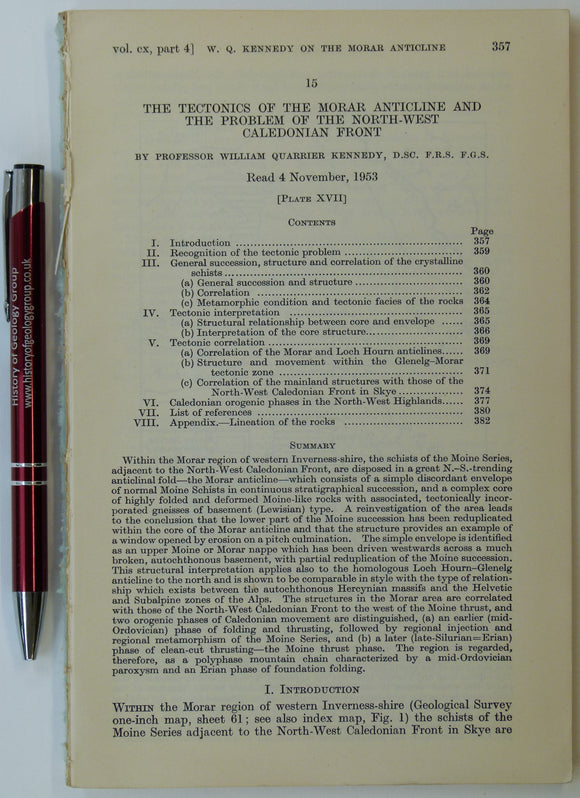
Barrow, G. (1904), ‘ Moine Gneisses of the East-Central Highlands and their Position in the Highland Sequence’, extract from the Quarterly Journal of the Geological Society. Geological Society of London.
Barrow, G. (1904), ‘ Moine Gneisses of the East-Central Highlands and their Position in the Highland Sequence’, extract from the Quarterly Journal of the Geological Society, v.55, pp.400-449 + five...
Richey, JE. (1932). ‘Tertiary Ring Structures in Britain’, extract from , Transactions of the Geological Society of Glasgow, v.19, pp.42--140. Geological Society of Glasgow.
Richey, JE. (1932). ‘Tertiary Ring Structures in Britain’, extract from , Transactions of the Geological Society of Glasgow, v.19, pp.42--140. Neat DIY paper cover, stapled . two foldout plates. Includes ring...
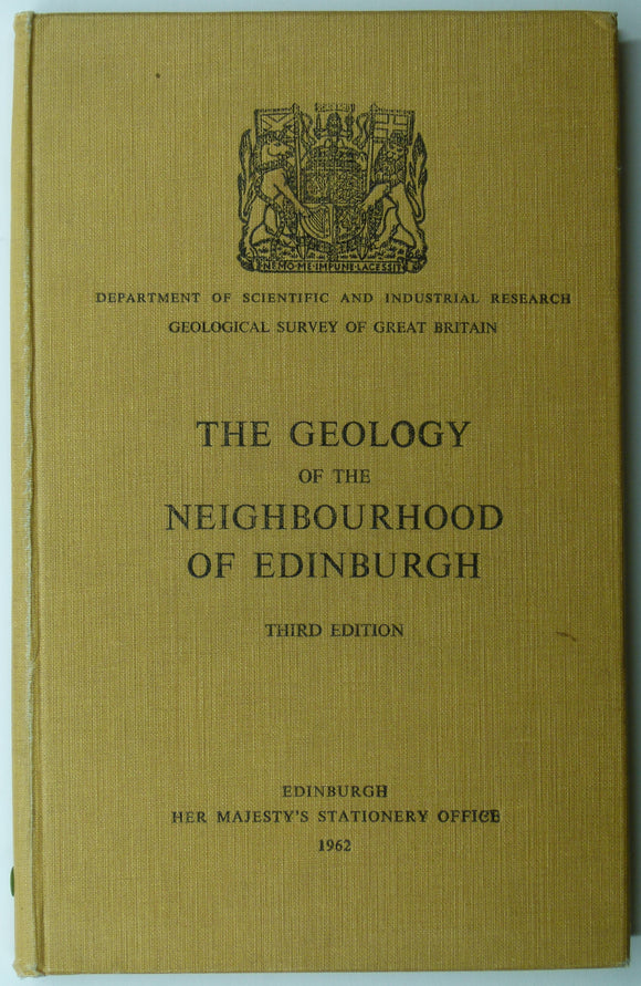
Sheet memoir 32. (1962). Mitchel, GH, and Mykura, W. et al. Geology of the Neighbourhood of Edinburgh. Geological Survey of Scotland,. Geological Survey of Scotland.
Sheet memoir 32. (1962). Mitchel, GH, and Mykura, W. et al. Geology of the Neighbourhood of Edinburgh. Geological Survey of Scotland, 2nd edition. 159pp. + 8 plates. Hard-cover, buff cloth...
Kennedy, Wm. Q. (1955). ‘Geological Map of the Morar Anticline, West Inverness-shire’, fold-out b/w map with sections,. Geological Society of London.
Kennedy, Wm. Q. (1955). ‘Geological Map of the Morar Anticline, West Inverness-shire’, fold-out b/w map with sections, 1:126,720, 21.5 x 56cm in an extract from the Quarterly Journal of the...
Anon. (1979). Mesozoic and Tertiary Volcanism in the North Atlantic and Neighbouring regions: Bull. Geological Survey of GB, No. 70. British Geological Survey.
Anon. (1979). Mesozoic and Tertiary Volcanism in the North Atlantic and Neighbouring regions: Procedings of the Flett Symposium; Bull. of the Geological Survey of GB, No. 70. London: Institute of...
Regular price £900 £9.00
Sheet memoir 82. (1913). Peach, BN and Horne, J. The Geology of Central Ross-Shire. Geological Survey of Scotland,. Geological Survey of Scotland.
Sheet memoir 82. (1913). Peach, BN and Horne, J. The Geology of Central Ross-Shire. Geological Survey of Scotland, 108pp. + 8 plates, index and list of GSS maps and publications....


![Elles, Gertrude L., (1926). ‘[Map of the] Structure of the Ben Lawers Nappe as seen on Ben Lawers and Meall Corranaich’, fold-out colour printed](http://geolmaps.com/cdn/shop/products/ScotExtr_52_{width}x.jpg?v=1652193357)
![Elles, Gertrude L., (1926). ‘[Map of the] Structure of the Ben Lawers Nappe as seen on Ben Lawers and Meall Corranaich’, fold-out colour printed](http://geolmaps.com/cdn/shop/products/ScotExtr_52_580x.jpg?v=1652193357)