Free UK postage
Gribble, C.D. (ed) (1976). Ardnamurchan, a Guide to Geological Excursions. Edinburgh Geological Society,1st edition,122pp. + map. Edinburgh Geological Society.
Gribble, C.D. (ed) (1976). Ardnamurchan, a Guide to Geological Excursions. Edinburgh Geological Society,1st edition,122pp. + map in rear pocket. Paperback, pocket sized, negligible wear. Manuscript gift note on front free...
Regular price £1500 £15.00
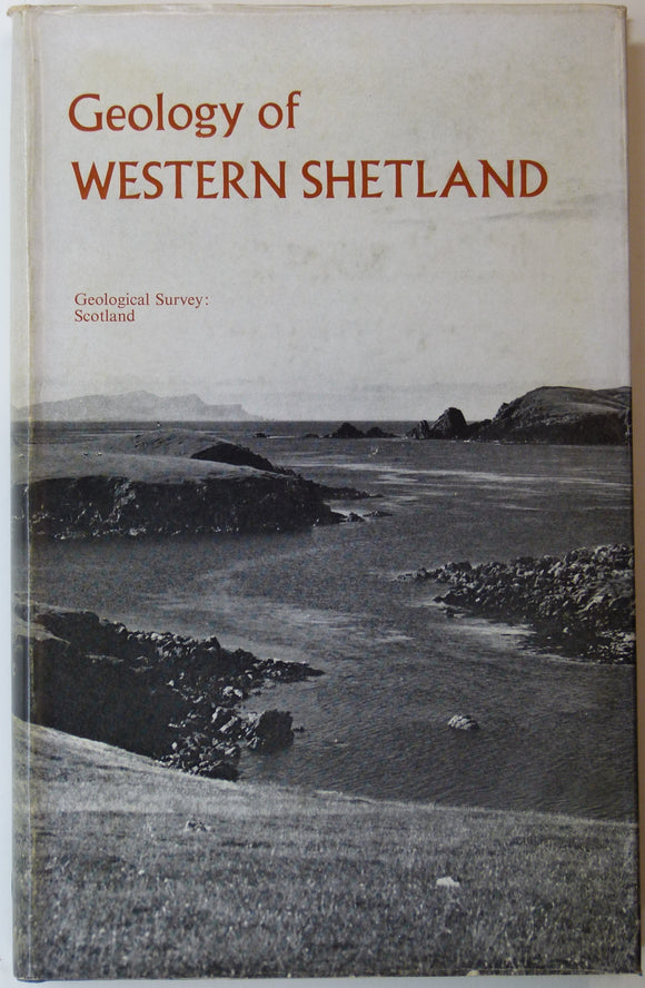
Sheet memoir 127 and parts of 125, 126, 128. (1976). Mykura, W. and Phemister, J. The Geology of Western Shetland. Geological Survey of Scotland,. Geological Survey of Scotland.
Sheet memoir 127 and parts of 125, 126, 128. (1976). Mykura, W. and Phemister, J. The Geology of Western Shetland. Geological Survey of Scotland, 304pp. + 30 plates, including 8...
Sheet memoir 80 and parts 90, 81 and 91. (1966). Anderson, F.W. and Dunham, K.C. The Geology Northern Skye. Memoirs. British Geological Survey.
Sheet memoir 80 and parts 90, 81 and 91. (1966). Anderson, F.W. and Dunham, K.C. The Geology Northern Skye. Memoirs of the Geological Survey, Scotland. Edinburgh: HMSO. 1st edition, 216...
Regular price £1400 £14.00
Garwood, E J. (1931). ‘The Tuedian Beds of North Cumberland and Roxburghshire, East of Liddel Water)’, extract of the QJGS. Geological Society of London.
Garwood, E J. (1931). ‘The Tuedian Beds of North Cumberland and Roxburghshire, East of Liddel Water)’, extract of the Quarterly Journal of the Geological Society, v.87, pp.97-159 + 10 plates,...
Green, John FN., (1931), ‘Geological Map of part of the Southwest Highlands’. Fold-out colour printed geological map,. QJGS.
Green, John FN., (1931), ‘Geological Map of part of the Southwest Highlands’. Fold-out colour printed geological map, 1:189,960 (3 miles to 1 inch), 21.5 x 67cm in ‘The South-West Highland...
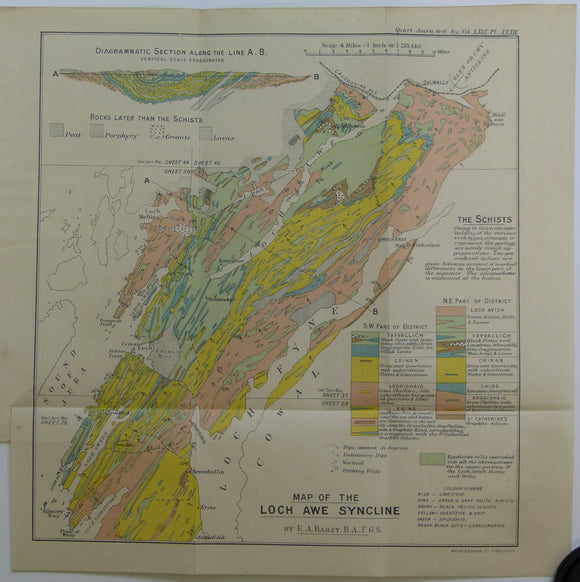
Bailey, Edward B, (1913), ‘Map of the Loch Awe Syncline’. Fold-out colour printed geological map and section. QJGS.
Bailey, Edward B, (1913), ‘Map of the Loch Awe Syncline’. Fold-out colour printed geological map and section, 1:253,440 (4 miles to an inch), 28 x 28cm in ‘The the Loch...
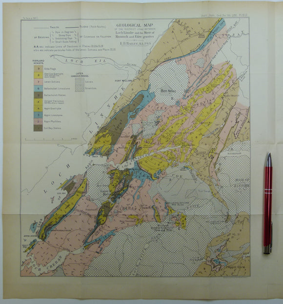
Bailey, Edward B, (1910), ‘Geological Map of the District Lying Between Loch Linnhe and the Moor of Rannoch and Etive Granites. QJGS.
Bailey, Edward B, (1910), ‘Geological Map of the District Lying Between Loch Linnhe and the Moor of Rannoch and Etive Granites’. Fold-out colour printed geological map and section, 1:126,720 (2...
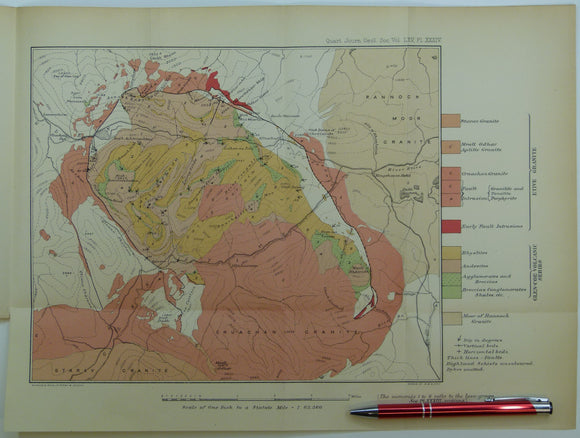
Clough, CT., Maufe, HB., and Bailey, Edward B, (1909), geological map (untitled) Glens Coe and Etive and mountains between. Fold-out colour printed. QJGS.
Clough, CT., Maufe, HB., and Bailey, Edward B, (1909), geological map (untitled) Glens Coe and Etive and mountains between. Fold-out colour printed geological map, 1:63,360, 28.5 x 38.5cm in ‘The...
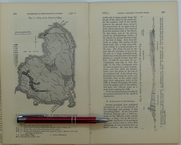
Giekie, Archibald, (1871), ‘Map of the Island of Eigg. b/w geological map, 1:63,360,. QJGS.
Giekie, Archibald, (1871), ‘Map of the Island of Eigg. b/w geological map, 1:63,360, 21.5x13.5cm in ‘On the Tertiary Volcanic Rocks of the British Islands’, extract from Quarterly Journal of the...
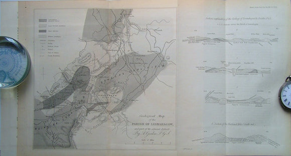
Geological Map of the Parish of Lesmahagow and part of the Adjacent District, 1860. Geikie, A, QJGS.
Geological Map of the Parish of Lesmahagow and part of the Adjacent District, 1860, with accompanying paper included, On the Old Red Sandstone of the South of Scotland, 12pp. Scale...
Macculloch, John (1840). REPRO. Geological Map of Scotland. Reproduction by British Geological Survey. 92.5 x 74 cm. British Geological Survey.
Macculloch, John (1840). REPRO. Geological Map of Scotland. Reproduction by British Geological Survey. 92.5 x 74 cm (a quarter of the original size). Faithful colour reproduction on white silk-finish medium...
Regular price £1200 £12.00
Richey, J.E. (1934~). Guide to the Geological Model of Ardnamurchan. Edinburgh: HMSO for Geological Survey and Museum,. British Geological Survey.
Richey, J.E. (1934~). Guide to the Geological Model of Ardnamurchan. Edinburgh: HMSO for Geological Survey and Museum, 49pp. + 9 plates including fold out ‘Map of Tertiary Igneous Complex of...
Garwood, E J. (1931). ‘The Tuedian Beds of North Cumberland and Roxburghshire, East of Liddel Water)’, offprint of the QJGS, v.87. Geological Society of London.
Garwood, E J. (1931). ‘The Tuedian Beds of North Cumberland and Roxburghshire, East of Liddel Water)’, offprint of the Quarterly Journal of the Geological Society, v.87, pp.97-159 + 10 plates,...
Green, J.F.N. (1923). ‘The Structure of the Bowmore-Portaskaig District to Islay’, extract from the QJGS, v.79. Geological Society of London.
Green, J.F.N. (1923). ‘The Structure of the Bowmore-Portaskaig District to Islay’, extract from the Quarterly Journal of the Geological Society, v.79, pp.72-105 + foldout colour printed ‘[Geological] Map of the...
Cambridgeshire and Huntingdonshire (1889) counties geological map from Reynolds’s Geological Atlas of Great Britain, 2nd. Reynolds.
Cambridgeshire and Huntingdonshire (1889) counties geological map from Reynolds’s Geological Atlas of Great Britain, 2nd edition. Approx. 1:480,000 scale. Hand-coloured map 16.5 x 25cm with centre fold. Age-toned, tears beginning...
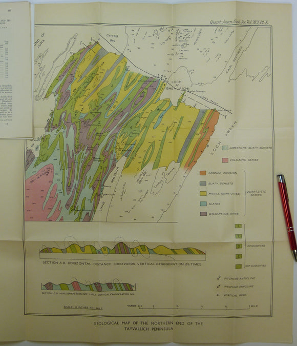
Elles, Gertrude L., (1934). ‘Geological Map of the Northern End of the Tayvallich Peninsula’ fold-out colour printed map 1:10,560. QJGS.
Elles, Gertrude L., (1934). ‘Geological Map of the Northern End of the Tayvallich Peninsula’ fold-out colour printed map 1:10,560, 52.5x44cm in ‘The Loch Na Cille Boulder Bed and its Place...
Elles, Gertrude L., (1926). ‘[Map of the] Structure of the Ben Lawers Nappe as seen on Ben Lawers and Meall Corranaich’, fold-out colour printed. QJGS.
Elles, Gertrude L., (1926). ‘[Map of the] Structure of the Ben Lawers Nappe as seen on Ben Lawers and Meall Corranaich’, fold-out colour printed map approx. 1:17,000, 29.5x46cm, and small...
Green, John FN., (1923). ‘Map of the Country about Bridgend (Islay)’. Fold-out colour printed geological map, 1:31,860. QJGS.
Green, John FN., (1923). ‘Map of the Country about Bridgend (Islay)’. Fold-out colour printed geological map, 1:31,860 (2 inches to a mile), 21.5 x 50.5cm in ‘The Structure of the...
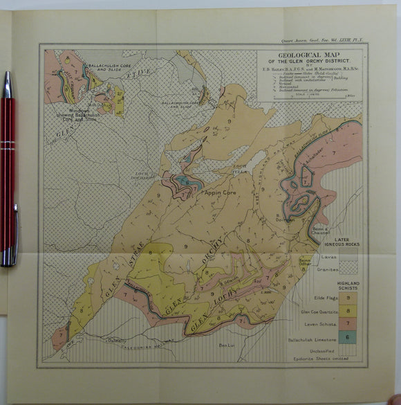
Bailey, Edward B, (1912), ‘Geological Map of the Glen Orchy District. Fold-out colour printed geological map. QJGS.
Bailey, Edward B, (1912), ‘Geological Map of the Glen Orchy District. Fold-out colour printed geological map, 1:126,720 (2 miles to an inch), 27.5 x 27cm in ‘The Glen Orchy Syncline’...
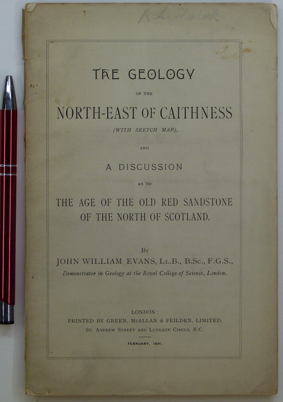
Evans, John W., (1891), geological map (untitled) of North-East Caithness. Fold-out b/w printed geological map. private publication.
Evans, John W., (1891), geological sketch map (untitled) of North-East Caithness. Fold-out b/w printed geological map, approx. 1:253,440, 42.5 x 37cm in ‘The Geology of the North-East of Caithness’ privately...




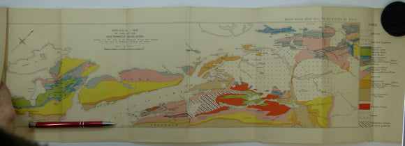







![Elles, Gertrude L., (1926). ‘[Map of the] Structure of the Ben Lawers Nappe as seen on Ben Lawers and Meall Corranaich’, fold-out colour printed](http://geolmaps.com/cdn/shop/products/ScotExtr_52_{width}x.jpg?v=1652193357)
![Elles, Gertrude L., (1926). ‘[Map of the] Structure of the Ben Lawers Nappe as seen on Ben Lawers and Meall Corranaich’, fold-out colour printed](http://geolmaps.com/cdn/shop/products/ScotExtr_52_580x.jpg?v=1652193357)