Free UK postage
Macculloch, John. 1821. A Geological Classification of Rocks, with Descriptive Synopses of the Species and Varieties. Longman et al.
Phillips, William. 1826. Outlines of Mineralogy and Geology, Comprehending the Elements of those Sciences. Phillips, William.
Phillips, William. 1818. A Selection of Facts from the Best Authorities Arranged so as to form An Outline of the Geology of England and Wales, With a Map and Sections of the Strata. William Phillips.
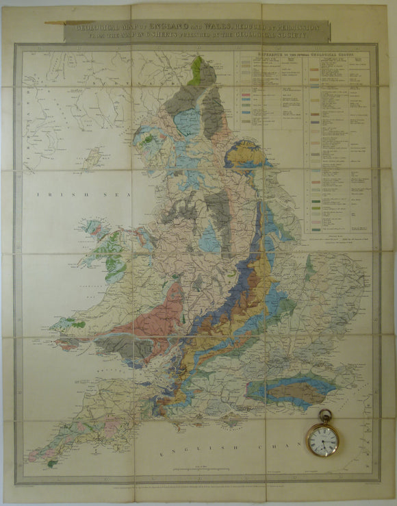
Gardner, J. 1826. Geological Map of England and Wales, Reduced from the Map in 6 Sheets Published by the Geological Society. Gardner, J..
Lyell, Charles, 1838. Elements of Geology. London: John Murray. First edition. John Murray.
De la Beche, Henry T. 1836. How to Observe Geology. Publ Chas.Knight, London, 2nd edition. De la Beche, HT.
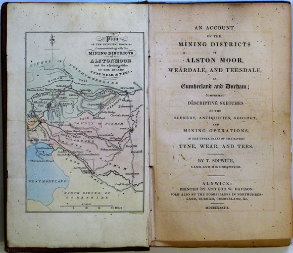
Sopwith, Thomas. 1833. An Account of the Mining Districts of Alston Moor, Weardale and Teesdale. William Davison.
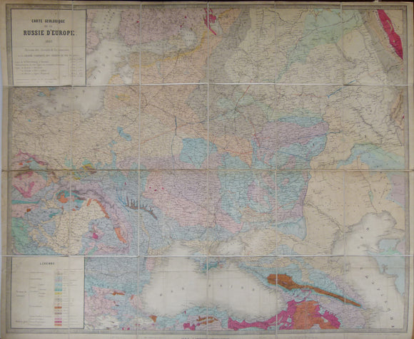
Carte Geologique de la Russie d’Europe, 1859. Approx 1:3,675,000 scale. (77 x 93.5cm) hand-coloured engraved map. Jules Guillemin.
Sheet 86 drift, Old Series 1". Lincolnshire Yorkshire: Hull at north edge Goole at west edge, Grimsby on east edge, 1891. Geological Survey of England & Wales.
Sheet 26, Old Series 1". Devon: Okehampton, Hartland on west edge Appledore on north, N.Molton on NE corner. Geological Survey of England & Wales.
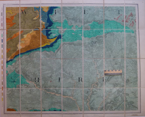
Sheet 14, Old Series 1". Covering Bath (NE corner) to Glastonbury (SW corner), 1882. Geological Survey of England & Wales.
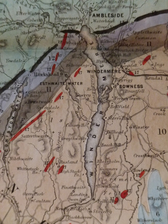
Map of the English Lakes and adjoining Country, Geologically Coloured, 1855. Ruthven, John.
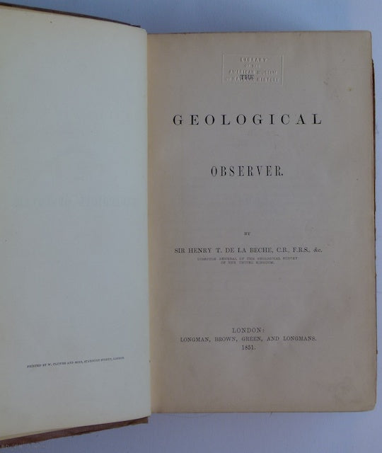
De la Beche (1851). The Geological Observer, Longmans. Longman et al.
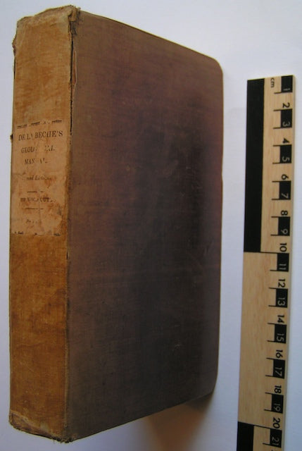
De la Beche, H. T. (1832). A Geological Manual, Treuttel and Wurtz, London, 2nd edition. Beche, de la, HT.
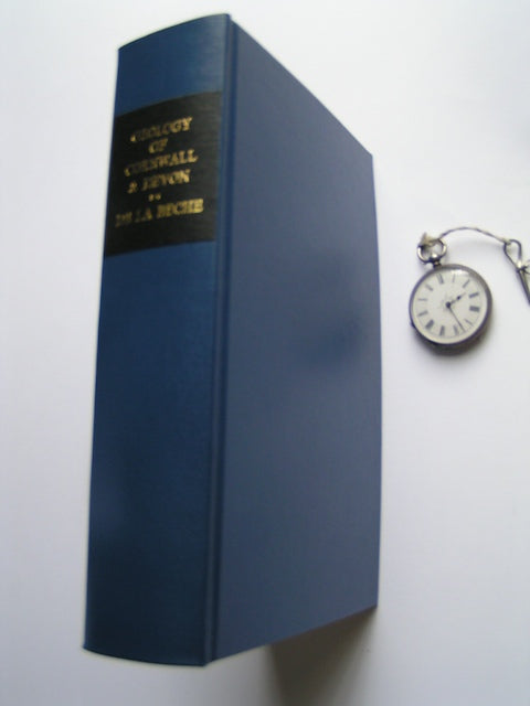
De la Beche, Henry T. (1839). Report on the Geology of Cornwall, Devon and West Somerset. Longman et al.
Lyell, Charles (1867-68), Principles of Geology or the Modern Changes of the Earth and its inhabitants, 1867-68. John Murray.
Faujas St.-Fond, B. (1907). A Journey through England and Scotland to the Hebrides in 1794, 1907. Hugh Hopkins.
Voyages aux Iles de Lipari, fait en 1781, ou Notices sur les Iles Aeoliennes, pour server a l’Histiore des Volcans. Academie Royale des Sciences.
Portlock, J.E. (1843). Report on the Geology of the County of Londonderry and of parts of Tyrone and Fermanagh. Longman et al.