Free UK postage
Sheet memoir 263 (1912). Geology of the South Wales Coal-Field, part III, the Country around Cardiff. Strahan, Aubrey et al. London: Geological. British Geological Survey.
Sheet WarOffice(UK)GSGS4324, 1:50,000. Biesboch, 18. Rijks Geologische Dienst.
Sheet WarOffice(UK)GSGS4324, 1:50,000. Kempen, 22. Rijks Geologische Dienst.
Sheet 30 Old Series 1866. Cornwall, north coast: Tintagel to Holywell Bay, inland: Bodmin, Lostwithiel. Topography 1813, geology 1866,. British Geological Survey.
Sheet; 81ne, Old Series 1". 1866. Derbyshire: Chapel en le Frith, Castleton. Hand-coloured engraving, 37 x 46cm. British Geological Survey.
Sheet 8 east half, Old Series 1". Surrey, c1868. Hand-coloured engraving. British Geological Survey.
Sheet 45ne drift, Old Series 1". 1873. Buckinghamshire, Oxfordshire: Buckingham, Souldern. Base map 1833, railways inserted 1890. Geological Survey of England & Wales.
Sheet 45ne, Old Series 1". 1873. Buckinghamshire, Oxfordshire: Buckingham, Souldern. Base map 1833, railways inserted 1890. Geological Survey of England & Wales.
Sheet 46ne Drift, Old Series 1". 1884. 1st drift edition Buckinghamshire, Hertfordshire: Ampthill, Hitchin, Baldock. Base map 1834. Geological Survey of England & Wales.
Sheet 52sw, Old Series 1". 1871. Bedfordshire, Northamptonshire: Northampton. Topography 1835. Geological Survey of England & Wales.
Sheet 53sw, Old Series 1". 1880. Warwickshire Northamptonshire: Southam, Fenny Compton. Hand coloured engraving. Geological Survey of England & Wales.
Sheet 54nw, Old Series 1". 1898. Worcestershire: Droitwich, Bromsgrove. Hand coloured engraving. Geological Survey of England & Wales.
Sheet 64 Drift, Old Series 1". 1877. First drift edition. Rutland, Lincolnshire, Leicestershire, Northamptonshire: Stamford,. British Geological Survey.
Sheet 70 Drift, Old Series 1". 1886. First edition. Lincolnshire: Newark upon Trent, Grantham. Topography 1824,. Geological Survey of England & Wales.
Sheet 35, Old Series 1". 1890. Gloucestershire / Monmouth / Wiltshire: Bristol, Chepstow, Badminton. Topography1830. British Geological Survey.
Sheet 47, Old Series 1". 1884. Hertfordshire, Cambridgeshire, Essex: Hertford, Sudbury. British Geological Survey.
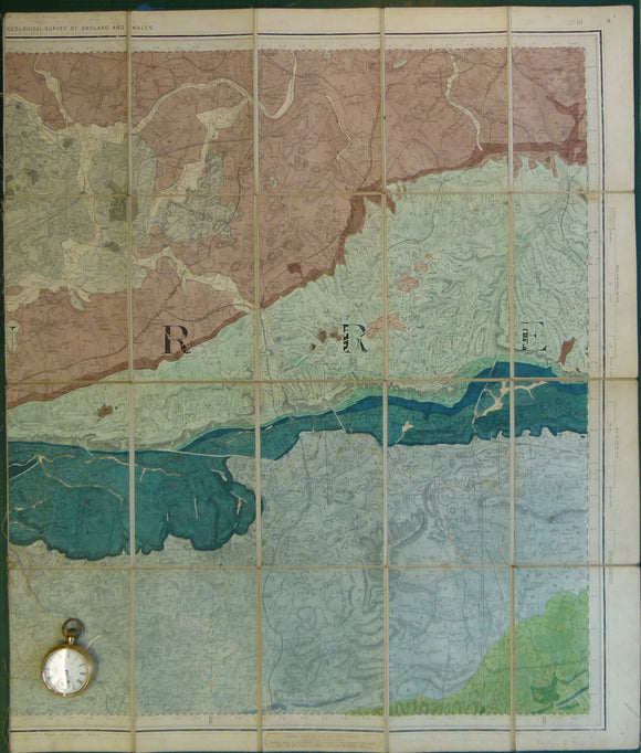
Sheet 65 drift. New Series 1". Bridlington, 1909. Geological Survey of England & Wales.
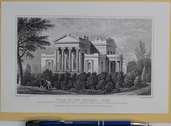
Shepherd, Thomas H. (1827). ‘Villa in the Regent’s Park; the Residence of G.B. Greenough. From Metropolitan Improvements; or London in the Nineteenth Century. Jones and Co.
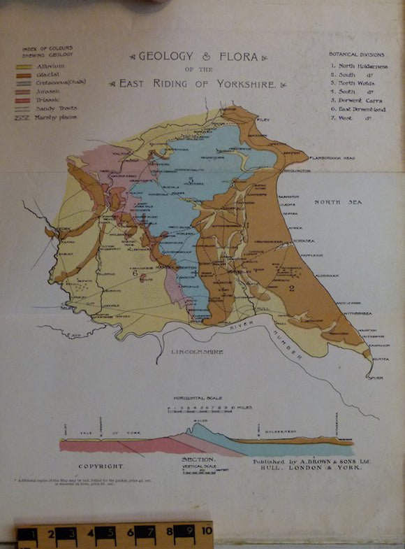
Sheppard, Thomas (1903). Geological Rambles in East Yorkshire. HB. 255pp. A. Brown & Sons.
Shipley, William. William Shipley, Founder of the Society of Arts; a Biography with documents (1979), by DGC Allan. Scolar Press.
Short, Thomas. (1734). The Natural, Experimental and Medicinal History of the Mineral Waters of Derbyshire, Lincolnshire, and Yorkshire,. private publication.
Shortland, Michael (ed)(1993). Science and Nature; Essays in the History of the Environmental Sciences. British Society History of Science.
Shotton, FW. (ed) (1978). British Quaternary Studies; Recent Advances. Oxford: Clarendon. 298 +xii pp. Reprint of 1st edition, 1977. Clarendon Press.
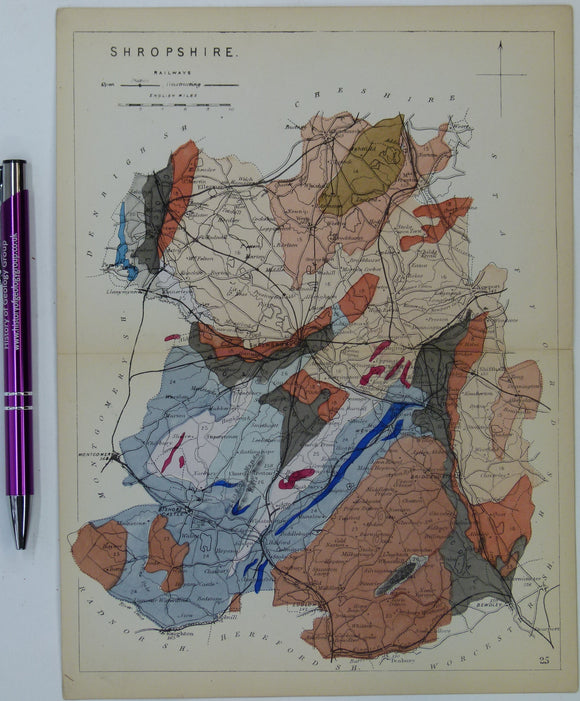
Shropshire (1864) county geological map from Reynolds’s Geological Atlas of Great Britain, 1st edition. Reynolds.