Free UK postage
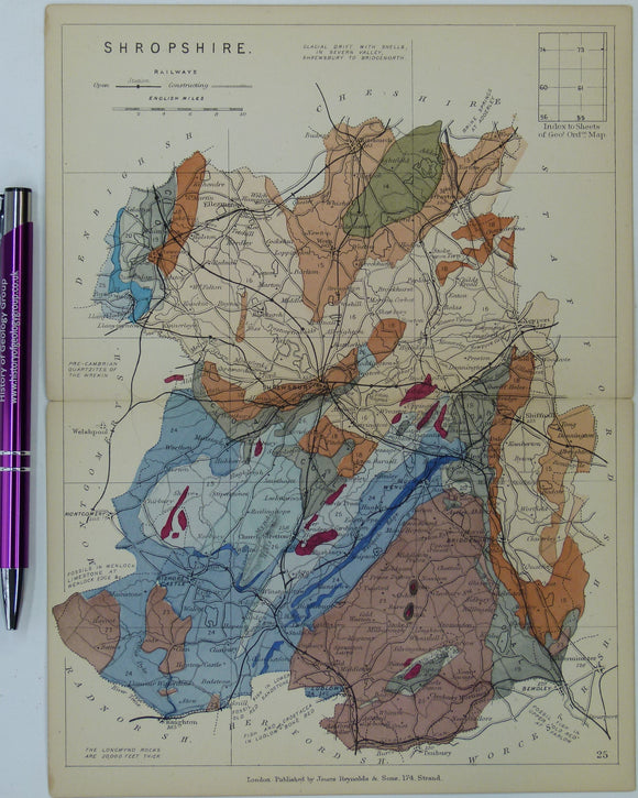
Shropshire (1889) county geological map from Reynolds’s Geological Atlas of Great Britain, 2nd edition. rey.
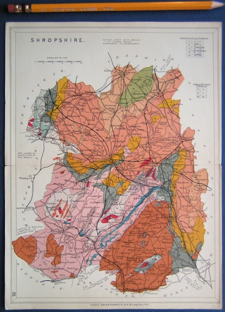
Shropshire (1913) county geological map from Stanford’s Geological Atlas of Great Britain and Ireland, 3rd edition. Stanford's and Reynolds' Atlases.
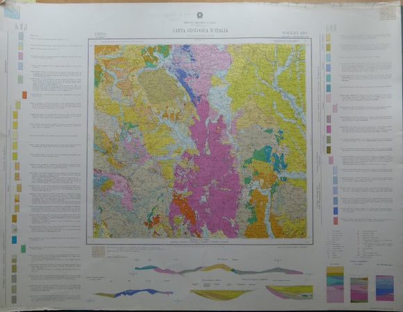
Siena, sheet 120, Carta Geologicad’Italia, 1968. 120 Siena.
Silliman, Benjamin. Benjamin Silliman; a Life in the Young Republic, 1988. by Chandos Brown.
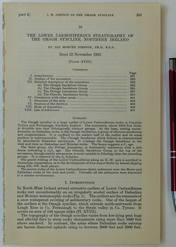
Simpson, Ian M. (1955). ‘Geological Sketch-Map of the Carboniferous Rocks of the Omagh Syncline, Northern Ireland’, fold-out b/w map. Geological Society of London.
Sissons, J.B. (1967). The Evolution of Scotland’s Scenery. Edinburgh: Oliver & Boyd. 1st edition, 259 + ix pp. Hardback. Oliver and Boyd.
Sissons, J.B. (1976). The Geomorphology of the British Isles: Scotland. London; Methuen, 1st edition,. Methuen.
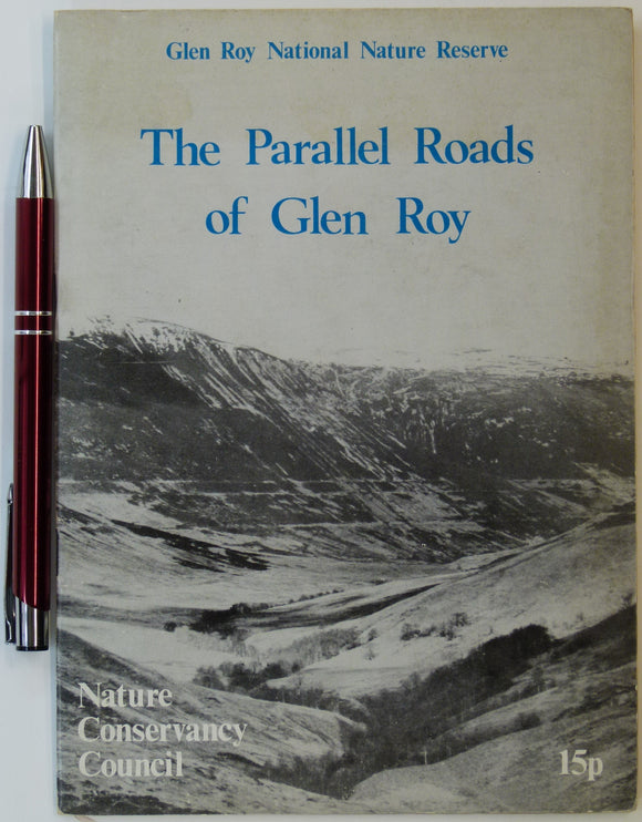
Sissons, J.B. (n.d.). The Parallel Roads of Glen Roy, Nature Conservancy Council, London. 8pp. + 4 fold-out large scale b/w landform maps. Nature Conservancy Council.
Skempton, Alec. A Particle of Clay; the biography of Alec Skempton, 2002. by Judith Niechcial.
Sketch Map of East Central Queensland; Gold, Mineral and Coalfields Between Rockhampton, Gladstone and the Dawson and Mackenzie Rivers. Brisbane. Queensland Dept of Mines.
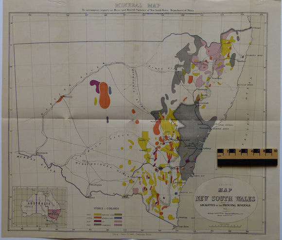
Sketch Map of New South Wales shewing the Localities of the Principal Minerals. NSW Dept of Mines.
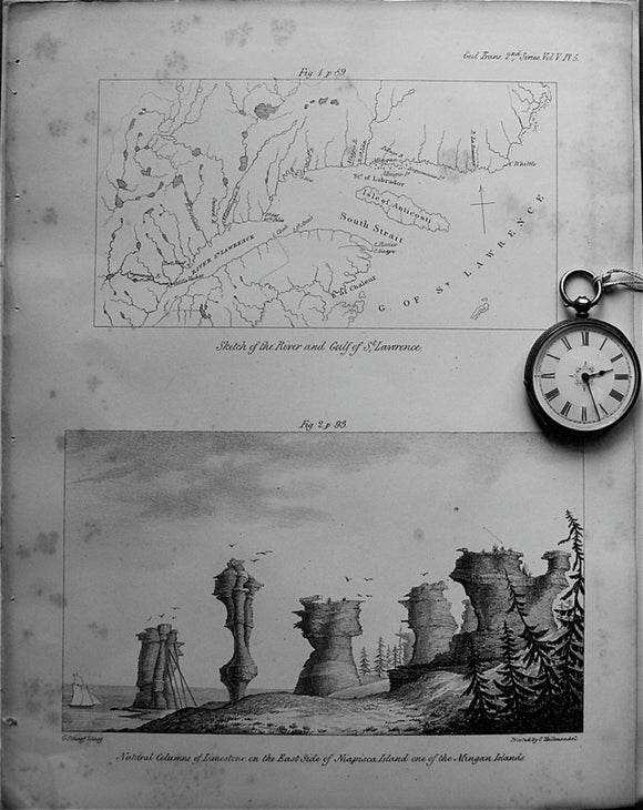
Sketch of the River and Gulf of St.Lawrence, 1833. Bayfield, TGS.
Slack, Ron (1991). Lands and Lead-Miners: a History of Brassington, in Derbyshire. Slack: Chesterfield. 197pp. Paperback. self published.
Sleeman, Andrew et al (2004). Understanding Earth Processes, Rocks and the Geological History of Ireland; a companion to the 1:1,000,000 scale. Geological Survey of Ireland.
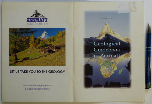
Sloan, Robert E (2002). Geological Guidebook to Zermatt. Zermatt: Association of the Alpine Museum of Zermatt, 63pp. Zermatt Museum.
Small, RJ. (1986). The Study of Landforms: a Textbook of Geomorphology. Cambridge University Press, 2nd revised ed. Cambridge University Press.
Smith BJ, Whalley, WB and Warke, PA. (eds) (1999). Uplift, Erosion and Stability: perspectives on long-term landscape development. London: Geological Society Spec Pub 162 1st. Geological Society of London.
Smith William. (2015). A Memoir to the Map and Delineation of the Strata of England and Wales with part of Scotland. FACSIMILE. British Geological Survey. British Geological Survey.
Smith, AG, Hurley, AM, and Riden, JC (eds) (1980). Phanerozoic Paleocontinental World Maps. Cambridge University Press, 1st edition,. Cambridge University Press.
Smith, Alan (2010). Lakeland Rocks; an Introductory Guide. Keswick: Rigg Side Publications, No.4. Rigg Side Publications.
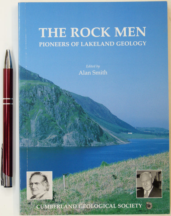
Smith, Alan (ed.) (2001). The Rock Men: Pioneers of Lakeland Geology. Cumberland Geological Society. First edition. Cumberland Geological Society.
Smith, D.I. (ed), (1975). Limestones and Caves of the Mendip Hills. Newton Abott: David & Charles. 424pp. David & Charles.
Smith, Denis (ed). (1994). Perceptions of Great Engineers; Fact and Fantasy; Proceedings of a one-day conference held at the Merseyside. Newcomen Society.
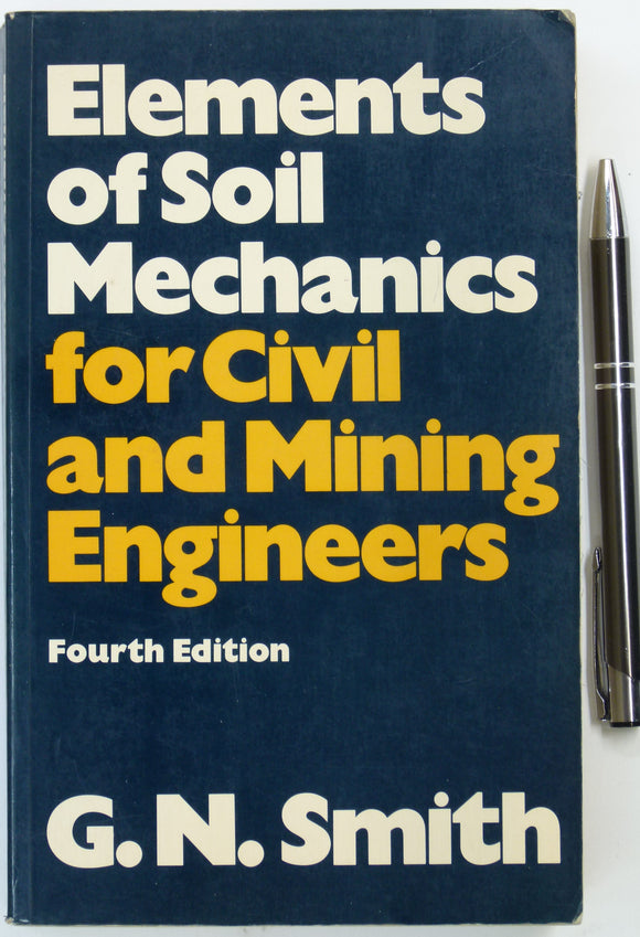
Smith, G.N. (1978). Elements of Soil Mechanics for Civil and Mining Engineers. London: Granada. 424pp. Paperback. Granada.