Free UK postage
Sheet 35, Old Series 1". 1890. Gloucestershire / Monmouth / Wiltshire: Bristol, Chepstow, Badminton. Topography1830. British Geological Survey.
Sheet 47, Old Series 1". 1884. Hertfordshire, Cambridgeshire, Essex: Hertford, Sudbury. British Geological Survey.
Sheet 65 drift. New Series 1". Bridlington, 1909. Geological Survey of England & Wales.
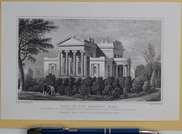
Shepherd, Thomas H. (1827). ‘Villa in the Regent’s Park; the Residence of G.B. Greenough. From Metropolitan Improvements; or London in the Nineteenth Century. Jones and Co.
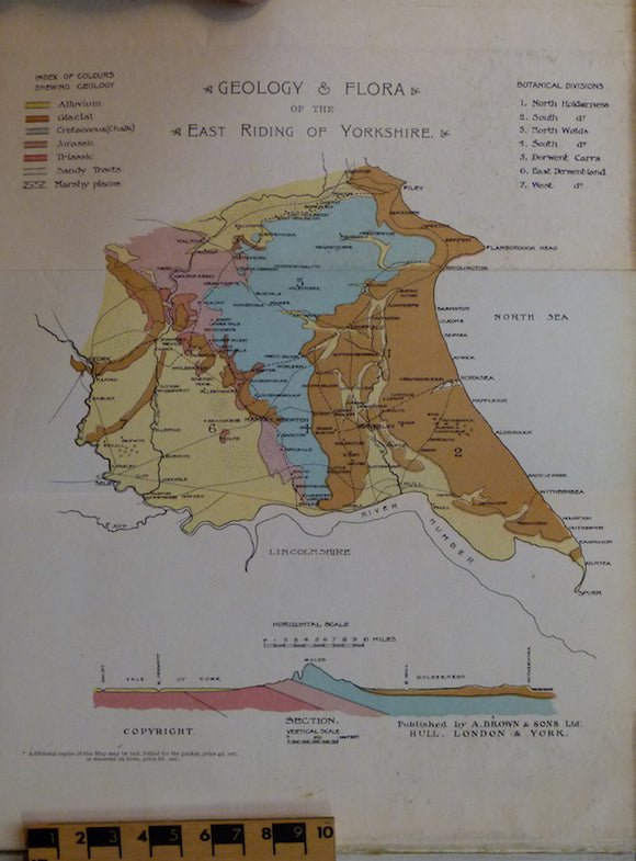
Sheppard, Thomas (1903). Geological Rambles in East Yorkshire. HB. 255pp. A. Brown & Sons.
Sheppard, Thomas (1920). William Smith: his Maps and Memoirs. Hull: A. Brown & Sons, 1st edition, 173pp.+ 6 fold-out plates. Association copy. A. Brown & Sons.
Sheppard, Thomas (1920). William Smith: his Maps and Memoirs. Offprint of from Proceedings of the Yorkshire Geological Society, Association copy. Yorkshire Geological Society.
Shipley, William. William Shipley, Founder of the Society of Arts; a Biography with documents (1979), by DGC Allan. Scolar Press.
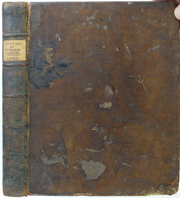
Short, Thomas. (1734). The Natural, Experimental and Medicinal History of the Mineral Waters of Derbyshire, Lincolnshire, and Yorkshire,. private publication.
Shortland, Michael (ed)(1993). Science and Nature; Essays in the History of the Environmental Sciences. British Society History of Science.
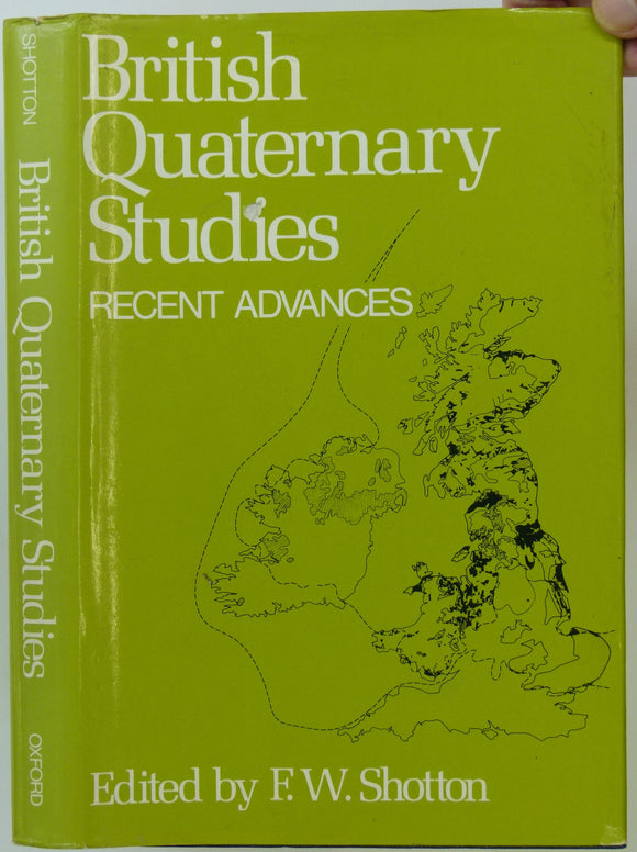
Shotton, FW. (ed) (1978). British Quaternary Studies; Recent Advances. Oxford: Clarendon. 298 +xii pp. Reprint of 1st edition, 1977. Clarendon Press.
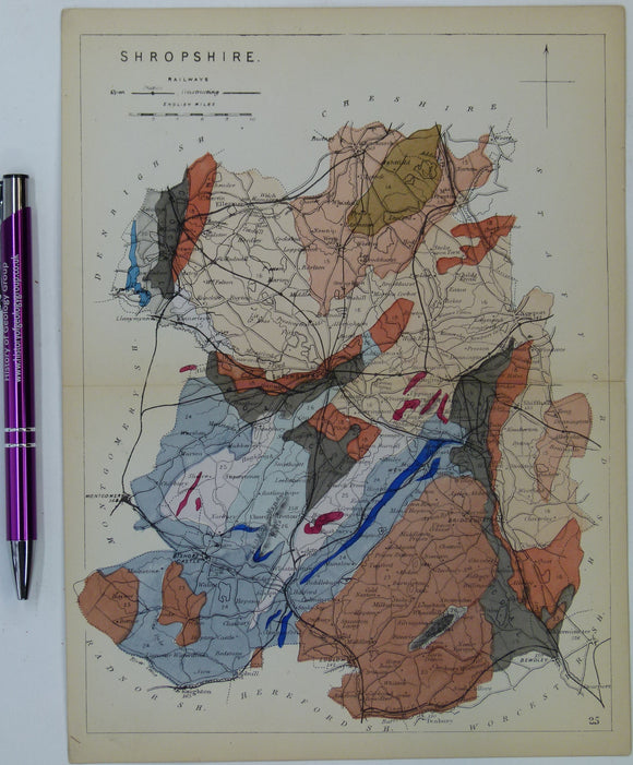
Shropshire (1864) county geological map from Reynolds’s Geological Atlas of Great Britain, 1st edition. Reynolds.
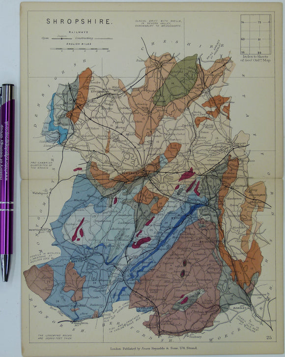
Shropshire (1889) county geological map from Reynolds’s Geological Atlas of Great Britain, 2nd edition. rey.
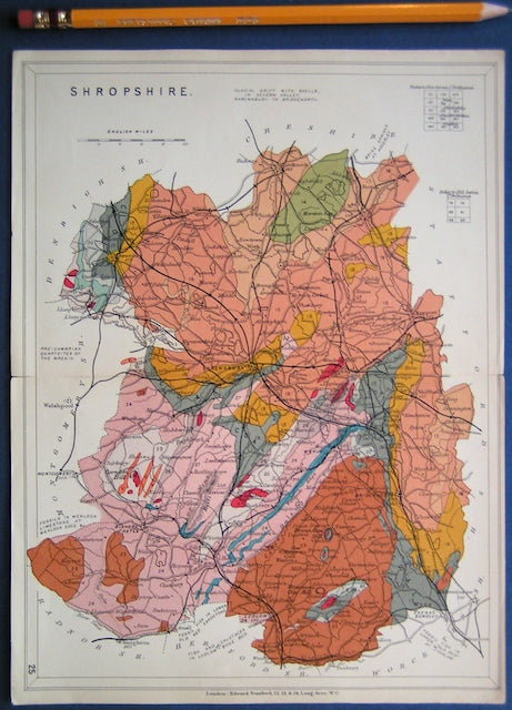
Shropshire (1913) county geological map from Stanford’s Geological Atlas of Great Britain and Ireland, 3rd edition. Stanford's and Reynolds' Atlases.
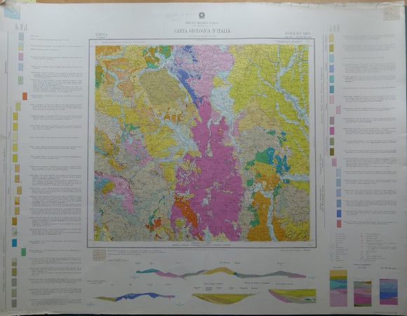
Siena, sheet 120, Carta Geologicad’Italia, 1968. 120 Siena.
Silliman, Benjamin. Benjamin Silliman; a Life in the Young Republic, 1988. by Chandos Brown.
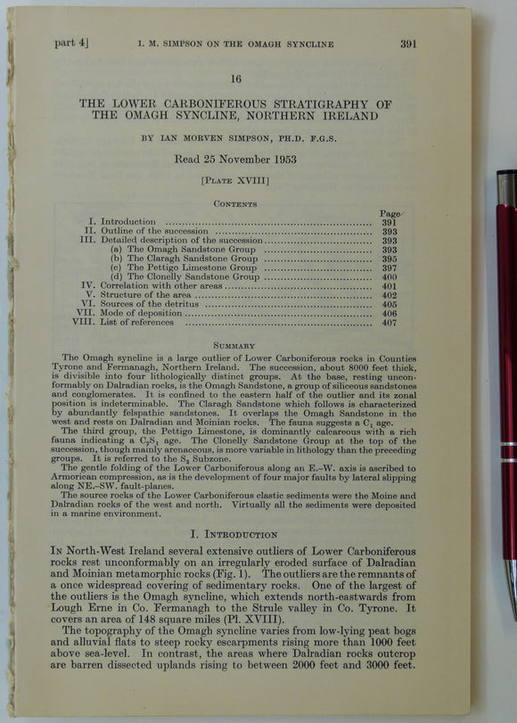
Simpson, Ian M. (1955). ‘Geological Sketch-Map of the Carboniferous Rocks of the Omagh Syncline, Northern Ireland’, fold-out b/w map. Geological Society of London.
Sissons, J.B. (1967). The Evolution of Scotland’s Scenery. Edinburgh: Oliver & Boyd. 1st edition, 259 + ix pp. Hardback. Oliver and Boyd.
Sissons, J.B. (1976). The Geomorphology of the British Isles: Scotland. London; Methuen, 1st edition,. Methuen.
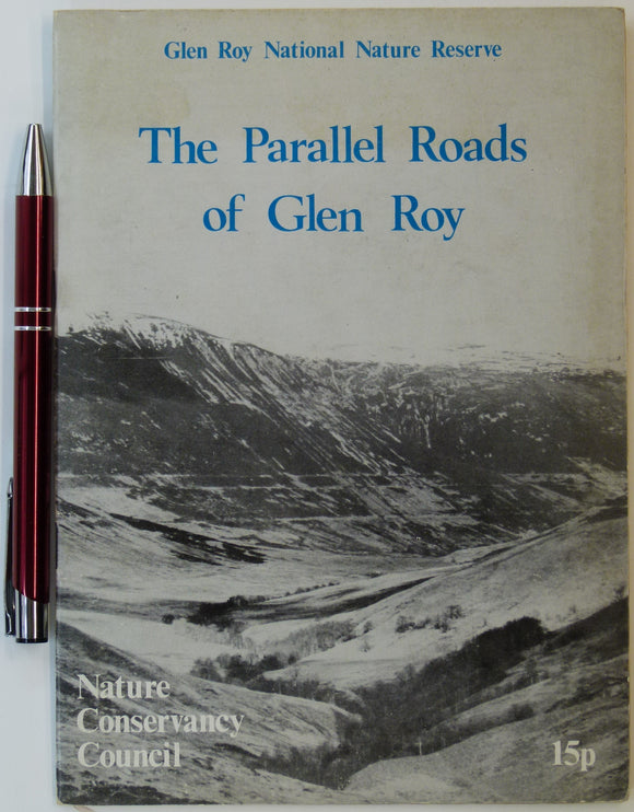
Sissons, J.B. (n.d.). The Parallel Roads of Glen Roy, Nature Conservancy Council, London. 8pp. + 4 fold-out large scale b/w landform maps. Nature Conservancy Council.
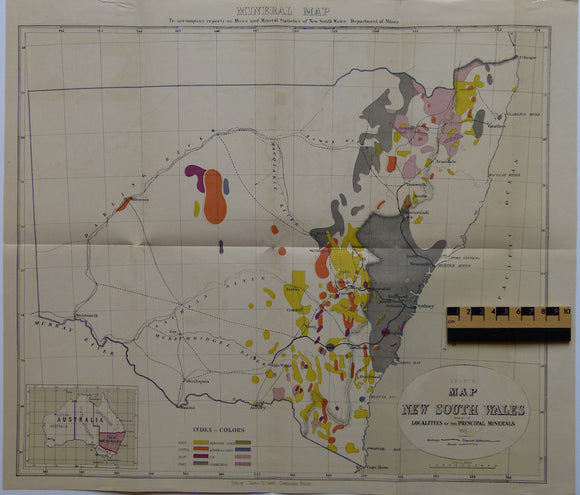
Sketch Map of New South Wales shewing the Localities of the Principal Minerals. NSW Dept of Mines.
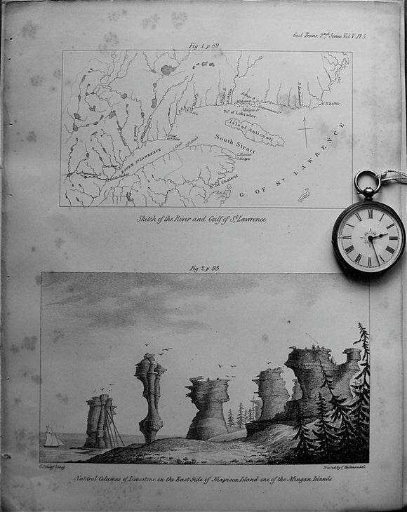
Sketch of the River and Gulf of St.Lawrence, 1833. Bayfield, TGS.
Slack, Ron (1991). Lands and Lead-Miners: a History of Brassington, in Derbyshire. Slack: Chesterfield. 197pp. Paperback. self published.
Sleeman, Andrew et al (2004). Understanding Earth Processes, Rocks and the Geological History of Ireland; a companion to the 1:1,000,000 scale. Geological Survey of Ireland.