Free UK postage
Smith, Norman (1971). A History of Dams. London: Peter Davies. 279pp. 1st ed. Hardcover,. Peter Davies.
Smith, Stanley (1912). The Carboniferous Limestone Formation of the North of England, Report. North of England Inst. of Mining and.
Smith, William (1819) REPRO Geological Map of Gloucestershire. 1974 reproduction by the Natural History Museum. Full size 64 x 54.5cm. British Museum.
Smith, William (1819) REPRO Geological Map of Gloucestershire. 1993 reproduction by British Geological Survey. British Geological Survey.
Smith, William. (1819). REPRO Geological Map of Berkshire of 1823. 1993 reproduction by British Geological Survey. 55 x 50 cm approx. 80% of original size. British Geological Survey.
Smith, William. (1820) REPRO Geological Map of Buckinghamshire. 1974 reproduction by the Natural History Museum. Full size 64 x 54.5cm. British Museum.
Smith, William. (1820). REPRO Geological Map of England and Wales. Reproduction by British Geological Survey. 87 x 66 cm (original size). British Geological Survey.
Smith, William. (1824). REPRO Geological Map of Durham. 1993 reproduction by British Geological Survey. 55 x 50 cm approx. 80% of original size. British Geological Survey.
Smith, William. Map: Poems After William Smith’s Geological Map of 1815, 2015. Worple Press.
Smith, William. Memoirs of William Smith, LL.D., Author of the “Map of the Strata of England and Wales”, 1844. John Murray.
Smith, William. Memoirs of William Smith, LL.D., author of “Map of the Strata of England and Wales, by John Phillips. Facsimile. Arno Press.
Smyth, Louis B. (1920). ‘The Carboniferous Coast-Section at Malahide, Co. Dublin’. Dublin: Royal Dublin Society. Royal Dublin Society.
Sollas, W.J. (1893). ‘The Geology of Dublin and its Neighbourhood’. London: Geologists’ Association. Reprint from Proc GA. Geologists' Association.
Sollas, W.J. (1894). ‘On the Volcanic District of Carlingford and Slieve Gullion. Part1. – On the Relation of the Granite to the Gabbro of Barnavave. Royal Irish Academy.
Somerville, Mary (1877). Physical Geography. London: John Murray, 7th revised edition, xv + 532 pp. Hardback presentation copy. John Murray.
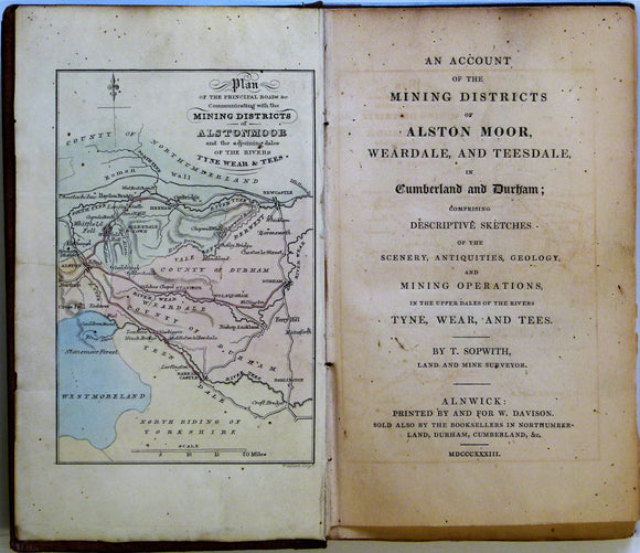
Sopwith, Thomas. 1833. An Account of the Mining Districts of Alston Moor, Weardale and Teesdale. William Davison.
Southeast Asia. Geological Map of Viet Nam. (1986). UN (ESCAP) in Cooperation with General Dept of Mines and Geology of Viet Nam. Folded colour printed map, 1:1,500,000,. United Nations.
Southeast Asia. Indo-Chine, Carte de la Mission Pavie. (1921). Paris: Ministre des Affaires Etrangeres sous le direction de M.Pavie. NOT GEOLOGICAL. Folded, colour. French colonial.
Southeast England. Boswell, P.G.H. & Double, I.S. (1922).The Geology of the Country around Felixstowe & Ipswich. London:. Geologists' Association.
Southeast England. Boswell, P.G.H.(1924). ‘Underground in East Anglia: Recent Borings and What they Teach’, offprint. Ipswich field club.
Southeast England. Buchan, Stevenson (c1939). ‘The Underground Water Supply of the County of London’, private offprint. Inst Water Engineers.
Southeast England. Gregory, J. W. (1922). Evolution of the Essex Rivers and of the Lower Thames. Colchester: Benham, 68pp. Paperback. Benham.
Southeast England. Warren, S.H. (1955). ‘The Clacton (Essex) Channel Deposits, with Appendices on the Marine Fauna,. Geological Society of London.