Free UK postage
Strahan, Aubrey et al. (1908). The Coals of South Wales with Special Reference to the Origin and Distribution of Anthracite. London, 1st edition. British Geological Survey.
Strahan, Aubrey et al. (1915). The Coals of South Wales with Special Reference to the Origin and Distribution of Anthracite. London, 2nd edition. British Geological Survey.
Straw, Allan, and Clayton, Keith (1979). The Geomorphology of the British Isles: Eastern and Central England. London: Methuen. Methuen.
Subbarao, K.V. and Sukheswala, R.N. (eds) (1982). Deccan Volcanism and Related Basalt Provinces in other parts of the World. Bangalore: Geological Society of India. Geological Society of India.
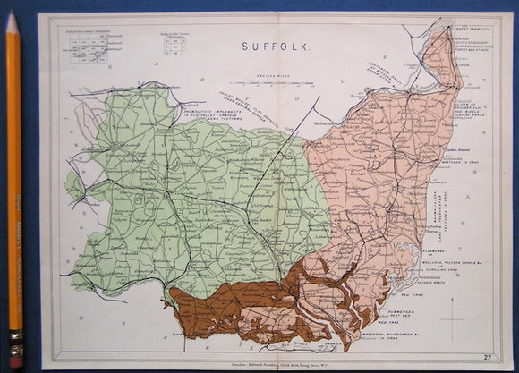
Suffolk (1864) county geological map from Reynolds’s Geological Atlas of Great Britain, 1st edition.
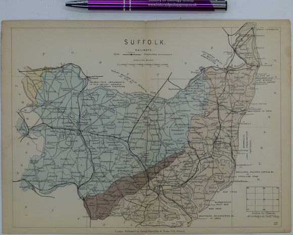
Suffolk (1913) county geological map from Stanford’s Geological Atlas of Great Britain and Ireland, 3rd edition. Stanford's and Reynolds' Atlases.
Surrey and Sussex (1889) counties geological map from Reynolds’s Geological Atlas of Great Britain, 2nd edition. Reynolds.
Surrey. (1863). Geological Map of Surrey. London: J. Van Vorst for Holmesdale Natural History Club. Hand-coloured lithograph 1:126,720. Holmesdale.
Surrey. Mathews, E. C. (1911). The Highlands of South-West Surrey: a Geographical Study in Sand and Clay. London: Adam and Charles Black,. A&C Black.
Sussex (1829). Mantell, Gideon. ‘A Tabular Arrangement of the Organic Remains of the County of Sussex’ extract from the QJGS, v.3. Geological Society of London.
Sussex (1914). Dawson, Charles and Woodward, A.S. ‘Supplementary Note on the Discovery of a Palaeolithic Human Skull and Mandible at Piltdown. Geological Society of London.
Sussex. Venebles, E.M. and Outen, A. F. (1969). Building Stones of Old Bognor. Bognor Regis: B.R. Natural Science Society Publications. 20pp. Bognor Regis Soc.
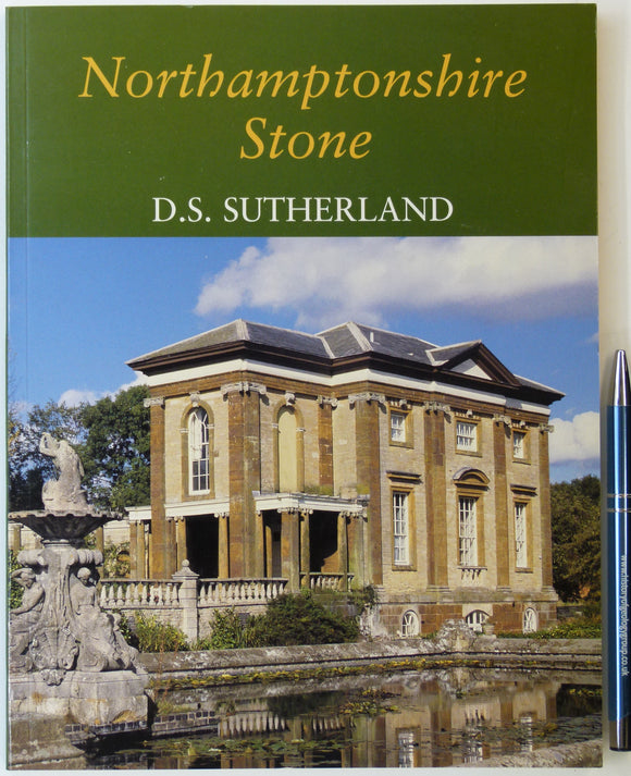
Sutherland, D.S. (2003). Northampton Stone. Wimborne: Dovecote Press. 128pp. PB, A4 format. Clean. Author's signature. Dovecote Press.
Sutherland, D.S. (ed) (1982). Igneous Rocks of the British Isles. London: Wiley, 1st edition. xv + 645pp. Hardback,. John Wiley.
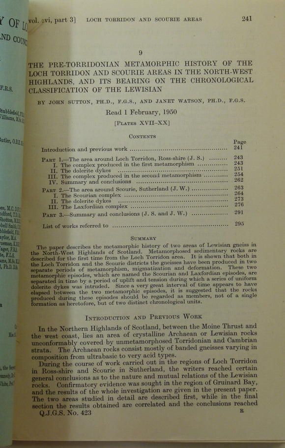
Sutton, J. and Watson, J. (1951). ‘Geological Map of the Country Around Loch Torridon’, 1:31,680 scal. Geological Society of London.
Sweeting, G.S. (ed)(1958). The Geologists’ Association, 1858-1958; A History of the First Hundred Years. Geologists' Association.
Swinnerton, HH, and Kent, PE. (1981). The Geology of Lincolnshire; from the Humber to the Wash. Lincoln: Lincoln Naturalists’ Union. 2nd edition. 130pp. PB. Lincoln Naturalists' Union.
Symonds, W.S. (1909). Old Stones. A series of Geological Notes on the Plutonic, Volcanic, Pre-Cambrian, Silurian, and Devonian Rocks in the Neighbourhood of the Malverns. Simkin Marshall.
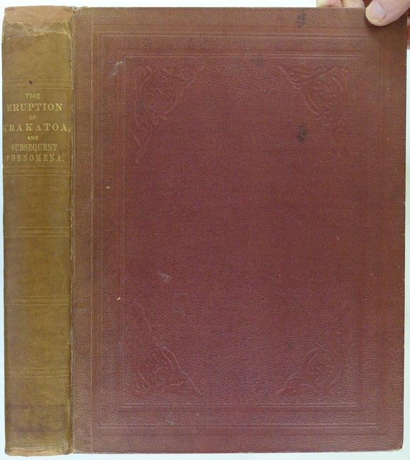
Symons, GJ, ed. (1888). The Eruption of Krakatoa and Subsequent Phenomena. Report of the Krakatoa Committee of the Royal Society. London: Trubner and Co. 1st edition. 494pp. HB,. Royal Society.
Tahirkheli, RA Khan. (1982). Geology of the Himalaya, Karakoram and Hindukush in Pakistan. Peshawar: University of. 1st edition. University of Peshawar.
Taylor, J.E. (1884). Geological Stories; a Series of Autobiographies in Chronological Order. London: W.H. Allen, ‘New’ edition,. WH Allen.
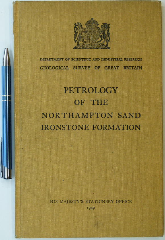
Taylor, J.H., (1949). Petrology of the Northampton Sand Ironstone Formation. Memoir of the Geological Survey. Geological Survey of England & Wales.
Taylor, R.B. (1964). Geology of the Duluth Gabbro Complex near Duluth, Minnesota. Minneapolis, Minnesota, 1st edition. Minnesota University Presss.
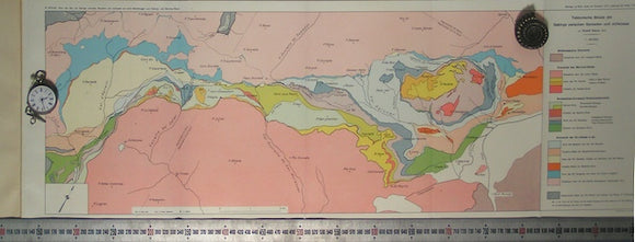
Tektonische Skizze der Gebirge zwischen Samaden und Julierpass. Staub, R, Swiss Geol Commission.