Free UK postage
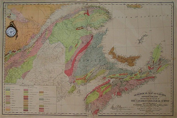
Geological Map of Canada and Newfoundland sheet 2. Dawson et al.
Geological map of England and Wales, 1870. Bacon.
Geological Map of Kiangsu, [Jiangsu] 1927. Cc Liu.
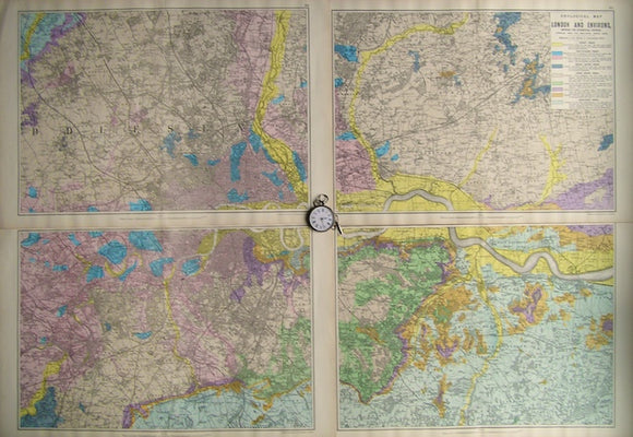
Geological Map of London and Environs, showing the Superficial Deposits,1890. Bacon.
Geological Map of Part of [south] France, 1869, Plate 3, from Mines and Miners; or, Underground Life by L. Simonin
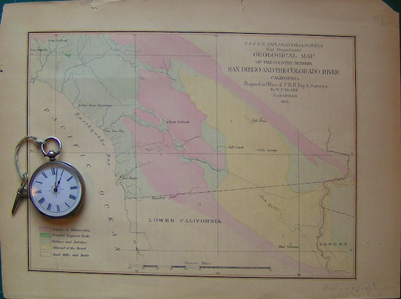
Geological Map of the country between San Diego and the Colorado River. California.
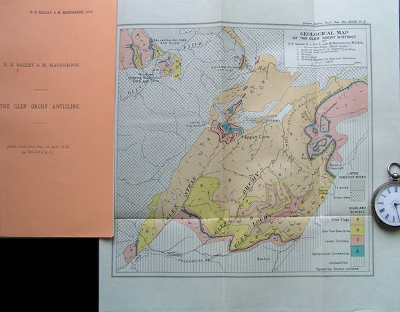
Geological Map of the Glen Orchy District, 1912. Bailey,EB & MacGregor, M, QJGS.
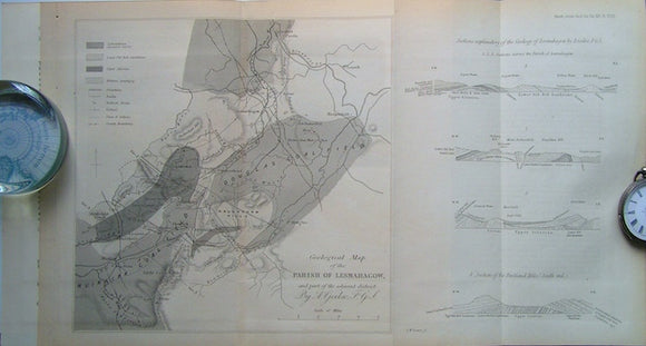
Geological Map of the Parish of Lesmahagow and part of the Adjacent District, 1860. Geikie, A, QJGS.
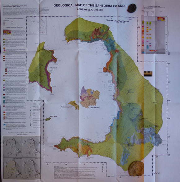
Geological Map of the Santorini Islands, 1999. Santorini.
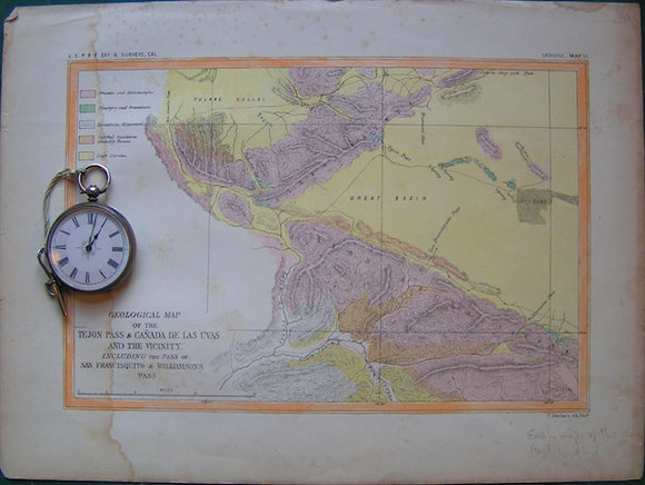
Geological Map of the Tejon Pas and Ca?ada de las Uvas and Vicinity. California.
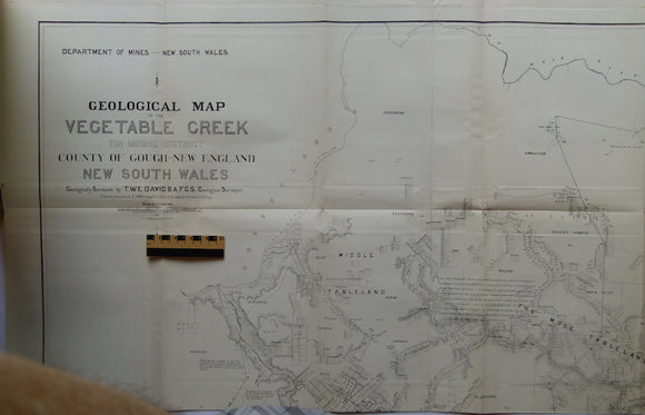
Geological Map of the Vegetable Creek Tin Mining Field, Gough County, New England District, New South Wales 1885. David, TW Edgeworth.
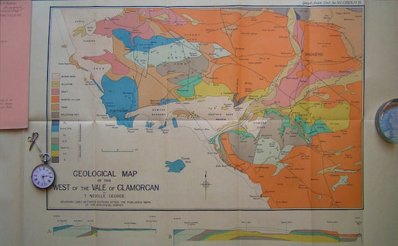
Geological Map of the West of the Vale of Glamorgan,1933. George, Neville QJGS.
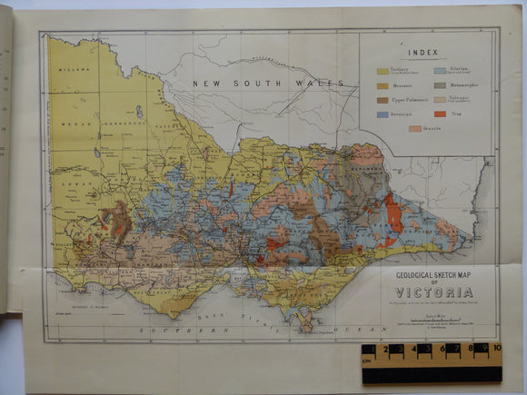
Geological Map of Victoria. (1909). Victoria Geological Survey Branch, Dept of Mines, 1: 1,013,760 scale. 63 x 88 cm. Linen-backed colour print. Victoria Ministry of Mines.
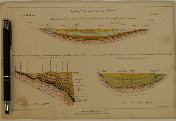
Geological Sections in France; Coal Mines, 1869, Plate 11, from Mines and Miners; or, Underground Life by L. Simonin
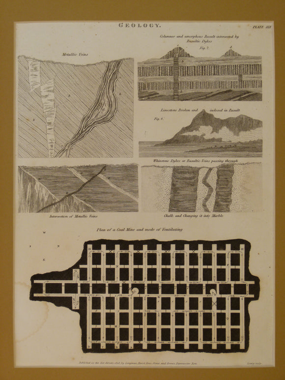
Geological sections. 1818. Engraving by JW Lowry as plate IIII (4) of The Cyclopaedia: or, Universal dictionary of arts, sciences, and literature
Geological Sketch Map of Victoria, 1895. Murray, Reginald AF.
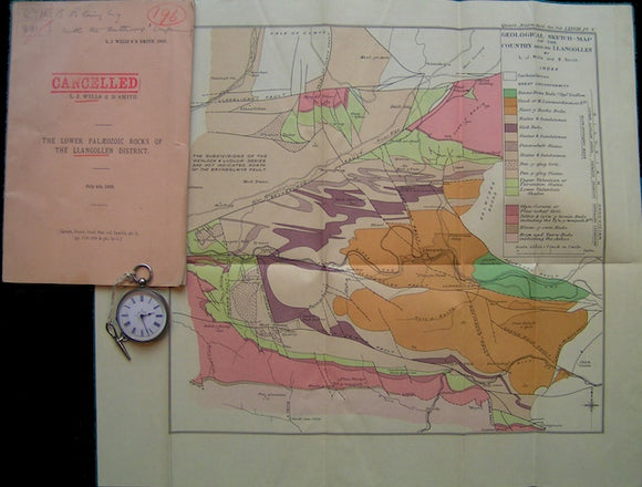
Geological Sketch-Map of the Country around Llangollen, 1922. Wills, LJ & Smith, B. QJGS.
Geological Sketches. Agassiz, L.
Geological Survey of E&W (1910). Catalogue of Photographs of Geological Subjects (Series A, 1-800). London: HMSO. 35pp. HB,. British Geological Survey.
Geological Survey of Scotland (1910). Catalogue of Photographs of Geological Subjects (Series B, Whole Plates, 1-676 and Series C, 1-1237, Half Plates). Edinburgh: HMSO. British Geological Survey.
Geologische Karte der Lackenkoglzone und des Quarzphylli-tsudrahmens zwischen Enns-und Taurachtal (Nordliche Radstadter Taurern, 1979
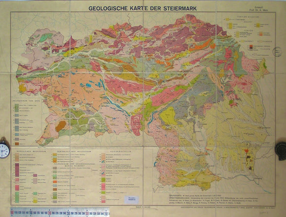
Geologische karte der Steiermark, 1957
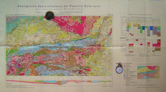
Geologische Ubersichtskarte der Republik Osterreich mit tektonischer Gliederung, 1964
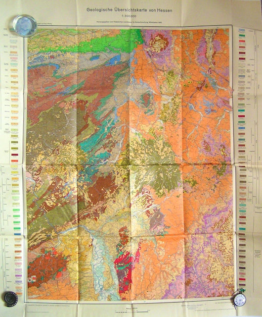
Geologische Ubersichtskarte von Hessen, 1960. Hesse Soil Survey.


![Geological Map of Kiangsu, [Jiangsu] 1927.](http://geolmaps.com/cdn/shop/products/ch2-Kiangsu_{width}x.jpg?v=1522954305)
![Geological Map of Kiangsu, [Jiangsu] 1927.](http://geolmaps.com/cdn/shop/products/ch2-Kiangsu_580x.jpg?v=1522954305)

![Geological Map of Part of [south] France, 1869, Plate 3, from Mines and Miners; or, Underground Life by L. Simonin](http://geolmaps.com/cdn/shop/products/P1080644_{width}x.JPG?v=1551269994)
![Geological Map of Part of [south] France, 1869, Plate 3, from Mines and Miners; or, Underground Life by L. Simonin](http://geolmaps.com/cdn/shop/products/P1080644_580x.JPG?v=1551269994)