Free UK postage
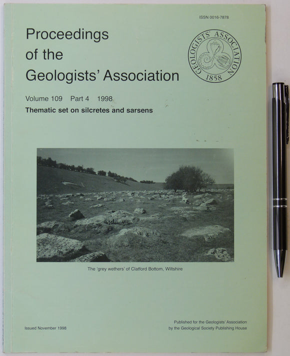
Geologists’ Assoc. (1998). ‘Thematic set on Silcretes and Sarsens, in Proceedings of the Geologists’ Association, v.109,. Geologists' Association.
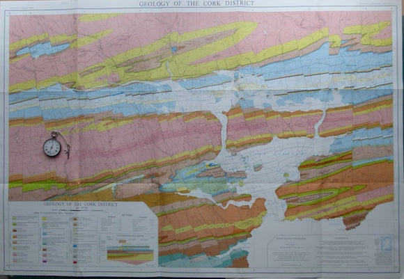
Geology of the Cork District,, 1988, by AJ MacCarthy. Scale 1:40,000. Colour print,. University College, Cork.
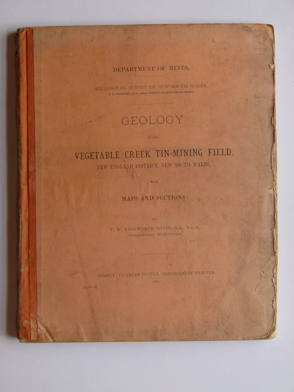
Geology of the Vegetable Creek Tin-Mining Field, New England District, New South Wales with Maps and Sections, 1887. David, TW Edgeworth.
George, T. Neville, (1932). ‘The Quaternary Beaches of Gower [S. Wales]’ offprint from the Proceedings of the Geologists Association. v.63,. Geologists' Association.
Gesner, A. (1845). ‘Geological Map of Nova Scotia’ accompanying Dawson, J.W. ‘On the Lower Carboniferous Rocks, . . . of Nova Scotia’ extract from QJGS. Geological Society of London.
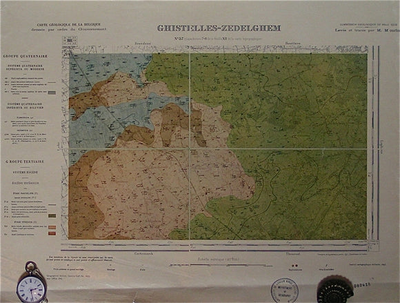
Ghistelles-Zedelghem, sheet 37. War Office (UK) GSGS 4325.
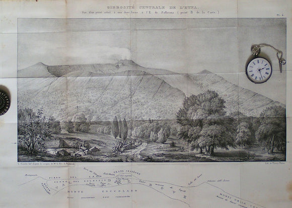
Gibbosité Centrale de L'Etna
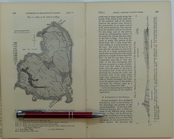
Giekie, Archibald, (1871), ‘Map of the Island of Eigg. b/w geological map, 1:63,360,. QJGS.
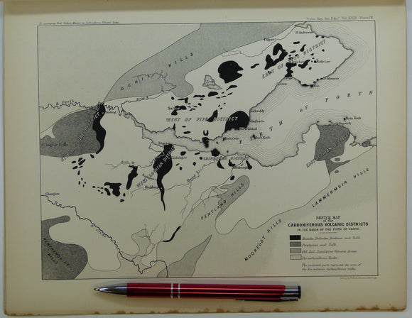
Giekie, Archibald, (1879), ‘On the Carboniferous Volcanic Rocks of the Basin of the Firth of Forth: their Structure in the Field. Royal Society of Edinburgh.
Gignoux, M. and Barbier, R. (1955). Géologie des Barrages et des Aménegements Hydrauliques. Paris, Masson, 339 + iii pp. Masson.
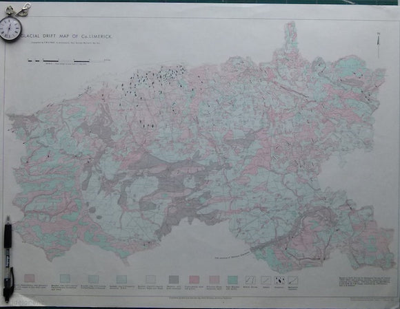
Glacial Drift Map of Co. Limerick Geology Map. 1966. Geological Survey of Ireland. Geological Survey of Ireland.
Glacial Drift Map of Co. Limerick,, 1966. Limerick.
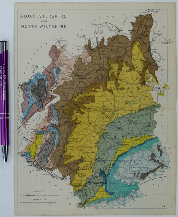
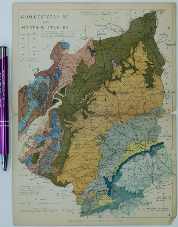
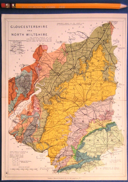
Gloucestershire and North Wiltshire (1864) counties geological map from Reynolds’s Geological Atlas of Great Britain, 1st. Reynolds.
Gloucestershire and North Wiltshire (1889) counties geological map from Reynolds’s Geological Atlas of Great Britain, 2nd. Reynolds.
Gloucestershire and North Wiltshire (1913) county geological map from Stanford’s Geological Atlas of Great Britain and Ireland,. Stanford's Atlas.
Gloucestershire, A Geological Map of Gloucestershire, 1819. Reproduction. Smith, William.
Godwin-Austen, R. (1855). On the Possible Extension of the Coal Measures beneath the South-Eastern part of England’, extract from the Q. Geological Society of London.
Goldring, R. (1971). Shallow Water Sedimentation as illustrated by the Upper Devonian Baggy Beds. No.5 Memoirs of the GSL. Geological Society of London.
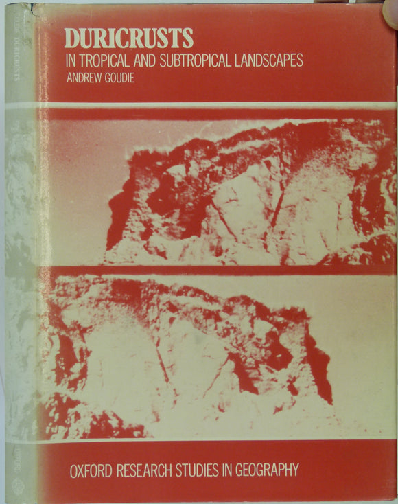
Goudie, Andrew. (1973). Duricrusts in Tropical and Subtropical Landscapes. Oxford, Clarendon Press, 1st edition. Clarendon Press.
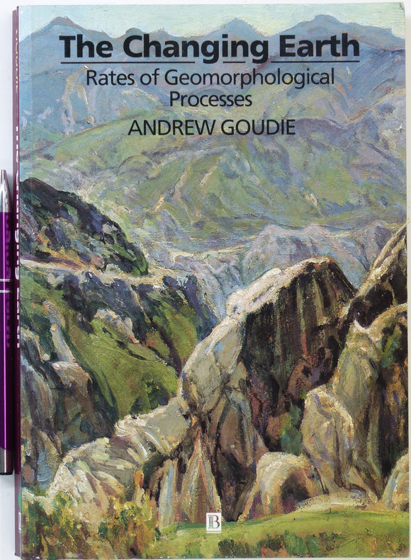
Goudie, Andrew. (1995). The Changing Earth; Rates of Geomorphological Process. Oxford: Blackwell. 1st edn. Blackwell.
Grapes, R.H. et al. (eds.)(2008). History of Geomorphology and Quaternary Geology. London: Geological Society Special. Geological Society of London.
Gray, J.M. (ed). (1988). Essex. PGA, v.99, pt.4, pp.249-341. Five papers on the geology of Essex. Geologists' Association.
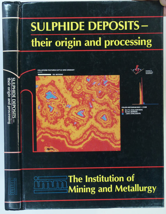
Gray, P.M.J. and Bowyer, G.J. et al (eds) (1990). Sulphide deposits―their origin and processing. London: Institution of Mining and Metallurgy, 310pp. 1st. Institute of Mining and Metallurgy.
Greece. (1954). Geological Map of Greece. Athens: Institute for Geology and Sub-surface Research. Two maps , north and south, are folded colou. Geology and Subsurface Research -Greece.


![George, T. Neville, (1932). ‘The Quaternary Beaches of Gower [S. Wales]’ offprint from the Proceedings of the Geologists Association. v.63,](http://geolmaps.com/cdn/shop/products/George-Gower_{width}x.jpg?v=1617721372)
![George, T. Neville, (1932). ‘The Quaternary Beaches of Gower [S. Wales]’ offprint from the Proceedings of the Geologists Association. v.63,](http://geolmaps.com/cdn/shop/products/George-Gower_580x.jpg?v=1617721372)