Free UK postage
Adam, William, (1973). Gem of the Peak (1851). Buxton: Moorland Reprints. 408pp. + 9pp introduction by Trevor D. Ford. Moorland Reprints.
Allen, P. (1959). ‘The Wealden Environment: Anglo-Paris Basin’, an offprint from the Philosophical Transactions. Royal Society.
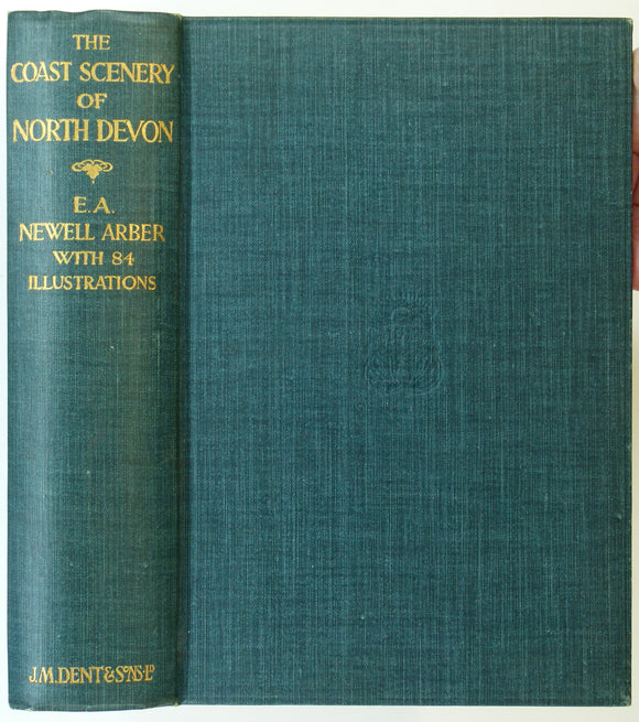
Arber, E.A. Newell, (1911). The Coast Scenery of North Devon; Being an Account of the Geological Features of the Coast-Line London: J.M. Dent. 262pp. JM Dent.
Arkell, W.J. (1937).’The Zonal Position of the Elsworth Rock and its Alleged Equivalent at Upware [Cambridgeshire]. Reprint. Geologists' Association.
Arkell, W.J. (1944). ‘Geology of the Miltons and Haseleys’, fold out colour map, and ‘Geology of Islip, Oxon.’ fold out b/w map. Geological Society of London.
Arkell, W.J. 1935. ‘The Ammonite Zones of the Upper Oxfordian of Oxford. Geological Society of London.
Arkell, W.J. 1936. ‘Three Problems of the Lulworth District. Geological Society of London.
Arkell, W.J. 1938. ‘The Ammonite Succession at the Woodham Brick Company’s Pit, Akeman Street Station, Buckinghamshire. Geological Society of London.
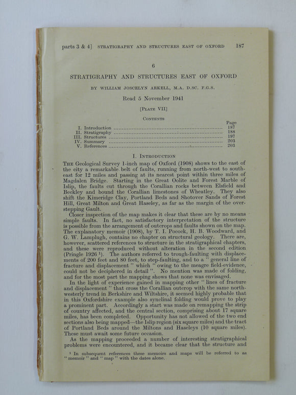
Arkell, W.J. 1941. ‘Stratigraphy and Structures East of Oxford’. Geological Society of London.
Arkell, W.J. and Douglas, J.A. 1931. ‘The Stratigraphical Distribution of the Cornbrash: [part] II. The North-Eastern. Geological Society of London.
Arnold-Bemrose, JP (1907). ‘ The Toadstones of Derbyshire: their Field-Relations and Petrography’, extract. Geological Society of London.
Barron, R.S. (1976). The Geology of Wiltshire; a Field Guide. Bradford-on-Avon: Moonraker Press, 1st edition. Moonraker Press.
Barton, DB, 1967. A History of Tin Mining and Smelting in Cornwall. Truro:. published by author.
Barton, R.M. (1964). An Introduction to the Geology of Cornwall. Truro: the Truro Bookshop, 1st edition 168 pp. Hardback,. self published.
Barton, RM, 1966. A History of the Cornish China-Clay Industry. Truro:. published by author.
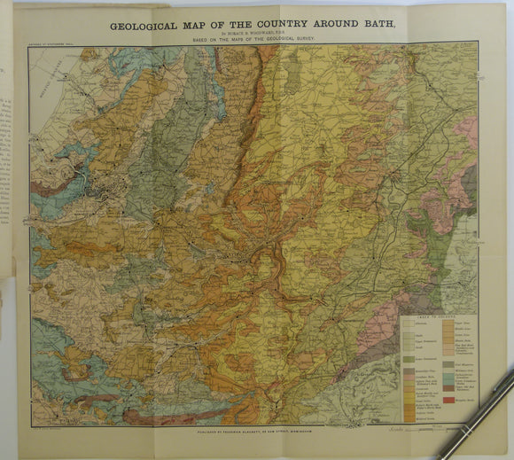
Bath. Geological Map of the Country Around Bath (c.1900.). Horace B Woodward. Folded, colour printed map 42 x 46cm, 1” = 2 miles,. Geologists' Association.
Beale,S. and Dodd, M. (eds) (2008). Exploring Lakeland Rocks and Landscapes. Kirby-in-Furness: Cumberland Geological Society, 1st ed. Cumberland Geological Society.
Bosworth, T.O., (1911). The Keuper Marls around Charnwood. Leicester Literary and Philosophical Society. 129pp. Leicester Literary and Philosophical Society.
Bristow, H.W. (1889). The Geology of the Isle of Wight, Memoir of the Geological Survey of England and Wales. London: HMSO. 2nd ed. British Geological Survey.
Broadhurst, Fred, (2003). Rocky Rambles in the Peak District: Geology Beneath Your Feet. Wilmslow: Sigma Leisure. 42pp. Sigma Leisure.
Brumhead, Derek (1979). Geology Explained in the Yorkshire Dales and on the Yorkshire Coast. David & Charles.
Chivers, Tom (2021). London Clay; Journeys in the Deep City. London: Doubleday, 449pp. Hardback. Doubleday.
Close, Charles (1932). The Map of England, or about England with an Ordnance Map. London: Peter Davies, 166pp. Hardback,. Peter Davies.
Cope, F. Wolverson (1976). Geology Explained in the Peak District. Newton Abbot: David & Charles. Third edition. David & Charles.


![Arkell, W.J. (1937).’The Zonal Position of the Elsworth Rock and its Alleged Equivalent at Upware [Cambridgeshire]. Reprint](http://geolmaps.com/cdn/shop/files/SEEngl_80_Arkellupware_{width}x.jpg?v=1725017705)
![Arkell, W.J. (1937).’The Zonal Position of the Elsworth Rock and its Alleged Equivalent at Upware [Cambridgeshire]. Reprint](http://geolmaps.com/cdn/shop/files/SEEngl_80_Arkellupware_580x.jpg?v=1725017705)


![Arkell, W.J. and Douglas, J.A. 1931. ‘The Stratigraphical Distribution of the Cornbrash: [part] II. The North-Eastern](http://geolmaps.com/cdn/shop/products/Arkel6_{width}x.jpg?v=1584900789)
![Arkell, W.J. and Douglas, J.A. 1931. ‘The Stratigraphical Distribution of the Cornbrash: [part] II. The North-Eastern](http://geolmaps.com/cdn/shop/products/Arkel6_580x.jpg?v=1584900789)