Free UK postage
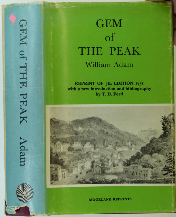
Adam, William, (1973). Gem of the Peak (1851). Buxton: Moorland Reprints. 408pp. + 9pp introduction by Trevor D. Ford. Moorland Reprints.
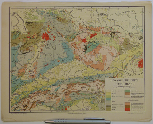
Anon 1902-08. ‘Geologische Karte von Deutschland’ colour printed map (24 x 30cm) at 1:3,750,000 scale from Myers-Konversations Lexicon
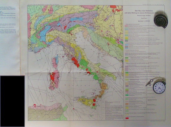
Apennine Mountains - Der Bau des Appenins. Staub, R.
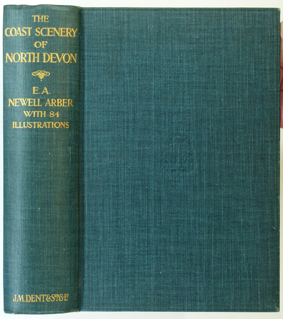
Arber, E.A. Newell, (1911). The Coast Scenery of North Devon; Being an Account of the Geological Features of the Coast-Line London: J.M. Dent. 262pp. JM Dent.
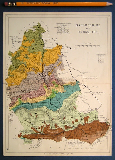
Arkell, W.J. (1944). ‘Geology of the Miltons and Haseleys’, fold out colour map, and ‘Geology of Islip, Oxon.’ fold out b/w map. Geological Society of London.
Arkell, W.J. 1931. ‘The Upper Great Oolite, Bradford Beds and Forest Marble of South Oxfordshire
Arkell, W.J. 1935. ‘On the Nature, Origin and Climatic Significance of the Coral Reefs in the Vicinity of Oxford’
Arkell, W.J. 1935. ‘The Ammonite Zones of the Upper Oxfordian of Oxford. Geological Society of London.
Arkell, W.J. 1936. ‘Three Problems of the Lulworth District. Geological Society of London.
Arkell, W.J. 1938. ‘The Ammonite Succession at the Woodham Brick Company’s Pit, Akeman Street Station, Buckinghamshire. Geological Society of London.
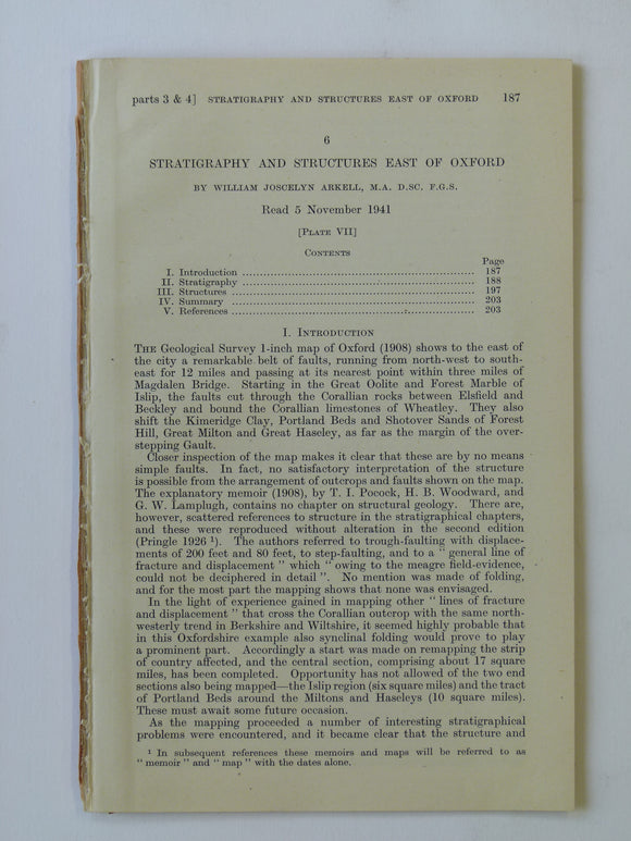
Arkell, W.J. 1941. ‘Stratigraphy and Structures East of Oxford’. Geological Society of London.
Arkell, W.J. 1947. Oxford Stone, first edition. London: Faber & Faber. 185 pp + 37 plates & 1 fold out b/w geological map
Arkell, W.J. 1947. The Geology of Oxford, first edition. Oxford: Clarendon Press. 267 pp. + 6 plates & 2 fold out b/w maps.
Arkell, W.J. and Douglas, J.A. 1931. ‘The Stratigraphical Distribution of the Cornbrash: [part] II. The North-Eastern. Geological Society of London.
Bakewell, Robert. 1838. An Introduction to Geology: intended to convey a practical knowledge of the Science. Longman et al.
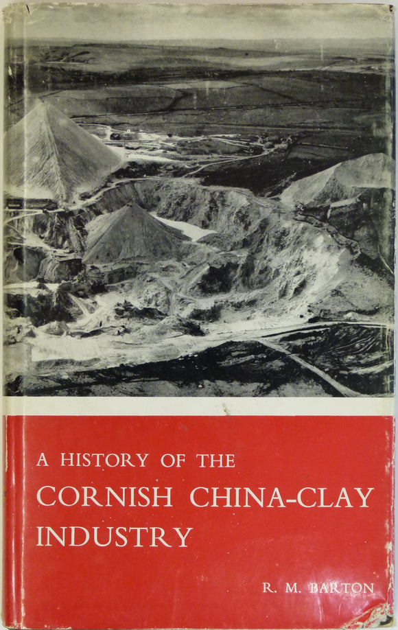
Barton, RM, 1966. A History of the Cornish China-Clay Industry. Truro:. published by author.
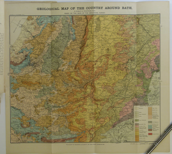
Bath. Geological Map of the Country Around Bath (c.1900.). Horace B Woodward. Folded, colour printed map 42 x 46cm, 1” = 2 miles,. Geologists' Association.
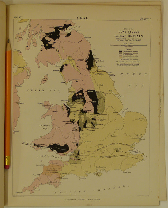
Bauermann, Hilary, 1875-89. ‘Coal’, extract from Encyclopedia Britannica, 9th edition. Pp.45-81 + 4 plates. Encyclopedia Britannica.
Bayfield, Captain, R.N. (1837). ‘Note on the Geology of the North Coast of the St. Lawrence [Canada]’. Geological Society of London.
Bedfordshire, Buckinghamshire, Hertfordshire and Middlesex (1913) counties geological map from Stanford’s Geological Atlas. Stanford's and Reynolds' Atlases.
Berghaus, Hermann, 1892. Atlas de Geologie; Berghaus Physikalischer Atlas, Abteilung 1. Gotha: Justus Perthes, 7pp+ 15 double page maps. First edition. Justus Perthes.
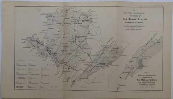
Blake, J.F. (1888). ‘Map of the Distribution of the Rocks of the Monian System and Associated Rocks in the Island of Anglesey’, b/w printed. Geological Society of London.
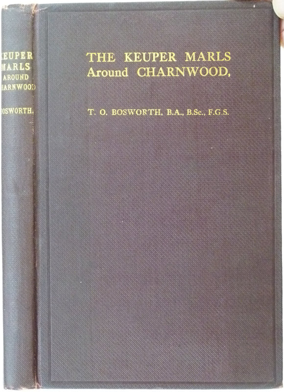
Bosworth, T.O., (1911). The Keuper Marls around Charnwood. Leicester Literary and Philosophical Society. 129pp. Leicester Literary and Philosophical Society.
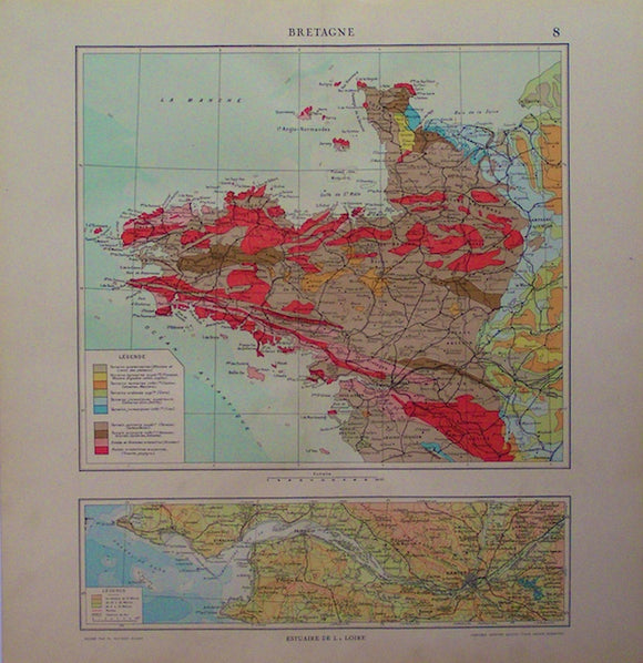
Bretagne, 1923. Librarie Aristide Quillet, 1923.


![Arkell, W.J. and Douglas, J.A. 1931. ‘The Stratigraphical Distribution of the Cornbrash: [part] II. The North-Eastern](http://geolmaps.com/cdn/shop/products/Arkel6_{width}x.jpg?v=1584900789)
![Arkell, W.J. and Douglas, J.A. 1931. ‘The Stratigraphical Distribution of the Cornbrash: [part] II. The North-Eastern](http://geolmaps.com/cdn/shop/products/Arkel6_580x.jpg?v=1584900789)


![Bayfield, Captain, R.N. (1837). ‘Note on the Geology of the North Coast of the St. Lawrence [Canada]’](http://geolmaps.com/cdn/shop/products/BayfieldTGSSt.Lawrence_1_{width}x.jpg?v=1614520659)
![Bayfield, Captain, R.N. (1837). ‘Note on the Geology of the North Coast of the St. Lawrence [Canada]’](http://geolmaps.com/cdn/shop/products/BayfieldTGSSt.Lawrence_1_580x.jpg?v=1614520659)