Free UK postage
Anon (1945) Spain and Portugal, v. IV, The Atlantic Islands. Geographical Handbook Series B.R. 502c (restricted), Naval Intelligence. HMSO.
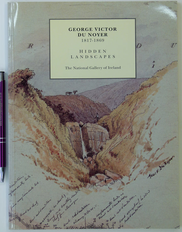
Anon. (1995). George Victor Du Noyer, 1817-1869: Hidden landscapes : an exhibition to celebrate the sesquicentennial of the Geological Survey of Ireland. Dublin: National Gallery. National Gallery of Ireland.
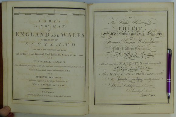
Cary, John (1794). Cary's New Map of England and Wales, with part of Scotland. London: J. Cary. 81 double page maps. 1st edition, first impression. John Cary.
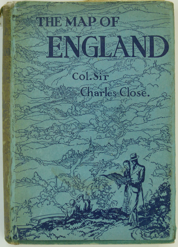
Close, Charles (1932). The Map of England, or about England with an Ordnance Map. London: Peter Davies, 166pp. Hardback,. Peter Davies.
Davies, J.Sanger (1896). Dolomite Strongholds; the Last Untrodden Alpine Peaks; an Account of the Ascents of the Croda da Lago, . . . George Bell and Sons.
Iran. Masjid-I-Sulaiman Road Map (1954). A.I.O.C. [Anglo-Iranian Oil Company] 1:21,120 scale. Folded linen-backed paper (65 x 100cm), 3 colour linework. NOT GEOLOGICAL. Anglo-Iranian Oil Co.
Kent. William Smith's Geological Map of Kent, 1819. REPRODUCTION. Smith, William.
Old Series Ordnance Survey [reproduced] Maps, Volume 3 (1981). South-central England (Hampshire and the Isle of Wight and. Harry Margary.
Old Series Ordnance Survey [reproduced] Maps, Volume 6 (1989). Wales (except for small parts of Flintshire, Radnorshire, and . Harry Margary.
Old Series Ordnance Survey [reproduced]Maps, Volume 8 (1992). Northern England and the Isle of Man (Cumberland, Durham, Isle of Man,. Harry Margary.
Southeast Asia. Indo-Chine, Carte de la Mission Pavie. (1921). Paris: Ministre des Affaires Etrangeres sous le direction de M.Pavie. NOT GEOLOGICAL. Folded, colour. French colonial.
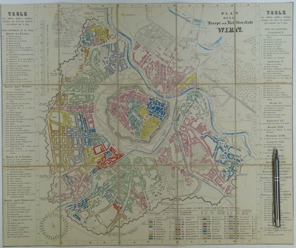
Vienna. Wien Plan der k.k. Haupt und Residenzstadt (c.1850-57). Scale approx1:17,000. Hand-coloured engraved town map 42.5 x 51cm. unknown.


![Iran. Masjid-I-Sulaiman Road Map (1954). A.I.O.C. [Anglo-Iranian Oil Company] 1:21,120 scale. Folded linen-backed paper (65 x 100cm), 3 colour linework. NOT GEOLOGICAL.](http://geolmaps.com/cdn/shop/files/Asia_13_Masjid_{width}x.jpg?v=1741886934)
![Iran. Masjid-I-Sulaiman Road Map (1954). A.I.O.C. [Anglo-Iranian Oil Company] 1:21,120 scale. Folded linen-backed paper (65 x 100cm), 3 colour linework. NOT GEOLOGICAL.](http://geolmaps.com/cdn/shop/files/Asia_13_Masjid_580x.jpg?v=1741886934)


![Old Series Ordnance Survey [reproduced] Maps, Volume 3 (1981). South-central England (Hampshire and the Isle of Wight and](http://geolmaps.com/cdn/shop/files/OldSeriesAtlasv3_1_{width}x.jpg?v=1710259664)
![Old Series Ordnance Survey [reproduced] Maps, Volume 3 (1981). South-central England (Hampshire and the Isle of Wight and](http://geolmaps.com/cdn/shop/files/OldSeriesAtlasv3_1_580x.jpg?v=1710259664)
![Old Series Ordnance Survey [reproduced] Maps, Volume 6 (1989). Wales (except for small parts of Flintshire, Radnorshire, and </em>](http://geolmaps.com/cdn/shop/files/OldSeriesAtlasv6_1_{width}x.jpg?v=1710259966)
![Old Series Ordnance Survey [reproduced] Maps, Volume 6 (1989). Wales (except for small parts of Flintshire, Radnorshire, and </em>](http://geolmaps.com/cdn/shop/files/OldSeriesAtlasv6_1_580x.jpg?v=1710259966)
![Old Series Ordnance Survey [reproduced]Maps, </em>Volume 8 (1992). Northern England and the Isle of Man (Cumberland, Durham, Isle of Man,](http://geolmaps.com/cdn/shop/files/OldSeriesAtlasv8_1_{width}x.jpg?v=1710260724)
![Old Series Ordnance Survey [reproduced]Maps, </em>Volume 8 (1992). Northern England and the Isle of Man (Cumberland, Durham, Isle of Man,](http://geolmaps.com/cdn/shop/files/OldSeriesAtlasv8_1_580x.jpg?v=1710260724)