Free UK postage
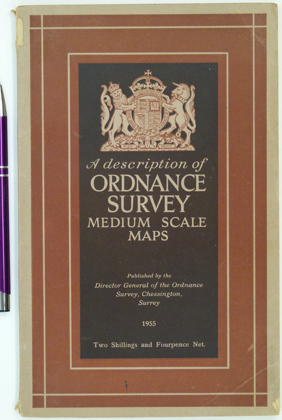
A Description of Ordnance Survey Medium Scale Maps (1955). Chessington, 20pp + 12 plates, 4 folding. Paperback. Refers to 1:25,000 and six-inch scales. Ordnance Survey.
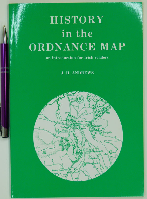
Andrews, JH (1993). History in the Ordnance Map; an introduction for Irish readers. Kerry: David Archer, 2nd edition,. David Archer.
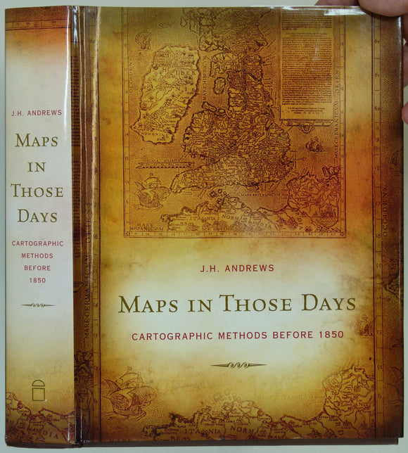
Andrews, JH (2009). Maps in Those Days; Cartographic Methods before 1850. Dublin: Four Courts Press, 549pp. Hardback. Four Courts Press.
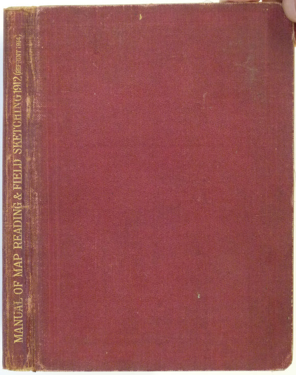
Anon (1914). Manual of Map Reading and Field Sketching, 1912. London: HMSO for General Staff-War Office. 101pp + 20 plates. War Office.
Anon (1945) Spain and Portugal, v. IV, The Atlantic Islands. Geographical Handbook Series B.R. 502c (restricted), Naval Intelligence. HMSO.
Anon. (1931). List of Memoirs, Maps, Sections, etc, Published by the Geological Survey of Great Britain. British Geological Survey.
Anon. (1931). List of Memoirs, Maps, Sections, etc, Published by the Geological Survey of Great Britain and the Museum of Practical Geology to 31st December, 1930 . London: HMSO,. British Geological Survey.
Anon. (1996). Geological Society: List of Fellows and Associates. London: Geological Society of London. 128pp. Paperback, A4 format,. Geological Society of London.
Arkell, W.J. and Tomkeieff, S.L. (1973). English Rock Terms, Chiefly as Used by Miners and Quarrymen. London: Oxford University Press. Oxford University Press.
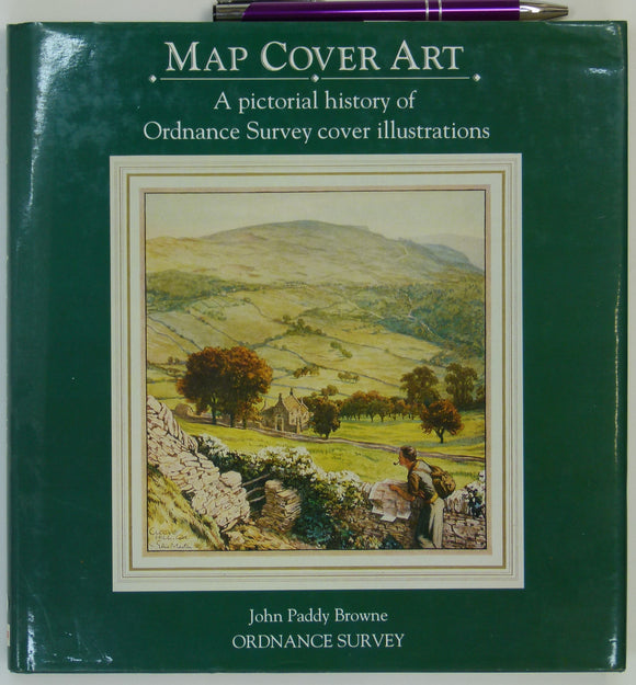
Browne, John Paddy (1991). Map Cover Art; A pictorial history of Ordnance Survey cover illustrations. Southampton: Ordnance Survey, 144p. Ordnance Survey.
Challinor, John (1971).The History of British Geology; a Bibliographical Study. Newton Abbott: David & Charles, 224pp. (1st edition). David & Charles.
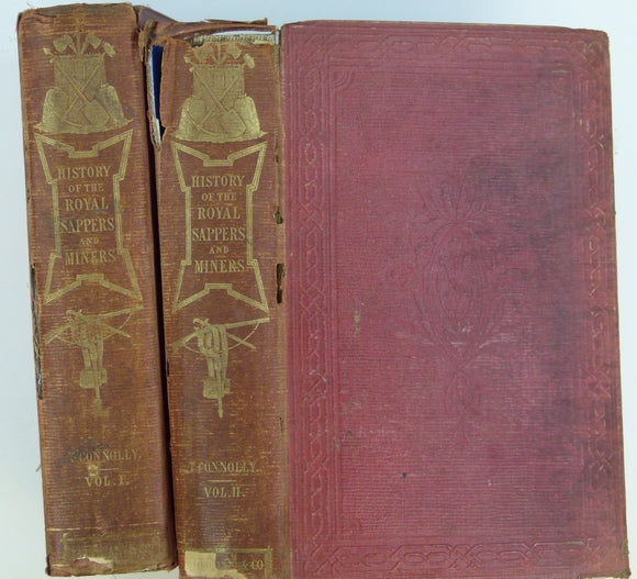
Connolly, T.W.J. (1857). History of the Royal Sappers and Miners, from the formation of the Corps in March 1772, . Longman et al.
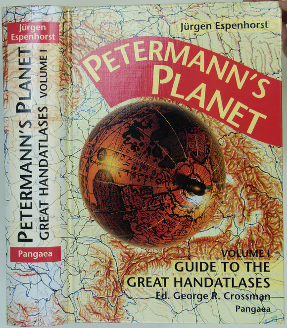
Espenhorst, Jürgen (2003). Petermann’s Planet; a Guide to German Handatlases and Their Siblings Throughout the World, 1800-1950. Vol.1, . Pangea Verlag.
Flett, John (1937). The First Hundred Years of the Geological Survey of Great Britain. London: HMSO. 1st edition. HMSO.
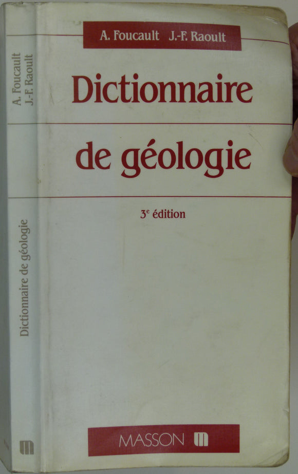
Foucault, Alain (1988). Dictionnaire de Géologie. Paris: Masson, 352pp. 3rd edition. Paperback,. Masson.
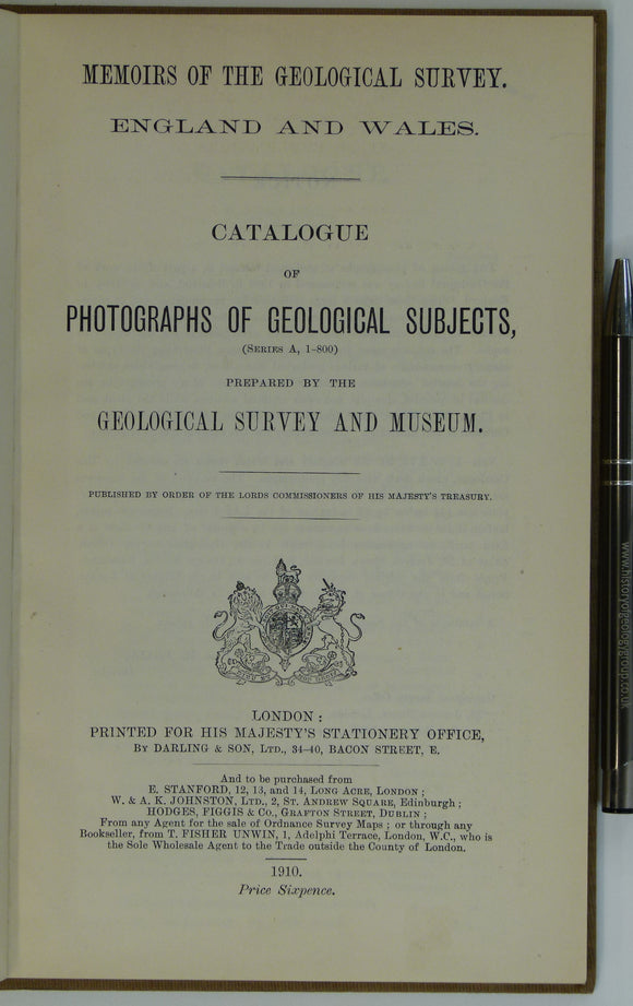
Geological Survey of E&W (1910). Catalogue of Photographs of Geological Subjects (Series A, 1-800). London: HMSO. 35pp. HB,. British Geological Survey.
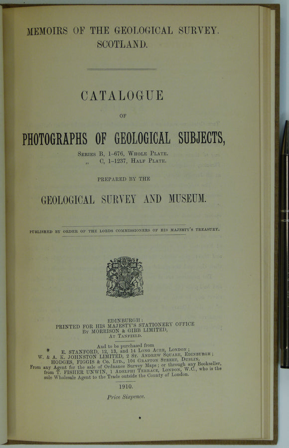
Geological Survey of Scotland (1910). Catalogue of Photographs of Geological Subjects (Series B, Whole Plates, 1-676 and Series C, 1-1237, Half Plates). Edinburgh: HMSO. British Geological Survey.
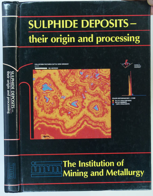
Gray, P.M.J. and Bowyer, G.J. et al (eds) (1990). Sulphide deposits―their origin and processing. London: Institution of Mining and Metallurgy, 310pp. 1st. Institute of Mining and Metallurgy.
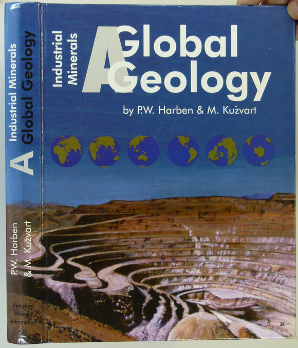
Harben, Peter W.; Kuzvart, Milos (1996). Industrial Minerals: A Global Geology. London: Metal Bulletin, 492pp. 1st edition. Hardback. Metal Bulletin.
Harris, A.L. et al. (1979). The Caledonides of the British Isles – Reviewed. Edinburgh: Scottish Academic Press. Scottish Academic Press.
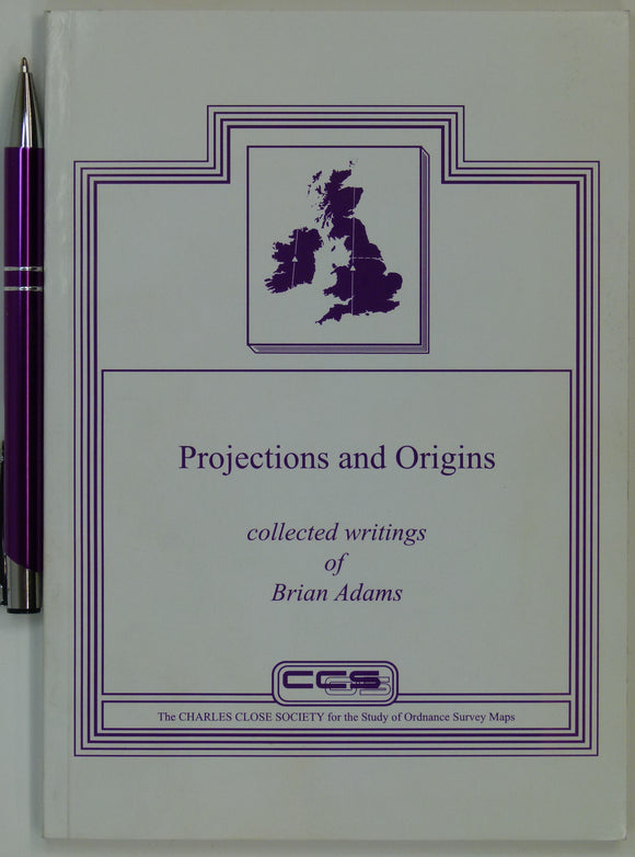
Hellyer, R. and Higley, C. (2006). Projections and Origins; collected writings of Brian Adams. London: Charles Close Society,. Charles Close Society.
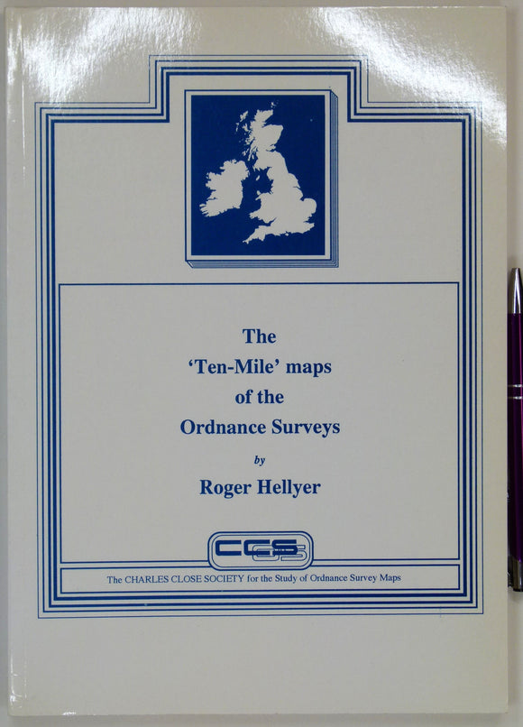
Hellyer, Roger (1992). The ‘Ten-Mile’ maps of the Ordnance Surveys. London: Charles Close Society, 2002pp. Charles Close Society.
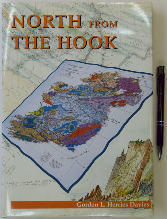
Herries Davies, Gordon L . (1995). North from the Hook: 150 years of the Geological Survey of Ireland. Dublin: Geological Survey of Ireland. 342pp. Hardback. Geological Survey of Ireland.
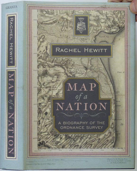
Hewitt, Rachel (2010). Map of a Nation; a Biography of the Ordnance Survey. London: Granta, 1st edition, 436pp. Granta.