Free UK postage
Arthur, TJ, Macgregor, DS and Cameron, NR. (2003). Petroleum Geology of Africa; New Themes and Developing Technologies, Geological Society Special Publication 207. Geological Society of London.
Ecuador (1969). Mapa Geologico de la Republica del Ecuador. Servicio Nacional de Geologia y Mineria. Two joined colour lithographed sheets. Servicio Nacional de Geologia.
India and Bangladesh. Pascoe, E.H. (1914). ‘The Petroleum Occurrences of Assam and Bengal’, comprising all of volume of 40 of Memoirs of the Geological Survey of India. Geological Survey of India.
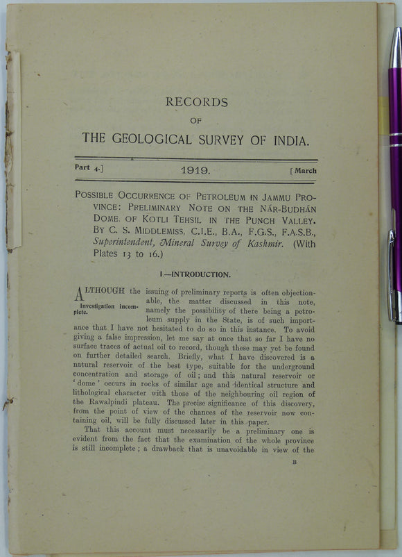
Kashmir. Middlemiss, C.S. (1919). Possible Occurrence of Petroleum in Jammu Province: Preliminary Note on the Nar-Budhan Dome of Kotli Tehsil in the Punch Valley’,. Geological Survey of India.
Kent, Peter et al (organisers) (1980). The Evolution of Passive Continental Margins in the Light of Recent Deep Drilling Results. London: Royal Society, 1st. Royal Society.
Knill, J.L. (ed.)(1978) Industrial Geology. Oxford University Press, 1st edition 344 + xi pp. Hardback,. Oxford University Press.
Mexico. Muir, John M. (1936). Geology of the Tampico Region Mexico. Tulsa: American Association of Petroleum Geologists. xix + 280pp + 5 folded maps. American Association of Petroleum Geologists.
Myanmar. Cotter, G. deP. (1910). ‘The Northern Part of the Yenangyat Oil-Field’, extract of The Records of the Geological Survey of India,. Geological Survey of India.
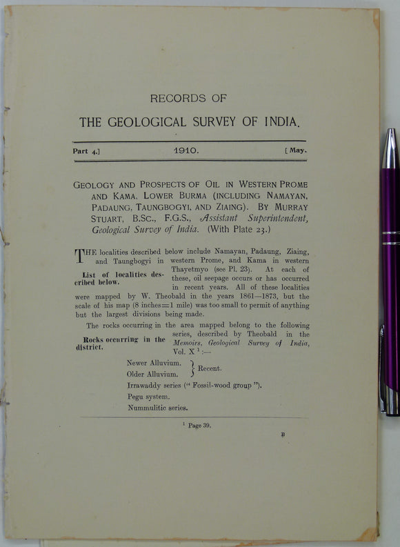
Myanmar. Stuart, M. (1910). ‘Geology and Prospects of Oil in Western Prome and Kama, Lower Burma (including Namayan, Padaung, Taungbogyi, and Ziaing)’. Geological Survey of India.
Parnell, J. (ed) (1992). Basins, on the Atlantic Seaboard: Petroleum Geology, Sedimentology and Basin Evolution, Geological Society Special Publication No.62. Geological Society of London.
Paton, Angus et al (organisers) (1978). Sea Floor Development: Moving into Deep Water. London: the Royal Society, 1st edition,. Royal Society.
Trinidad (1961). Geological map of Trinidad. Petroleum Association of Trinidad. 1:100,000 scale, 92 x 117cm folding to 92 x 58.5 cm. Colour lithograph
Trinidad. Map showing the Oilfields in the Island of Trinidad, B.W.I. (c.1930s). Unpublished dye-line map at 1:126,720 scale. self published.