Free UK postage
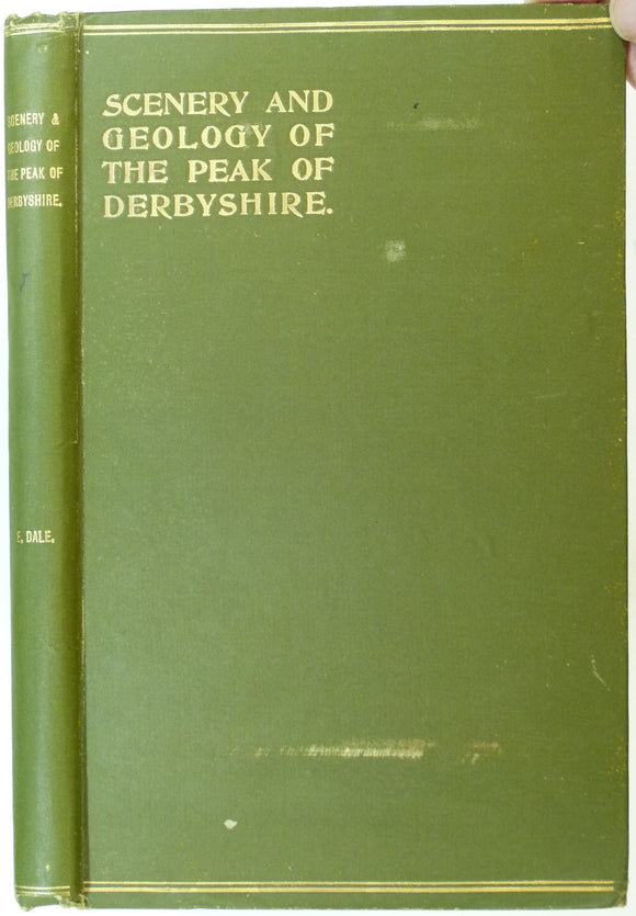
Dale, Elizabeth (1900). The Scenery and Geology of the Peak District. London: Sampson Low et al. 176pp. First edition. HB. Sampson Low.
Darby, H.C. (ed) (1938). The Cambridge Region. Cambridge University Press. 234pp. HB,. Cambridge University Press.
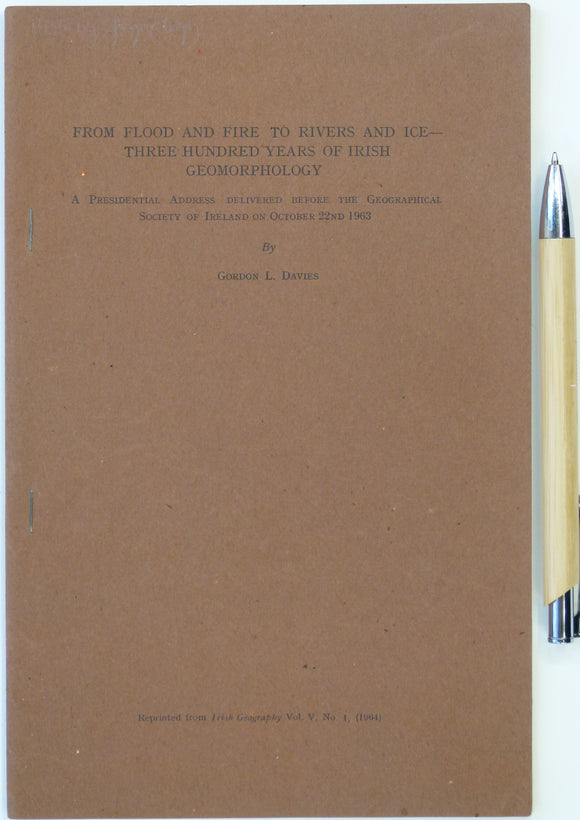
Davies, Gordon L. (1964). ‘From Flood and Fire to Rivers and Ice – Three Hundred Years of Irish Geomorphology’, Reprint from Irish Geography,. Irish Geography.
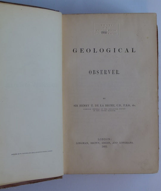
De la Beche (1851). The Geological Observer, Longmans. Longman et al.
Delisse, M. 1880. ‘[Carte] Agronomie du Département de Seine-et-Marne. Colour printed fold out maps (34 x 40.5cm) at 1:500,000
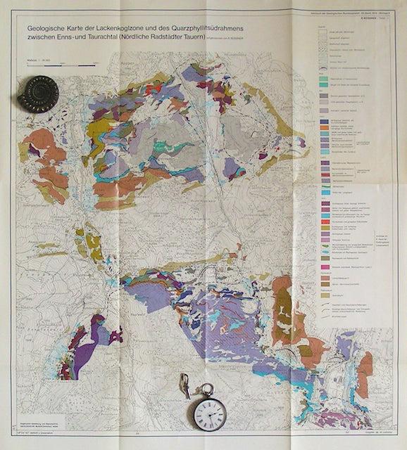
Deynhausen, v. and v. Dechen, (1825). ‘ [geognostische karte] Der Bleijberg Commern und seine Umbegung’. Hand-coloured engraving. Archiv fur Bergbau.
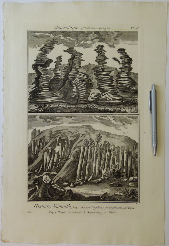
Diderot & d’Alembert (1768) ‘Mineralogy, 4th collection. Mountains, plate 2 (p.136) from Encylopedie, v23. Copperplate engraving
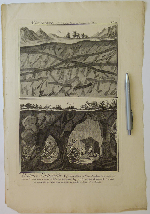
Diderot & d’Alembert (1768) ‘Mineralogy, 7th collection. Veins and Works in Mines, plate 2 (p.157) from Encylopedie, v23. Copperplate engraving
Die Ostalpen und ihr Vorland in der letzten Eiszeit (Wurm), 1987
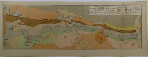
Dixey, Frank, et al. (1917). Two maps – of the Carboniferous Limestone Series between the Ewenny Valley and Ebbw Valley’,. Geological Society of London.
Dodd, Mervyn (ed). Lakeland Rocks and Landscape; a field guide, 1992. Cumberland Geological Society. Cumberland Geological Society.
Dreghorn, William, 1967. Geology Explained in the Severn Vale and Cotswolds. Newton Abbot: David & Charles. 192pp. First edition. David & Charles.
Dreghorn, William, 1968. Geology Explained in the Forest of Dean and the Wye Valley. Newton Abbot: David & Charles. 196pp. David & Charles.
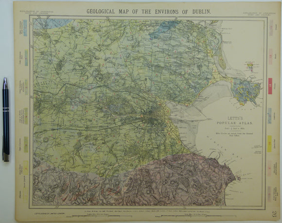
Dublin and environs, 1882. Letts.
Duff, K.L et al (eds), (n.d.). New Sites for Old: a Student’s Guide to the Geology of the East Mendips. Nature Conservancy Council. Geologists' Association.
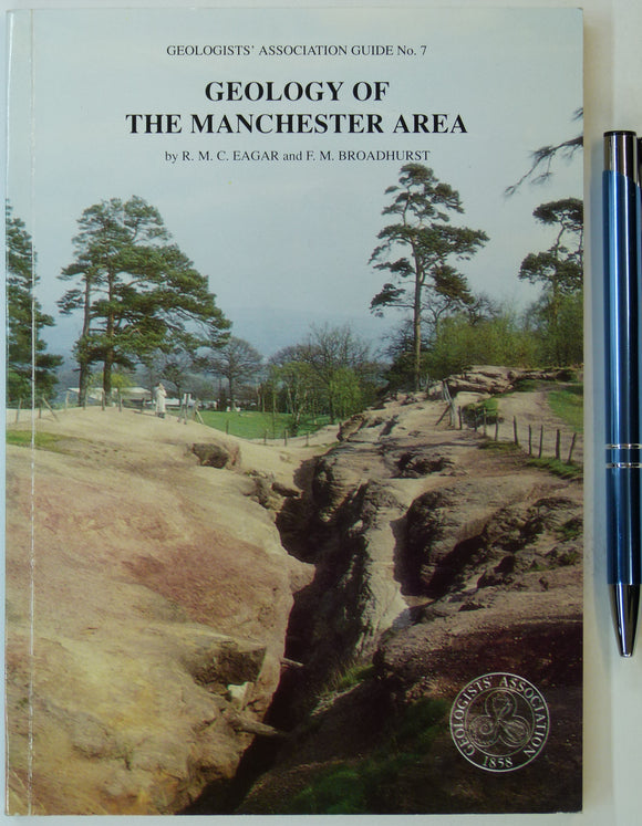
Eager, R.M.C. and Broadhurst, F.M. et al (1991). Geology of the Manchester Region. GA Guide No.7. London: Geologists’ Association. Geologists' Association.
Eiby, G.A. (1967). Earthquakes. London: Frederick Muller. 207pp. Second revised and expanded edition. HB,. Frederick Muller.
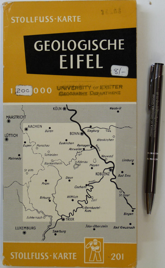
Eifel. Geologische Ubersichtskarte der Eifel und ihrer Umrandung (n.d.). Bonn: Wilhelm Stollfuss Verlag. Colour printed map 1:200,000,. Wilhlem Stollfuss Verlag.
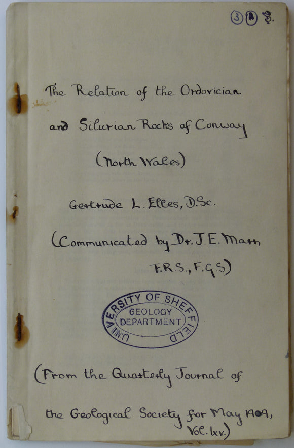
Elles, G.L. (1909). Geological Map of Conway’, fold out b/w printed map, 1:21,120 scale (3”=1 mile),. Geological Society of London.
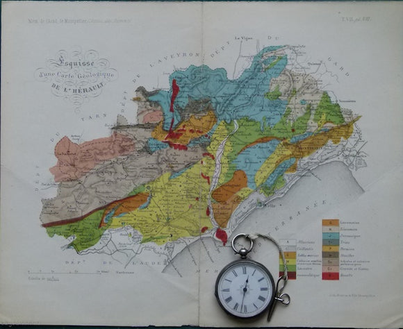
Esquisse d'une carte géologique de l'Hérault, 1876. 1876.
Faujas St.-Fond, B. (1907). A Journey through England and Scotland to the Hebrides in 1794, 1907. Hugh Hopkins.
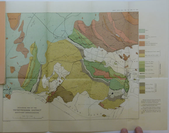
Fearnsides, W.G. (1910). Geological Map of the Ynyscyhaiarn District, South-East Carnarvonshire’, fold out colour printed map. Geological Society of London.
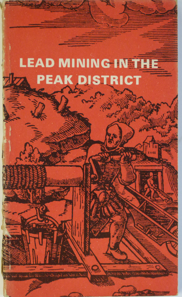
Ford, Trevor and Rieuwerts, JH (eds), 1970. Lead Mining in the Peak District. Bakewell: Peak Planning Board. Peak Planning Board.
Ford, Trevor D. (2002). Rocks and Scenery of the Peak District. Ashbourne: Landmark Publishing. 96pp. First edition. Landmark Publishing.


![Delisse, M. 1880. ‘[Carte] Agronomie du Département de Seine-et-Marne. Colour printed fold out maps (34 x 40.5cm) at 1:500,000](http://geolmaps.com/cdn/shop/products/Seine_Marne_1_{width}x.JPG?v=1547929159)
![Delisse, M. 1880. ‘[Carte] Agronomie du Département de Seine-et-Marne. Colour printed fold out maps (34 x 40.5cm) at 1:500,000](http://geolmaps.com/cdn/shop/products/Seine_Marne_1_580x.JPG?v=1547929159)
![Deynhausen, v. and v. Dechen, (1825). ‘ [geognostische karte] Der Bleijberg Commern und seine Umbegung’. Hand-coloured engraving](http://geolmaps.com/cdn/shop/products/German_13_Bleijberg_{width}x.jpg?v=1662814219)
![Deynhausen, v. and v. Dechen, (1825). ‘ [geognostische karte] Der Bleijberg Commern und seine Umbegung’. Hand-coloured engraving](http://geolmaps.com/cdn/shop/products/German_13_Bleijberg_580x.jpg?v=1662814219)