Free UK postage
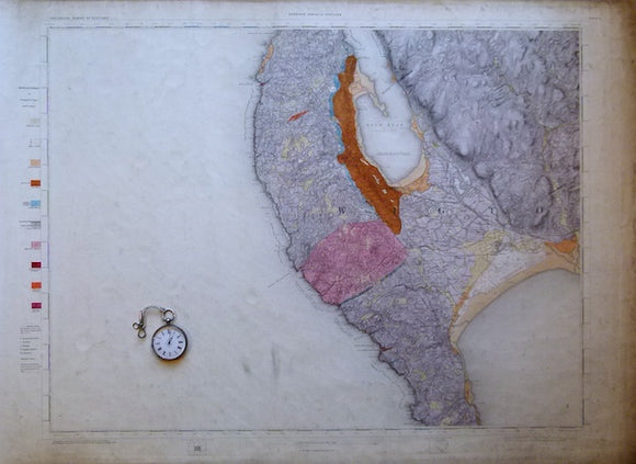
Ireland sheet 189, untitled – Mine Head [land], 1” scale. 1879. 85% sea. Hand-coloured. Geological Survey of Ireland.
Ireland sheet 190, Bolus Head, 1” scale. 1881. 85% sea. Hand-coloured. Geological Survey of Ireland.
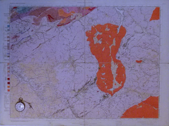
Ireland sheet 191, Kenmare River [sea inlet], 1” scale. 1881. 30% sea. Hand-coloured. Geological Survey of Ireland.
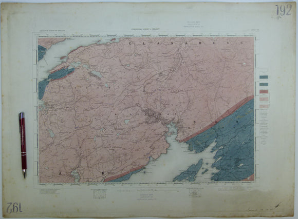
Ireland sheet 192, Glengarrif, 1” scale. 1858. First edition. Base map not dated. Hand-coloured. Geological Survey of Ireland.
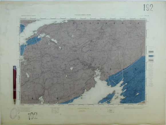
Ireland sheet 192, Glengarrif, 1” scale. 1891. Base map not dated. Coloured 1904. Hand-coloured. Geological Survey of Ireland.
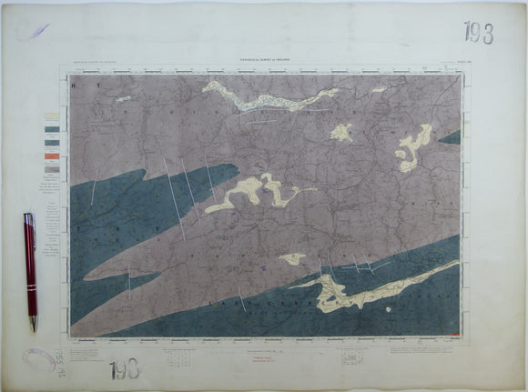
Ireland sheet 193, Dunmanway, 1” scale. 1879. Base map not dated. Coloured 1908. Hand-coloured. Geological Survey of Ireland.
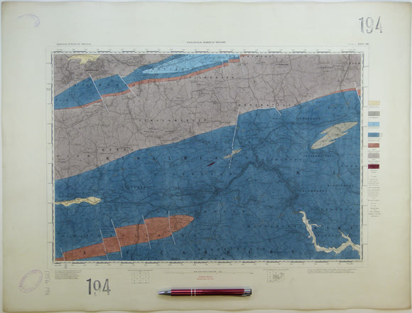
Ireland sheet 194, Bandon, 1” scale. 1891. Base map not dated. Coloured 1904. Hand-coloured. Geological Survey of Ireland.
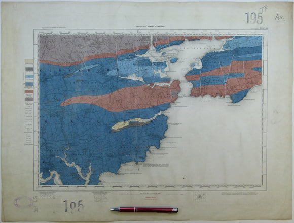
Ireland sheet 195, Ballycottin, 1” scale. 1879. Base map not dated. Coloured 1908. 90% sea. Hand-coloured. Geological Survey of Ireland.
Ireland sheet 195, Queenstown, 1” scale. 1891. Includes Cork Harbour. Hand-coloured. Geological Survey of Ireland.
Ireland sheet 197, Dursey Head, 1” scale. 1881. Base map not dated. Coloured 1906. 98% sea. Hand-coloured
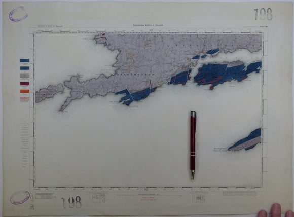
Ireland sheet 198, Castletown Bearhaven, 1” scale. 1881. 55% sea. Hand-coloured. Geological Survey of Ireland.
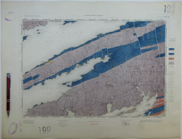
Ireland sheet 199, Bantry Bay, 1” scale. 1881. Includes Dunmanus Bay, Skull Harbour. Hand-coloured. Geological Survey of Ireland.
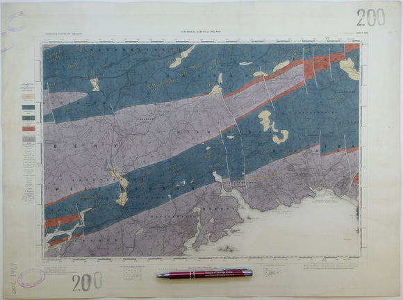
Ireland sheet 200, Skibbereen, 1” scale. 1881. Includes Glandore Bay, Ross Carbery. Hand-coloured. Geological Survey of Ireland.
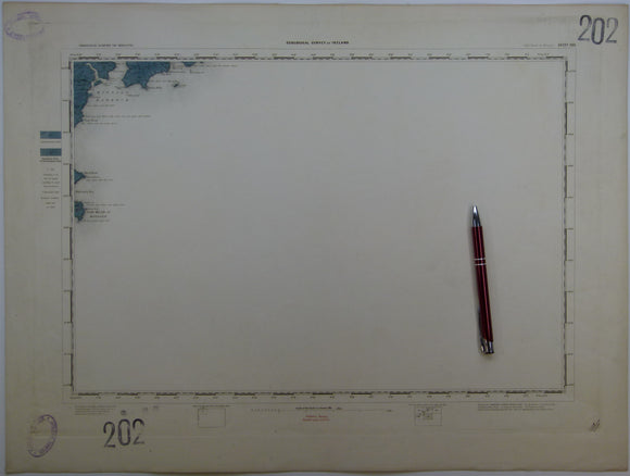
Ireland sheet 202, Old Head of Kinsale, 1” scale. 1857. First edition. Base map not dated. 95% sea. Hand-coloured. Geological Survey of Ireland.
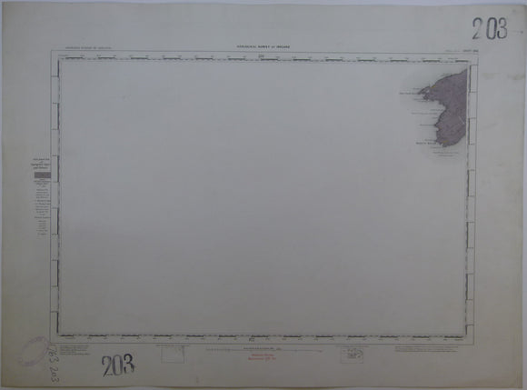
Ireland sheet 203, Mizen Head, 1” scale. 1881. Base map not dated. Coloured 1905. 95% sea. Hand-coloured. Geological Survey of Ireland.
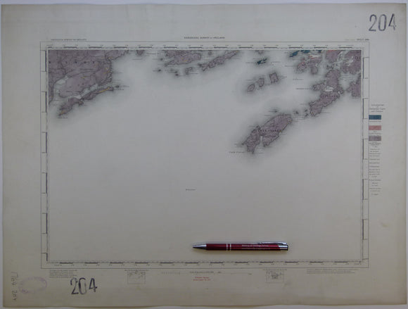
Ireland sheet 204, Cape Clear, 1” scale. 1881. Base map not dated. Coloured 1904. 80% sea. Hand-coloured. Geological Survey of Ireland.
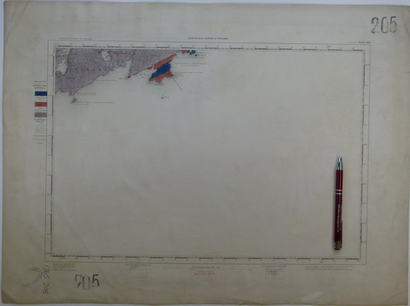
Ireland sheet 205, Toe Head, 1” scale. 1881. Base map not dated. Coloured 1907. 90% sea. Hand-coloured. Geological Survey of Ireland.
Sheet 1, 1". Mull of Galloway, 1923, S, G. Flat with lines of old folds. Geological Survey of Scotland.
Sheet 3, 1". Stranraer, 1871, 1st edition. 21.25"x29" flat linen-packed paper. Geological Survey of Scotland.
Sheet 3, 1". Stranraer, 1923, S, G. Flat with lines of old folds. Geological Survey of Scotland.
Sheet 6, 1". Annan, 1879, 1st edition. 21.25"x29" flat linen-packed paper. Geological Survey of Scotland.
Sheet 8, 1". Barr, 1893, 1st edition, issued 1894. Geological Survey of Scotland.
Sheet 8, 1". Carrick, 1933, S, G. Flat with lines of old folds. Geological Survey of Scotland.
Sheet 9, 1". Thornhill, 1874, 1st edition, issued 1888, 22"x30.75" flat cartridge paper, with linen-taped edge, tears…. Geological Survey of Scotland.
![Ireland sheet 189, untitled – Mine Head [land], 1” scale. 1879. 85% sea. Hand-coloured](http://geolmaps.com/cdn/shop/products/Ireland189_1_{width}x.jpg?v=1610129677)
![Ireland sheet 189, untitled – Mine Head [land], 1” scale. 1879. 85% sea. Hand-coloured](http://geolmaps.com/cdn/shop/products/Ireland189_1_580x.jpg?v=1610129677)


![Ireland sheet 191, Kenmare River [sea inlet], 1” scale. 1881. 30% sea. Hand-coloured](http://geolmaps.com/cdn/shop/products/Ireland191_1_{width}x.jpg?v=1610129879)
![Ireland sheet 191, Kenmare River [sea inlet], 1” scale. 1881. 30% sea. Hand-coloured](http://geolmaps.com/cdn/shop/products/Ireland191_1_580x.jpg?v=1610129879)