Free UK postage
Ireland sheet 160, Brandon Head, 1” scale. 1859, first edition. Base map not dated. 80% Atlantic Ocean. Hand-coloured. Geological Survey of Ireland.
Ireland sheet 162, Tralee, 1” scale. 1883. Includes CastleIsland, Clannaruddery Mountains. Hand-coloured. Geological Survey of Ireland.
Ireland sheet 163, Newmarket, 1” scale. 1882. Base map not dated. Hand-coloured engraving,. Geological Survey of Ireland.
Ireland sheet 164, Charleville, 1” scale. 1882. Base map not dated. Hand-coloured engraving,. Geological Survey of Ireland.
Ireland sheet 165, Mitchelstown, 1” scale. 1901. Covers Kilfinnant. Hand-coloured. Geological Survey of Ireland.
Ireland sheet 167, Carrick on Suir, 1” scale. 1901. Base map not dated. Coloured 1904. Hand-coloured. Geological Survey of Ireland.
Ireland sheet 168, Waterford, 1” scale. 1901. Coloured 1908. Hand-coloured engraving. Geological Survey of Ireland.
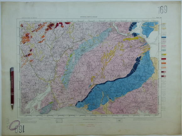
Ireland sheet 169, Wexford, 1” scale. 1878. Includes Bannow Bay in SW corner. Hand-coloured. ge.
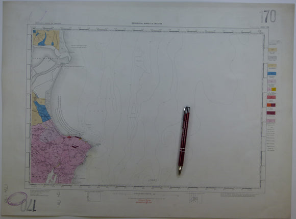
Ireland sheet 170, Rosslare Point, 1” scale. 1873. Includes 90% Irish Sea. Hand-coloured. Geological Survey of Ireland.
Ireland sheet 171, Dingle, 1” scale. 1859. First edition. Includes Great Blasket Island Hand-coloured. Geological Survey of Ireland.
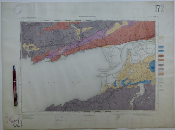
Ireland sheet 172, Dingle Bay, 1” scale. 1879. 30% Bay. Base map not dated. Coloured 1910. Hand-coloured. Geological Survey of Ireland.
Ireland sheet 173, Killarney, 1” scale. 1882. Includes Killorglin, Lough Leane. Hand-coloured. Geological Survey of Ireland.
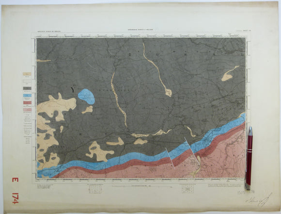
Ireland sheet 174, Millstreet, 1” scale. 1859. First edition. Base map not dated. Hand-coloured. Geological Survey of Ireland.
Ireland sheet 175, Mallow, 1” scale. 1882. Covers Kanturk. Base map not dated. Coloured 1903. Hand-coloured. Geological Survey of Ireland.
Ireland sheet 176, Fermoy, 1” scale. 1882. Base map not dated. Coloured 1903. Hand-coloured. Geological Survey of Ireland.
Ireland sheet 177, Lismore, 1” scale. 1880. Base map not dated. Coloured 1906. Hand-coloured. Geological Survey of Ireland.
Ireland sheet 180, Fethard, 1” scale. 1901. Includes Saltee Islands. Hand-coloured. Geological Survey of Ireland.
Ireland sheet 181, Carnsore Point, 1” scale. 1873. 95% sea. Base map not dated. Coloured 1902. Hand-coloured. Geological Survey of Ireland.
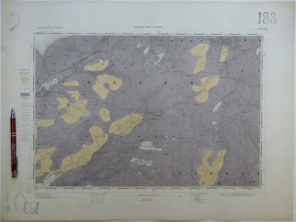
Ireland sheet 183, Cahersiveen, 1” scale. 1879. No settlements inland from coast. Hand-coloured. Geological Survey of Ireland.
Ireland sheet 184, Kenmare, 1” scale. 1859. First edition. Covers Muckrose Lake, Macgillycuddy’s Reeks. Hand-coloured. Geological Survey of Ireland.
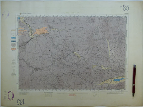
Ireland sheet 185, untitled – Sullane River, 1” scale. 1880. Few settlements. Base map not dated. Hand-coloured. Geological Survey of Ireland.
Ireland sheet 186, Blarney, 1” scale. 1879. Few settlements. Includes line of CM&D Extension Light Railway. Hand-coloured engraving. Geological Survey of Ireland.
Ireland sheet 186, Youghal, 1” scale. 1880. Base map not dated Includes Ardmore and Castlemartyr. Hand-coloured. Geological Survey of Ireland.