Free UK postage
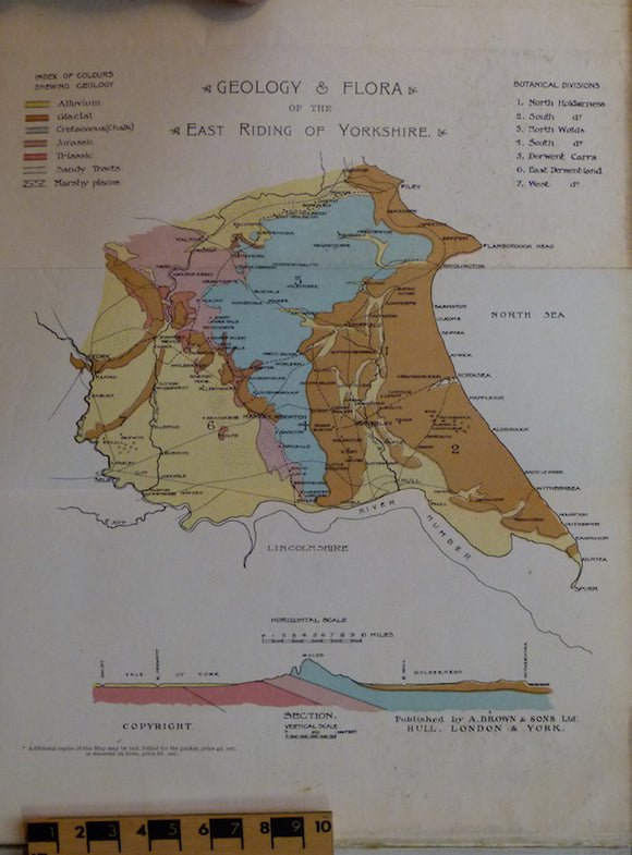
Sheppard, Thomas (1903). Geological Rambles in East Yorkshire. HB. 255pp. A. Brown & Sons.
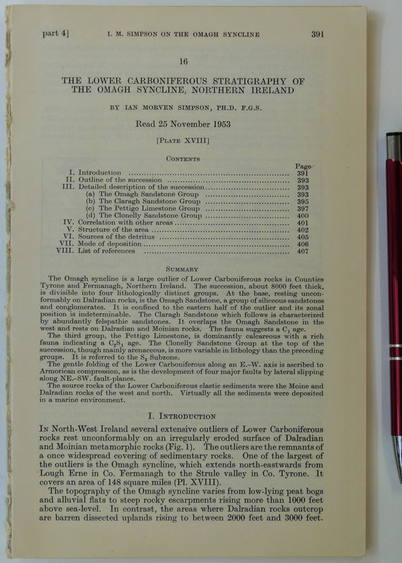
Simpson, Ian M. (1955). ‘Geological Sketch-Map of the Carboniferous Rocks of the Omagh Syncline, Northern Ireland’, fold-out b/w map. Geological Society of London.
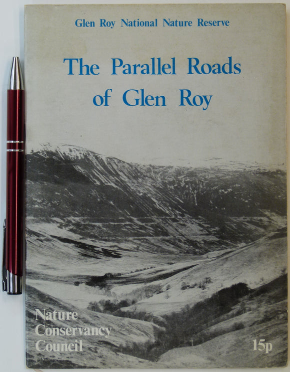
Sissons, J.B. (n.d.). The Parallel Roads of Glen Roy, Nature Conservancy Council, London. 8pp. + 4 fold-out large scale b/w landform maps. Nature Conservancy Council.
Smith, Alan (2010). Lakeland Rocks; an Introductory Guide. Keswick: Rigg Side Publications, No.4. Rigg Side Publications.
Smith, D.I. (ed), (1975). Limestones and Caves of the Mendip Hills. Newton Abott: David & Charles. 424pp. David & Charles.
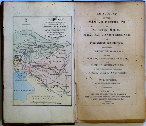
Sopwith, Thomas. 1833. An Account of the Mining Districts of Alston Moor, Weardale and Teesdale. William Davison.
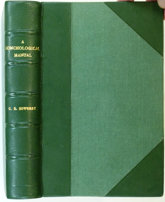
Sowerby, G.B. jr, 1852. A Conchological Manual. London: Henry G. Bohn David & Charles. 337pp.+ 27 plates. Henry G. Bohn.
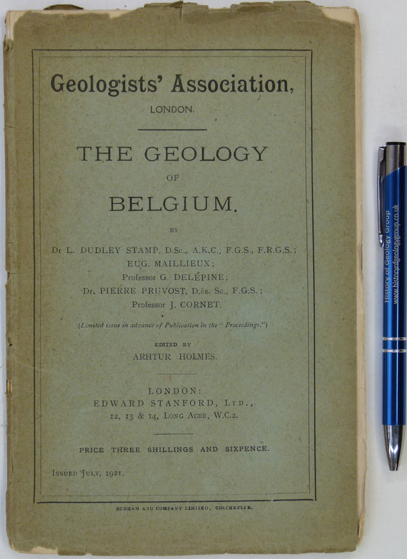
Stamp, Dudley, et al (1921). The Geology of Belgium. Ed: Arthur Holmes. London: Edward Stanford for Geologists’ Association. 38pp. + fold out colour printed map. Geologists' Association.
Straw, Allan, and Clayton, Keith (1979). The Geomorphology of the British Isles: Eastern and Central England. London: Methuen. Methuen.
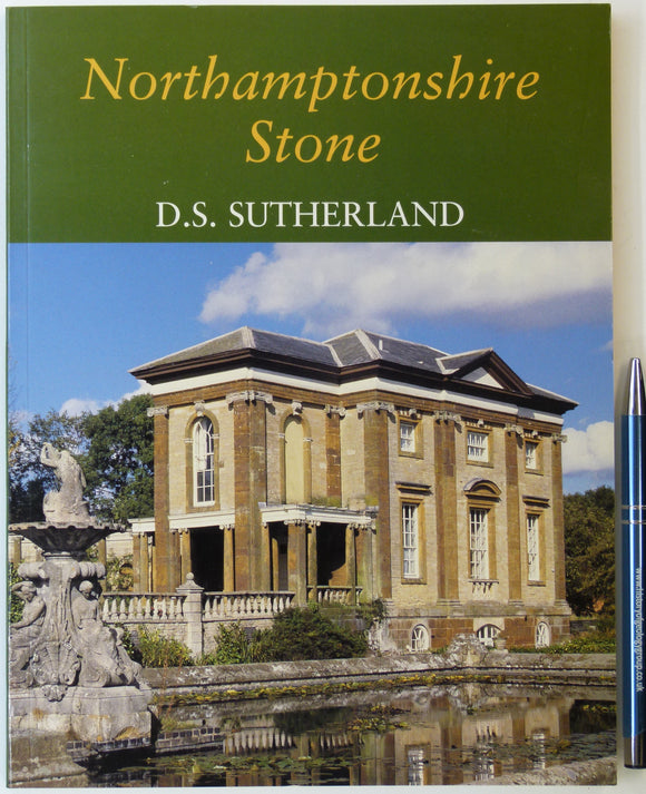
Sutherland, D.S. (2003). Northampton Stone. Wimborne: Dovecote Press. 128pp. PB, A4 format. Clean. Author's signature. Dovecote Press.
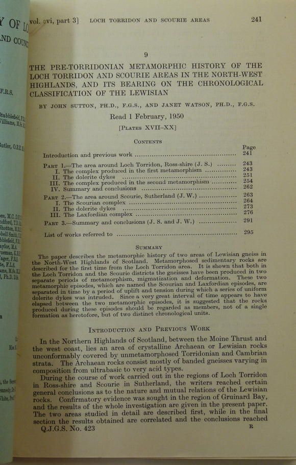
Sutton, J. and Watson, J. (1951). ‘Geological Map of the Country Around Loch Torridon’, 1:31,680 scal. Geological Society of London.
Swinnerton, HH, and Kent, PE. (1981). The Geology of Lincolnshire; from the Humber to the Wash. Lincoln: Lincoln Naturalists’ Union. 2nd edition. 130pp. PB. Lincoln Naturalists' Union.
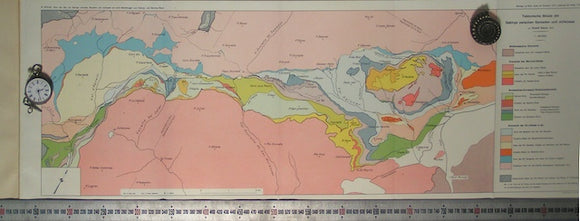
Tektonische Skizze der Gebirge zwischen Samaden und Julierpass. Staub, R, Swiss Geol Commission.
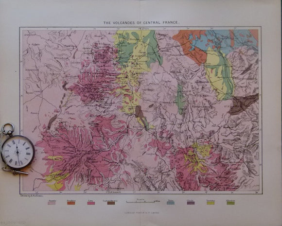
The Volcanoes of Central France, 1880. 1880.
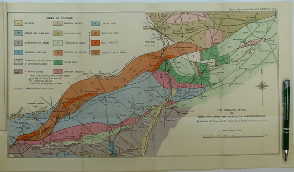
Thomas, Herbert Thomas, et al. (1924). ‘The Volcanic Series of Trefgarn, Roch, and Ambleston, Pembrokeshire’, fold out colour map. Geological Society of London.
Thompson, Beeby (c1928). The Northampton Sand of Northamptonshire; reprints from the J. of the Northamptonshire Natural History Society,. Northamptonshire Natural History Society.
Toghill, Peter, and Chell, Keith, (1984). Shropshire Geology; Stratigraphic and Tectonic History. Taunton: Field Studies Council. Field Studies Council.
Tomkeieff, S.I. 1940. ‘The Basalt lavas of the Giant’s Causeway District of Northern Ireland’. Offprint. Bulletin Volcanique.
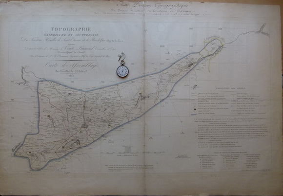
Topographique exterieure et souteraine du Territoire Houiller de St Etienne et de Rive Gier, 1813. 1813.
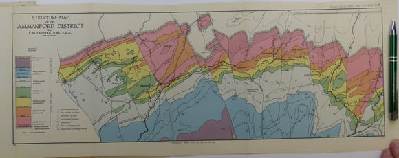
Trotter, Frederick Murray (1947). ‘Structure Map of the Ammanford District’, a fold out colour printed map. Geological Society of London.
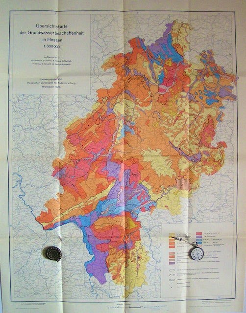
Ubersichtskarte der Grundwasserbeschaffenheitin Hessen (Overview map of Groundwater Quality of Hesse), 1966. Hesse Soil Survey.
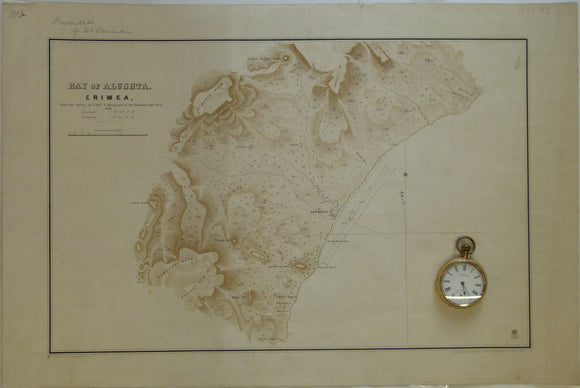
Ukraine / Russia. 1855. Bay of Alushta, Crimea; from the Survey by Captn. E. Manganari of the Russian Imperial Navy
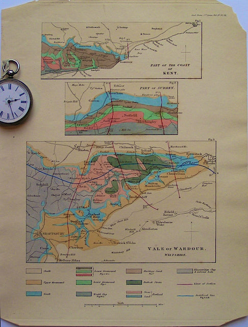
Vale of Wardour, Wiltshire, 1835. TGS.
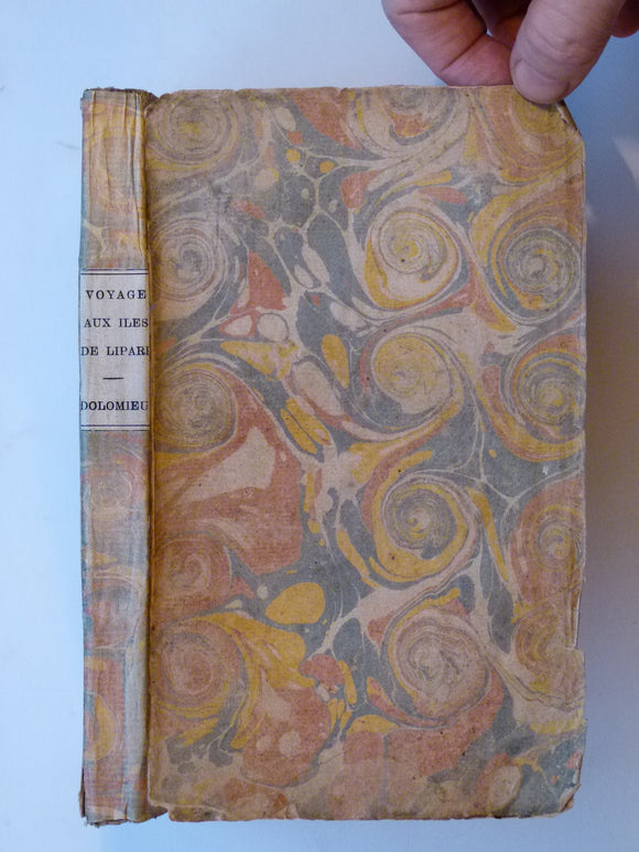
Voyages aux Iles de Lipari, fait en 1781, ou Notices sur les Iles Aeoliennes, pour server a l’Histiore des Volcans. Academie Royale des Sciences.