Free UK postage
Sheet memoir 40 & part 32. (1934). Allen, JK and Knox, J. Economic Geology of the Fife Coalfields; Area 2 Cowdenbeath and Central Fife. Geological Survey of Scotland.
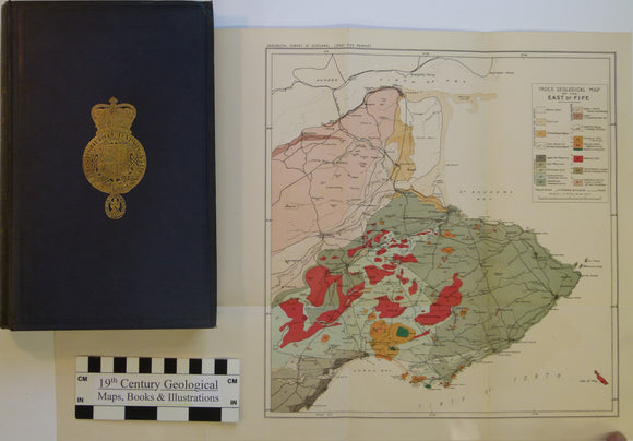
Sheet memoir 41. Geikie, Archibald. 1902. Geology of Eastern Fife. Geol. Survey of Scotland Memoir. Geological Survey of Scotland.
Sheet memoir 53. Bailey, E.B., Maufe, M.A. et al. (1960). The Geology of Ben Nevis and Glen Coe and Surrounding Country. second…. Geological Survey of Scotland.
Sheet memoir 72E. (1992). Peacock, JD. et al. Geology of the Glen Affric District. Geological Survey of Scotland.
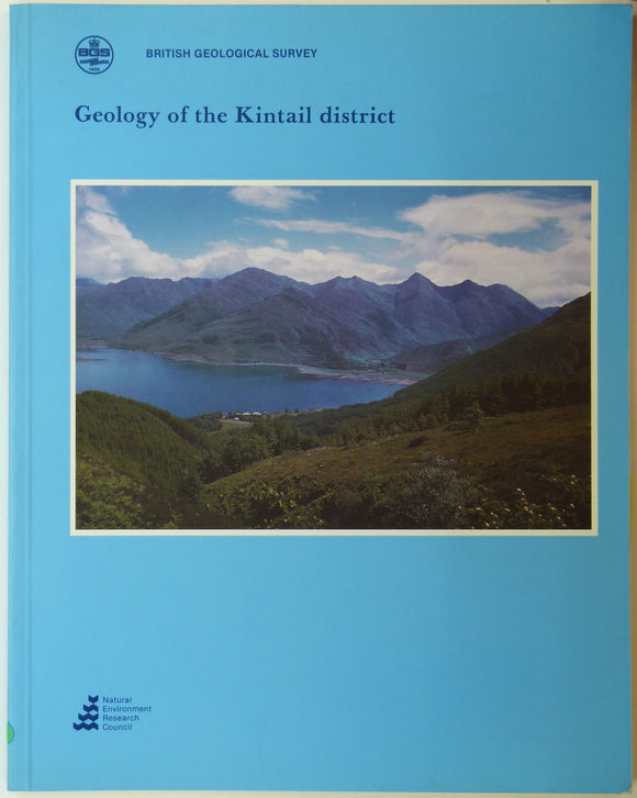
Sheet memoir 72W. (1993). May, F. and Peacock, JD. et al. Geology of the Kintail District. Geological Survey of Scotland.
Sheet memoir 82. (1913). Peach, BN and Horne, J. The Geology of Central Ross-Shire. Geological Survey of Scotland,. Geological Survey of Scotland.
Sheet memoir 93. (1912). Peach, BN et al. The Geology of Ben Wyvis, Carn Chuinneag, Inchbae and the Surrounding Country. Geological Survey of Scotland.
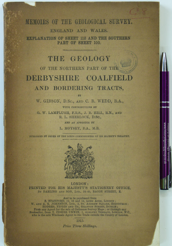
Sheet Memoir 112 and part 100. The Geology of the Northern Part of the Derbyshire and Nottinghamshire Coalfield, by Gibson, W. et al. (1913). 186pp +1 foldout plate. HB,. British Geological Survey.
Sheet Memoir 112 and part 100. The Geology of the Northern Part of the Derbyshire Coalfield and Adjoining Tracts, by Gibson, W. et al. (1913). 186pp +1 foldout plate. PB,. British Geological Survey.
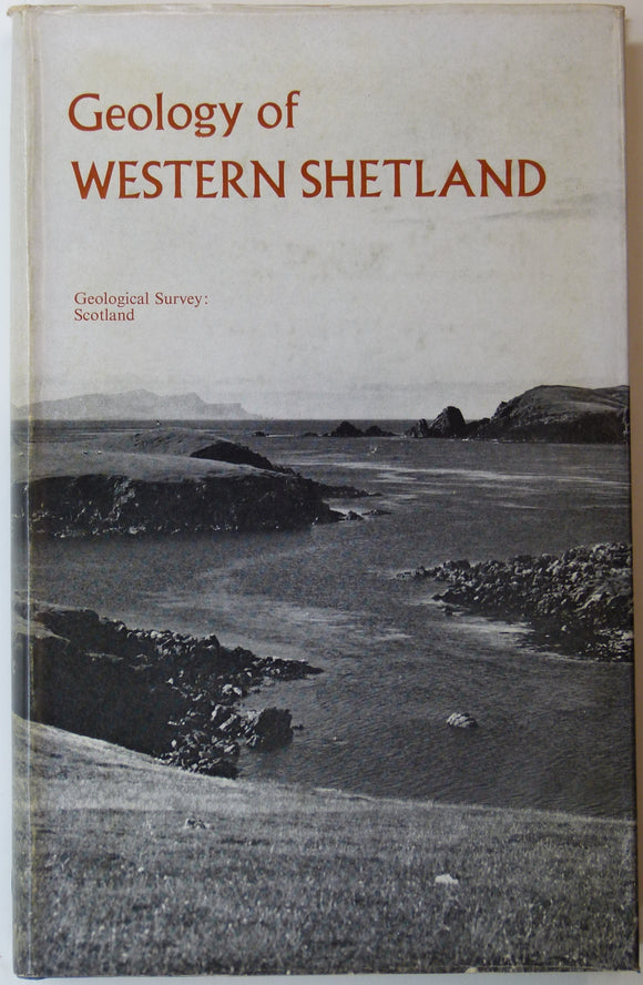
Sheet memoir 127 and parts of 125, 126, 128. (1976). Mykura, W. and Phemister, J. The Geology of Western Shetland. Geological Survey of Scotland,. Geological Survey of Scotland.
Sheet memoir 167, Dudley and Bridgenorth, 1947, by TH Whitehead and RW Pocock. Geological Survey of England & Wales.
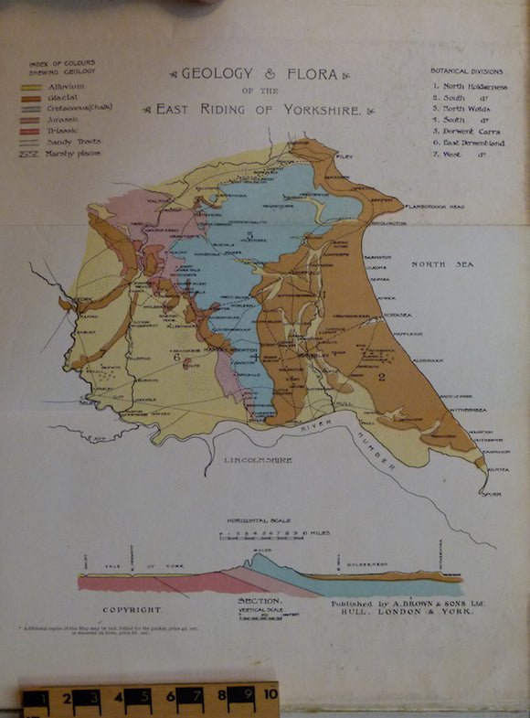
Sheppard, Thomas (1903). Geological Rambles in East Yorkshire. HB. 255pp. A. Brown & Sons.
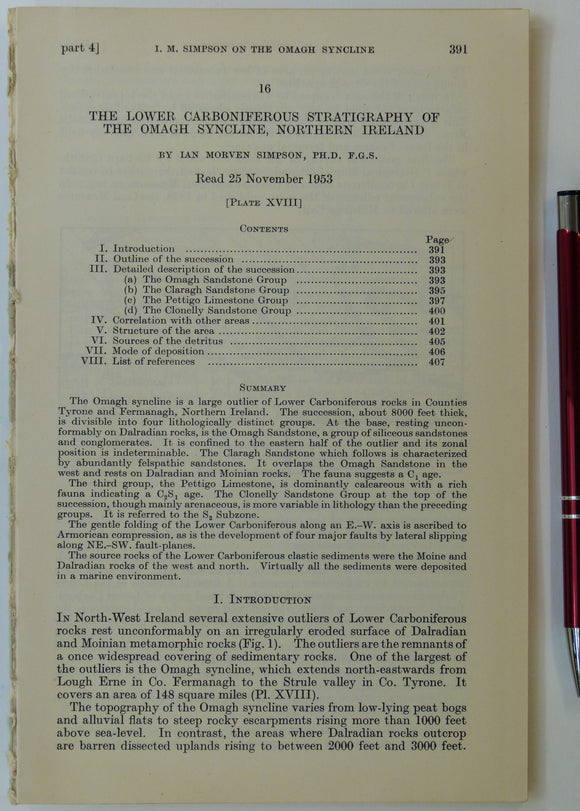
Simpson, Ian M. (1955). ‘Geological Sketch-Map of the Carboniferous Rocks of the Omagh Syncline, Northern Ireland’, fold-out b/w map. Geological Society of London.
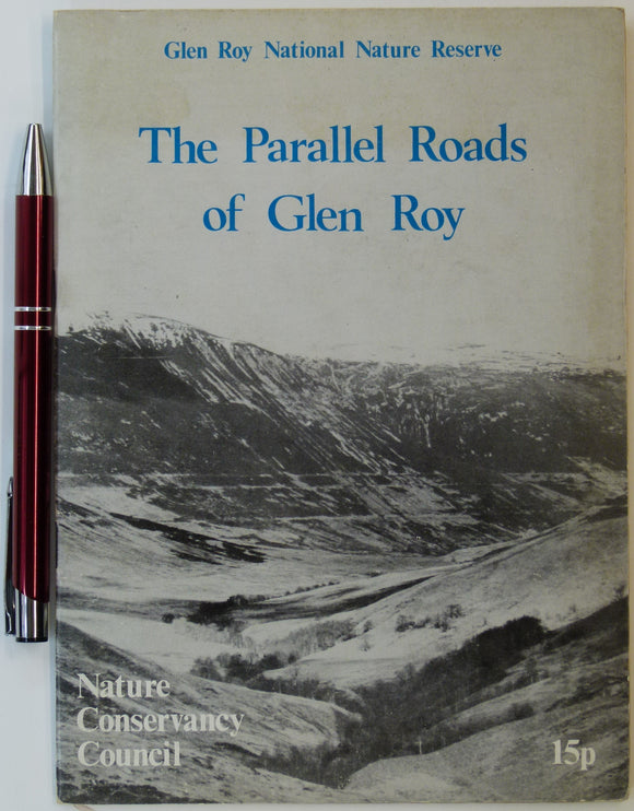
Sissons, J.B. (n.d.). The Parallel Roads of Glen Roy, Nature Conservancy Council, London. 8pp. + 4 fold-out large scale b/w landform maps. Nature Conservancy Council.
Smith, Alan (2010). Lakeland Rocks; an Introductory Guide. Keswick: Rigg Side Publications, No.4. Rigg Side Publications.
Smith, D.I. (ed), (1975). Limestones and Caves of the Mendip Hills. Newton Abott: David & Charles. 424pp. David & Charles.
Straw, Allan, and Clayton, Keith (1979). The Geomorphology of the British Isles: Eastern and Central England. London: Methuen. Methuen.
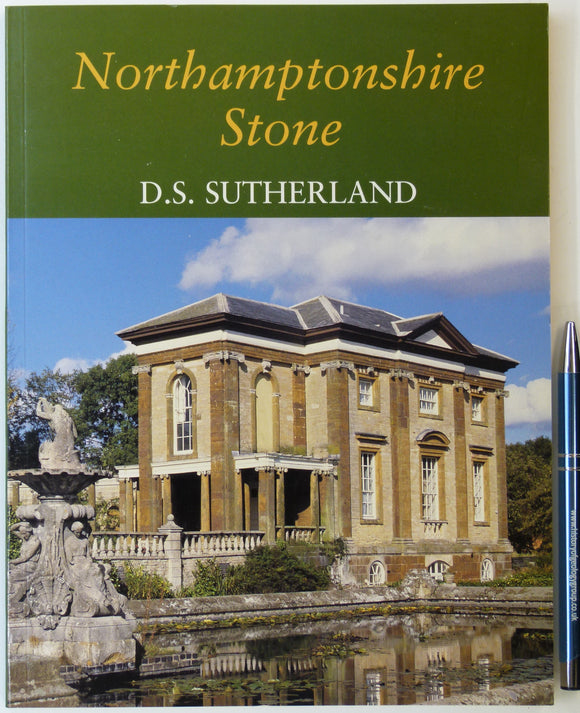
Sutherland, D.S. (2003). Northampton Stone. Wimborne: Dovecote Press. 128pp. PB, A4 format. Clean. Author's signature. Dovecote Press.
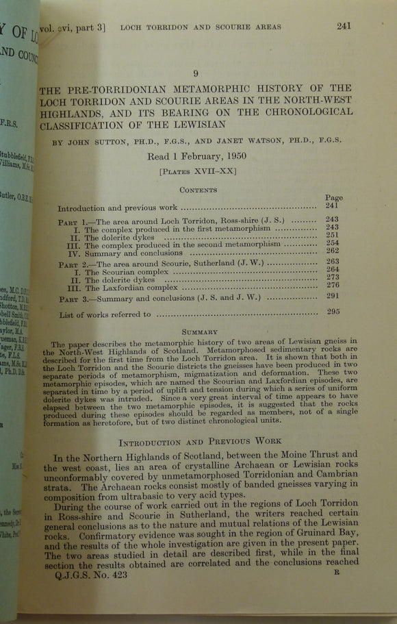
Sutton, J. and Watson, J. (1951). ‘Geological Map of the Country Around Loch Torridon’, 1:31,680 scal. Geological Society of London.
The Geology of the Concealed Coalfield of Yorkshire and Nottinghamshire (1913) first edition, 122pp.…. Gibson, W, (Geol Survey).
The Stratigraphy and Structure of the Upper Coal Measures in the Exposed Yorkshire Coalfield between Pontefract and South Kirkby. Goosens, R.F., &Smith, E.G..
The Student’s Lyell; the Principles and Methods of Geology, as Applied to the Investigation of the Past History of the Earth and Its Inhabitants, 1911. Judd, John (ed).
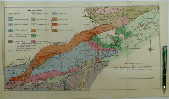
Thomas, Herbert Thomas, et al. (1924). ‘The Volcanic Series of Trefgarn, Roch, and Ambleston, Pembrokeshire’, fold out colour map. Geological Society of London.
Thompson, Beeby (c1928). The Northampton Sand of Northamptonshire; reprints from the J. of the Northamptonshire Natural History Society,. Northamptonshire Natural History Society.