Free UK postage
Toghill, Peter, and Chell, Keith, (1984). Shropshire Geology; Stratigraphic and Tectonic History. Taunton: Field Studies Council. Field Studies Council.
Tomkeieff, S.I. 1940. ‘The Basalt lavas of the Giant’s Causeway District of Northern Ireland’. Offprint. Bulletin Volcanique.
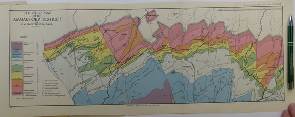
Trotter, Frederick Murray (1947). ‘Structure Map of the Ammanford District’, a fold out colour printed map. Geological Society of London.
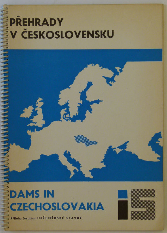
Votruba, L. 1967. Dams in Czechoslovakia / Prehrady v Ceskoslovensku. Spiral-bound report 32pp.
Wales Mid- 1946. [Map of] The Complex Intrusion of Welfield, Near Builth Wells, Radnorshire, colour. Geological Society of London.
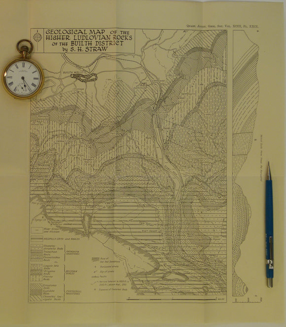
Wales Mid- 1947. Geological Map of the Higher Ludlovian rocks of the Builth District, b&w. Geological Society of London.
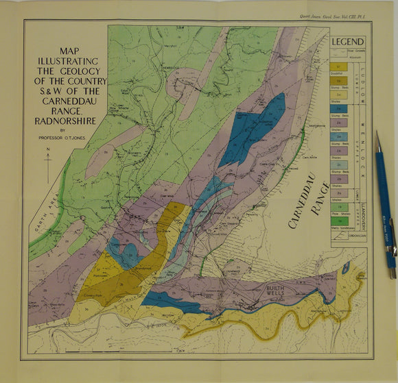
Wales Mid- 1947. Map Illustrating the Geology of the Country S.&W. of the Carneddau Range, Radnorshire, colour. Geological Society of London.
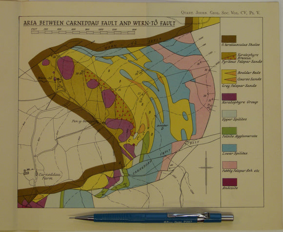
Wales Mid- 1949. 3 maps: Area between Llanelwedd and Carneddau Fault, and Area between Carneddau Fault and Wern-to Fault, and Area Between Wern-to Fault and Cwm-Amliw Fault , all colour. Geological Society of London.
Wales South 1944. Geological Map of the Prescelly Hills, North Pembrokeshire, colour. Geological So.
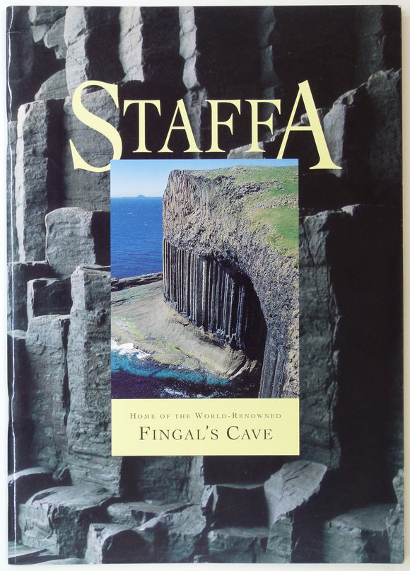
Watteville, A. de. (1993). Staffa: Home of the World Renowned Fingal’s Cave. Romsey Fine Art, Romsey. 22pp. Romsey Fine Art.
Whittow, J.B. 1978. Geology and Scenery of Ireland. In the Series. London: Penguin. 299pp. Penguin.
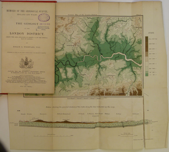
Woodward, H.B. (1909). The Geology of the London District (being the area included in the Sheets 1 – 4 of the Special Map of London) 1st edition.
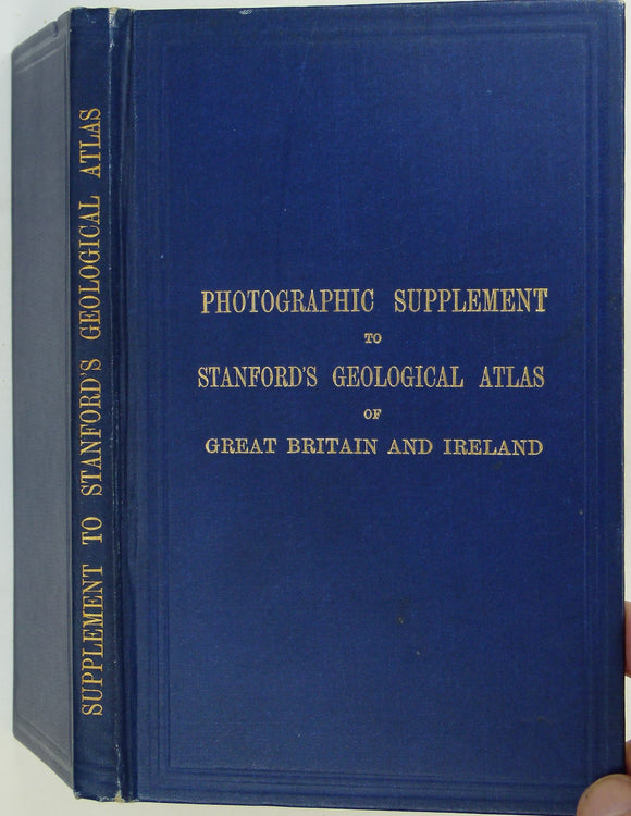
Woodward, H.B. (1913). Photographic Supplement to Stanford’s Geological Atlas of Great Britain and Ireland, 1st edition. Stanford's Atlas.
Wright, J.F. (1968). The Geology of the Church Stretton area: Explanation of 1:25,000 Geological Sheet SO59. London: HMSO. British Geological Survey.
Yorkshire Rocks and Landscape; a Field Guide, Yorkshire Geological Society. Scruton, Colin (ed).
Yorkshire: a Jouney through Time, Keyworth, British Geological Survey, 1996. Bell, Richard.
Zanchi, A. & Gaetani, M. 2011, Geological Map of the Central-Western Karakoram, Pakistan, in east and west parts, each 1:100,000 scale,


![Wales Mid- 1946. [Map of] The Complex Intrusion of Welfield, Near Builth Wells, Radnorshire, colour](http://geolmaps.com/cdn/shop/products/P1080550_{width}x.JPG?v=1547142668)
![Wales Mid- 1946. [Map of] The Complex Intrusion of Welfield, Near Builth Wells, Radnorshire, colour](http://geolmaps.com/cdn/shop/products/P1080550_580x.JPG?v=1547142668)