Free UK postage
Poland. 1984. Mapa Geologiczna Polski I Krajow Osciennych; bez utworow kenozoicznych, mesosoicznych i permskich. [Geological Map of Poland and Adjoining Countries without Cenozoic, Mesozoic and Permian formations] Set of 3 maps
Prosser, Robert (1977). Geology Explained in the Lake District. Newton Abbot: David and Charles. First edition. David & Charles.
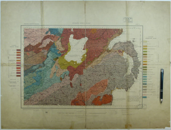
Quarter inch sheet 2. Untitled – Antrim & North Channel, (1952). Revision. Colour print, flat, 42 x 71cm. Scale 1:253,440. Geological Survey of N. Ireland.
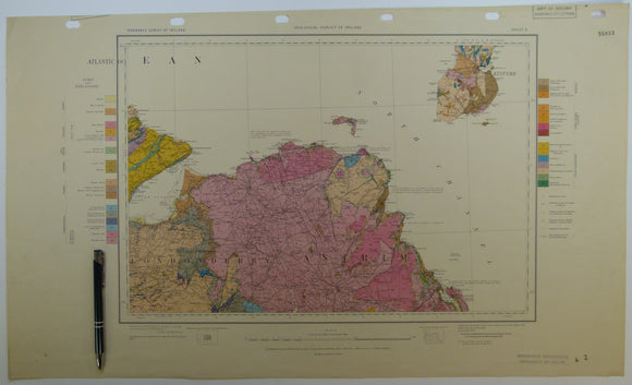
Quarter inch sheet 5. Untitled – Lough Neagh, Counties Down, Armagh, Monaghan, (c1913). First edition. Base map 1921. Geological Survey of N. Ireland.
Rawdon, P.F. & Wright, J.K. (1992). The Yorkshire Coast: Guide No.34. Geologists’ Association, second edition. Geologists' Association.
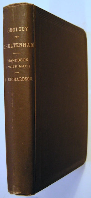
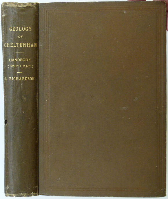
Richardson, L., (1904). A Handbook of the Geology of Cheltenham and Neighbourhood. Cheltenham: Norman, Sawyer & Co. 303pp. Norman, Sawyer & co.
Richardson, L., (1904). A Handbook of the Geology of Cheltenham and Neighbourhood. Cheltenham: Norman, Sawyer & Co. 303pp. HB,. Norman, Sawyer & co.
Richey, JE. (1932). ‘Tertiary Ring Structures in Britain’, extract from , Transactions of the Geological Society of Glasgow, v.19, pp.42--140. Geological Society of Glasgow.
Rogers, A.F. & Kerr, P.F. (1942). Optical Mineralogy. New York: McGraw-Hill. 390pp. Second revised edition. McGraw-Hill.
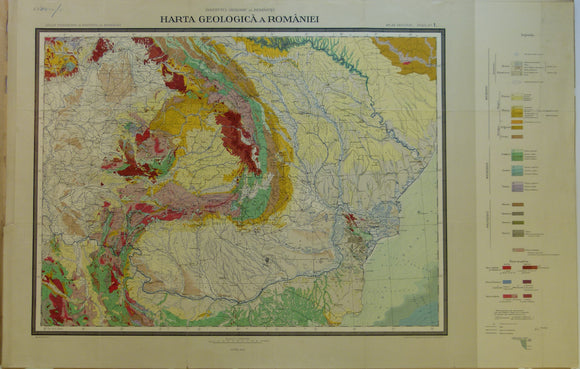
Romania. 1926. Carte Geologique de la Roumaine. Colour printed map 1:1,500,000 scale (52 x 81cm)
Romania. 1961. Carte Geologique de la Vallee du Danube entre Drencova et T. Severin. 1:100,000 scale
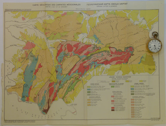
Romania. 1961. Carte Geologique des Carpates Meridionales (entre l’0lt at le Danube). 1:500,000
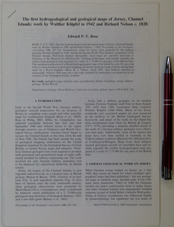
Rose, Edward P.F. (2005). ‘ The first hydrogeological and geological maps of Jersey, Channel Islands:. Geologists' Association.
Rowe, Arthur, (1901). ‘The Zones of the White Chalk’, in the Proceedings of the Geologists’ Association, v.17, pt.1, pp. 1-77. Geologists' Association.
Scourse, J.D., (1986). The Isles of Scilly: Field Guide. Quaternary Research Association. 151pp. Quaternary Research Association.
Selwood, E.B. et al (eds), 1998. The Geology of Cornwall and the Isles of Scilly. U. of Exeter Press. 298pp. university of exeter.
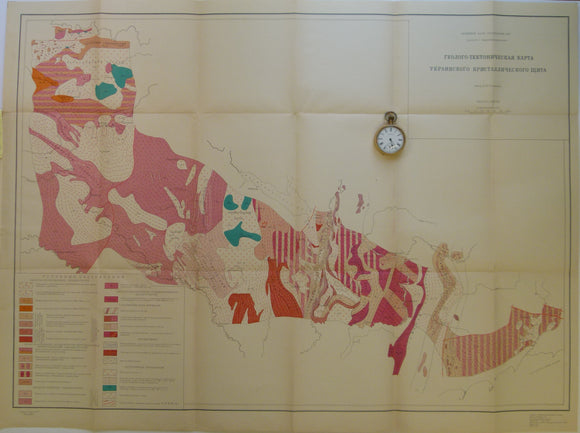
Semenchenko, H.I. 1963. Ukraine. Tectonic Map of Area between the Dneiper and Deneister Rivers. 1:1,000,000
Shackleton, E.H. (1973). Lakeland Geology; Where to go: What to see. Clapham: Dalesman Books. Second edition. Dalesman Books.
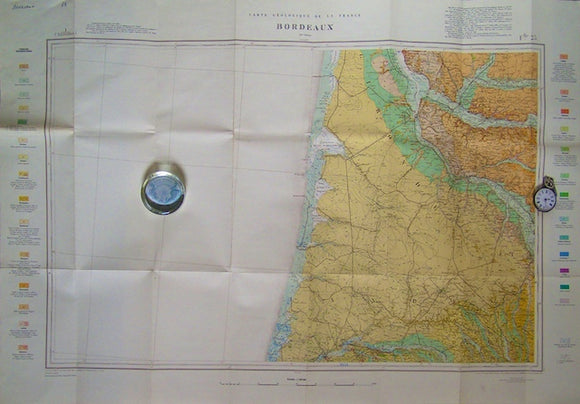
Sheet 59, Bordeaux, Carte Géologique de la France, 1967. Scale 1:320,000. Bureau de Researches Geologiques et Minieres.
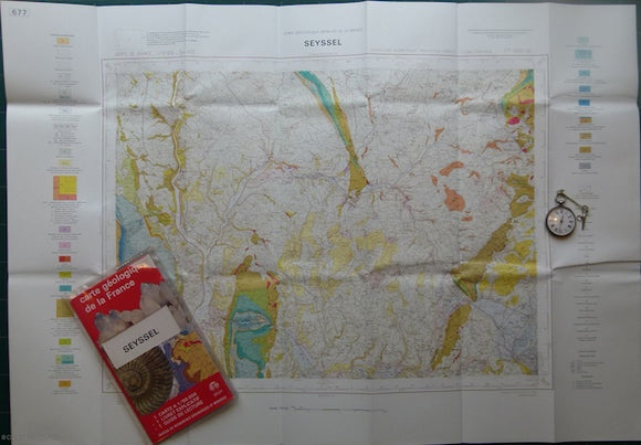
Sheet 677, Seyssel, Carte Géologique Détaillée de la France, 1972. Bureau de Researches Geologiques et Minieres.
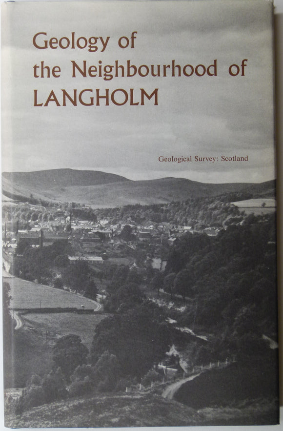
Sheet memoir 11. (1967). Lumsden, GI. et al. Geology of the Neighbourhood around Langholm. Geological Survey of Scotland. Geological Survey of Scotland.
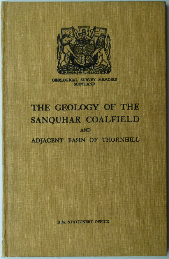
Sheet memoir 15 & part 9. (1936). Simpson, JB and Richey, JE. The Geology of the Sanquhar Coalfield and Adjacent Basin of Thornhill. Geological Survey of Scotland.
Sheet memoir 32. (1962). Mitchel, GH, and Mykura, W. et al. Geology of the Neighbourhood of Edinburgh. Geological Survey of Scotland,. Geological Survey of Scotland.
![Poland. 1984. Mapa Geologiczna Polski I Krajow Osciennych; bez utworow kenozoicznych, mesosoicznych i permskich. [Geological Map of Poland and Adjoining Countries without Cenozoic, Mesozoic and Permian formations] Set of 3 maps](http://geolmaps.com/cdn/shop/products/P1080936_{width}x.JPG?v=1555761875)
![Poland. 1984. Mapa Geologiczna Polski I Krajow Osciennych; bez utworow kenozoicznych, mesosoicznych i permskich. [Geological Map of Poland and Adjoining Countries without Cenozoic, Mesozoic and Permian formations] Set of 3 maps](http://geolmaps.com/cdn/shop/products/P1080936_580x.JPG?v=1555761875)