Free UK postage
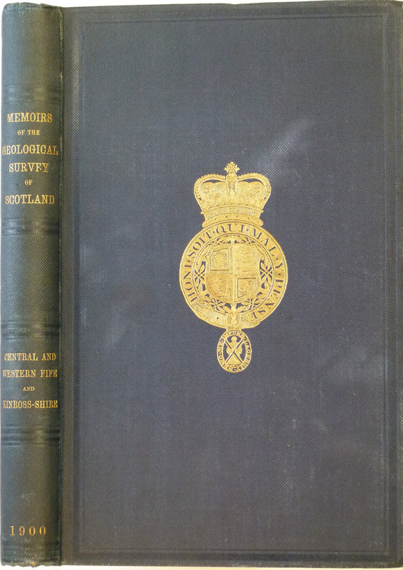
Geikie, Archibald. 1900. Geology of Central and Western Fife and Kinross. Geol. Survey of Scotland Memoir. Geological Survey of Scotland.
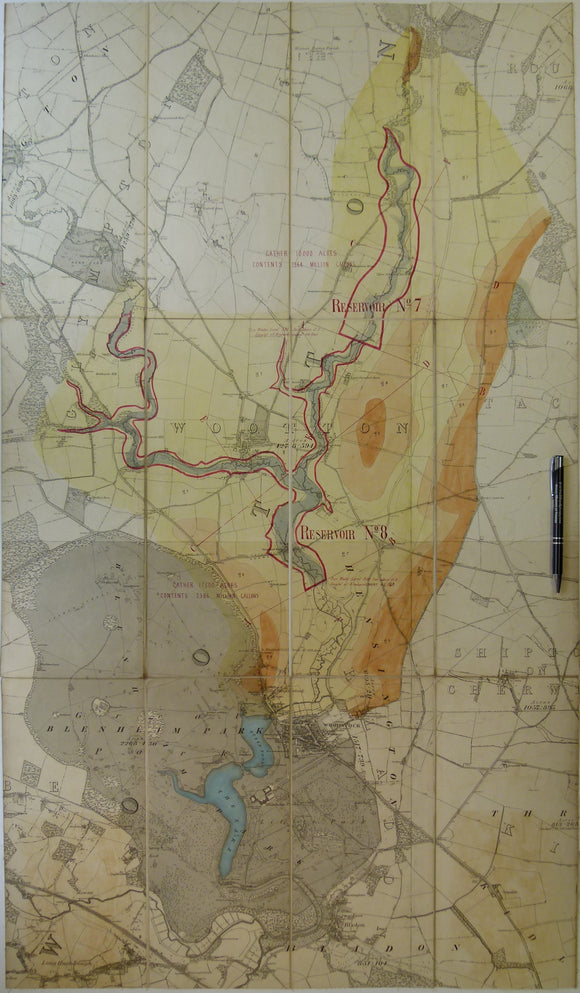
Geological Map of Blenheim area, Oxfordshire. Manuscript
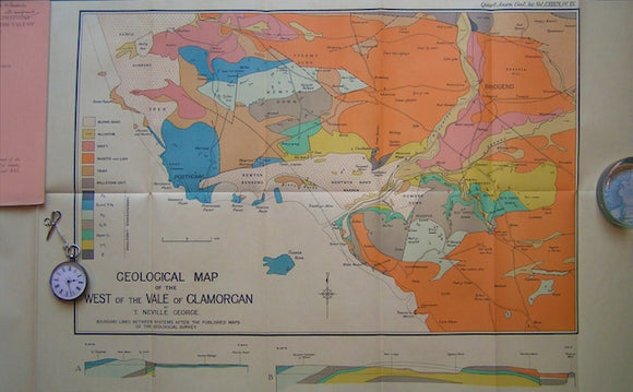
Geological Map of the West of the Vale of Glamorgan,1933. George, Neville QJGS.
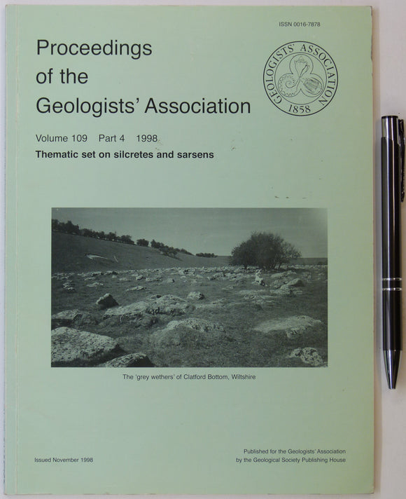
Geologists’ Assoc. (1998). ‘Thematic set on Silcretes and Sarsens, in Proceedings of the Geologists’ Association, v.109,. Geologists' Association.
George, T. Neville, (1932). ‘The Quaternary Beaches of Gower [S. Wales]’ offprint from the Proceedings of the Geologists Association. v.63,. Geologists' Association.
Hains, B.A. (1969). The Geology of the Craven Arms area: Explanation of 1:25,000 Geological Sheet SO48. British Geological Survey.
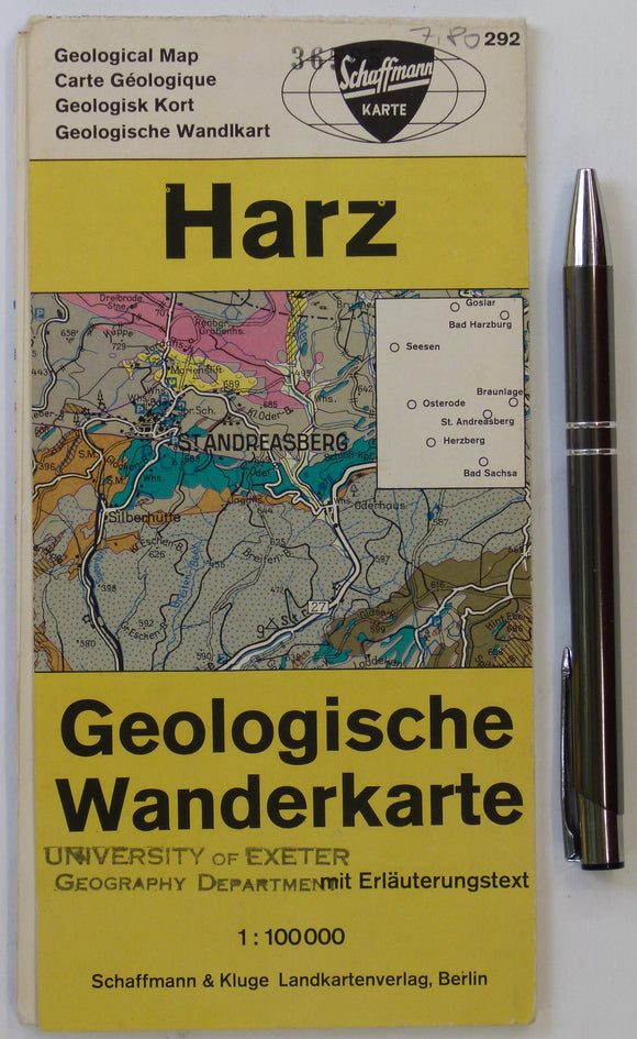
Harz Geologische Wanderkarte (n.d.). Berlin: Schaffmann und Kluge. Colour printed map and section, 59 x 49cm. Schaffman und Kluge.
Hayes, W.H. et al, 1901. Report on a geological reconnaissance [sic] of Cuba. Publ by USGS, 123 pp. + 29 photographic plates
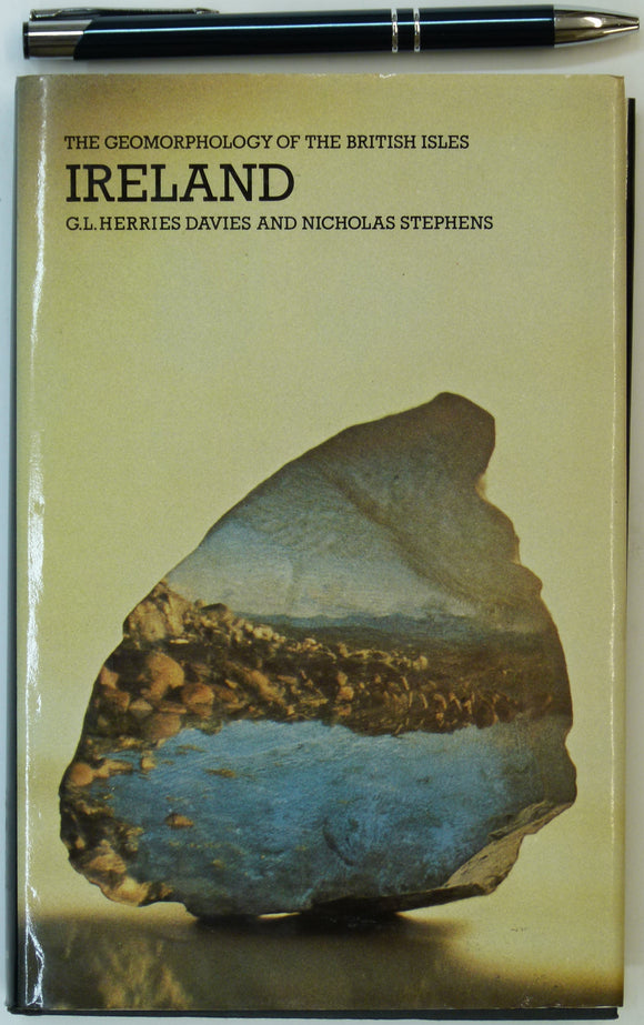
Herries Davies, G.L. & Stephens, Nicholas. 1978. Ireland. In the Series – The Geomorphology of the British Isles. London: Methuen. Methuen.
House, Michael, (1989). Geology of the Dorset Coast. Geologists’ Association, first edition. 162pp. + 8pp. of b/w plates. PB. Geologists' Association.
Hughes, J.C, (1922). The Geological Story of the Isle of Wight. London: Edward Stanford. First edition. 115pp. Edward Stanford.
Insole, Allan et al, (1998). The Isle of Wight; Guide No.60. Geologists’ Association, first edition. 132pp. PB,. Geologists' Association.
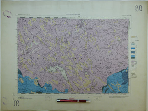
Ireland sheet 80, Ballyjamesduff, 1” scale. 1900. Covers Virginia, Bailieborough. Base map not dated. Hand-coloured. Geological Survey of Ireland.
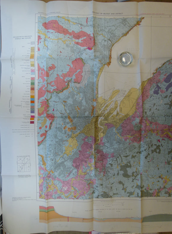
Ireland. Geology of Belfast and District: Special Engineering Geology Sheet, Solid and Drift. (1971). Geological Survey of Northern Ireland. Colour print,. Geological Survey of N. Ireland.
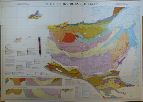
Ireland. The Geology of South Mayo. (1985). University of Glasgow. Colour print, folded, 72 x 101cm. Scale 1:63,360. University of Glasgow.
Jones, Owen Thomas (1952). ‘Map of the Drainage Systems of Wales’, fold out b/w printed map 1:633,600. Geological Society of London.
Jukes-Brown, A.J. (1911). The Building of the British Isles; Being a History of the Construction and Geographical Evolution of the British Region. London. Edward Stanford.
Keen, D.H. (ed.) (1989). West Midlands Field Guide. Cambridge: Quaternary Research Association. 145pp. First edition. Quaternary Research Association.
Kendal, PF, and Wroot, HE, (1924). Geology of Yorkshire. An Illustration of the Evolution of Northern England. 1924. published by author.
Kennedy, Wm. Q. (1955). ‘Geological Map of the Morar Anticline, West Inverness-shire’, fold-out b/w map with sections,. Geological Society of London.
Kent, P.E. et al (1970). ‘Symposium: Triassic Rocks of the British Isles’ in Quarterly Journal of the Geological Society. Geological Society of London.
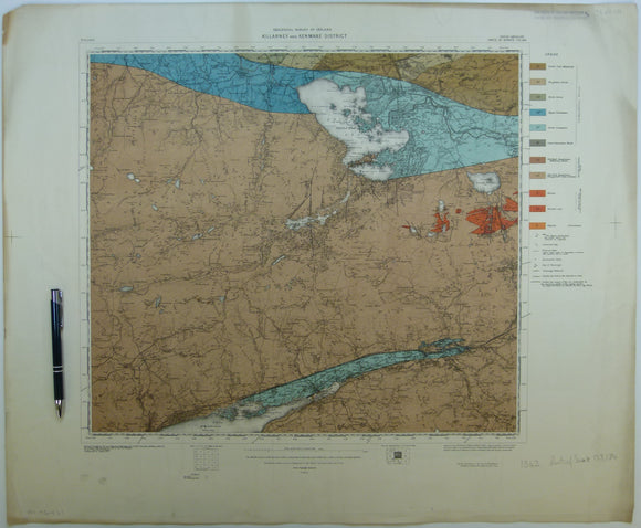
Killarney & Kenmare District, (1913). First edition. Colour print, flat, 56 x 68.5cm. Scale 1:63,360. Base map 1910. Geological Survey of Ireland.
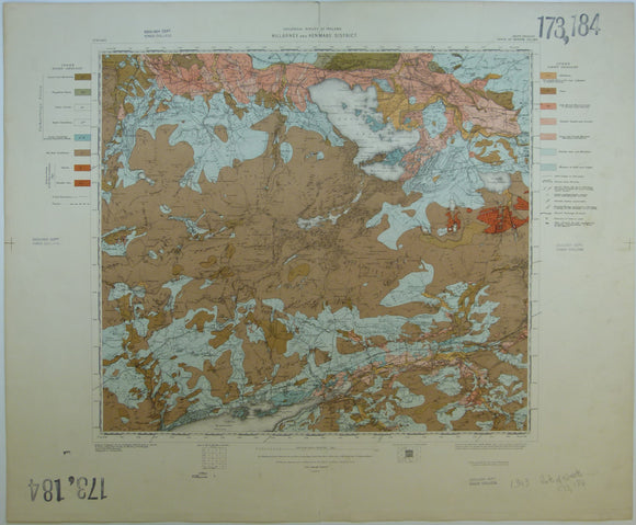
Killarney & Kenmare District, Drift, (1913). First edition. Colour print, flat, 56 x 68.5cm. Scale 1:63,360. Base map 1910. Geological Survey of Ireland.
Leveridge, B.E. et al (eds), (2011). The Marine Devonian of Great Britain, Special edition of PGA. Elsevier. V.122, Issue 4. 250pp. Geologists' Association.


![George, T. Neville, (1932). ‘The Quaternary Beaches of Gower [S. Wales]’ offprint from the Proceedings of the Geologists Association. v.63,](http://geolmaps.com/cdn/shop/products/George-Gower_{width}x.jpg?v=1617721372)
![George, T. Neville, (1932). ‘The Quaternary Beaches of Gower [S. Wales]’ offprint from the Proceedings of the Geologists Association. v.63,](http://geolmaps.com/cdn/shop/products/George-Gower_580x.jpg?v=1617721372)


![Hayes, W.H. et al, 1901. Report on a geological reconnaissance [sic] of Cuba. Publ by USGS, 123 pp. + 29 photographic plates](http://geolmaps.com/cdn/shop/products/P1090447_{width}x.jpg?v=1577473138)
![Hayes, W.H. et al, 1901. Report on a geological reconnaissance [sic] of Cuba. Publ by USGS, 123 pp. + 29 photographic plates](http://geolmaps.com/cdn/shop/products/P1090447_580x.jpg?v=1577473138)