Free UK postage
Sheet 23, Old Series 1". Devon: Dartmoor, Start Point. Geological Survey of England & Wales.
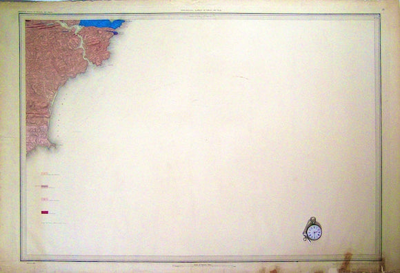
Sheet 24 Old Series 1". 1869. Cornwall: Looe Bay, Plymouth, Bolt Head. Hand-coloured. Geological Survey of England and Wales.
Sheet 24 Old Series 1". 1872. Cornwall: Looe Bay, Plymouth, Bolt Head, Eddystone. Hand-coloured. Geological Survey of England & Wales.
Sheet 24 Old Series 1". c1850. Cornwall: Looe, Plymouth, Eddystone Lighthouse. Hand-coloured. Geological Survey of England and Wales.
Sheet 25 Old Series 1". 1868. Devon / Cornwall: Dartmoor, part of Bodmin Moor. Hand-coloured. Geological Survey of England & Wales.
Sheet 26 Old Series 1". 1869. Devon: Bideford Bay, Appledore, Oakhampton. Hand-coloured. Geological Survey of England & Wales.
Sheet 26 Old Series 1". 1889. Devon: Bideford, Oakhampton. Hand-coloured engraving. Geological Survey of England & Wales.
Sheet 26, Old Series 1". Devon: Okehampton, Hartland on west edge Appledore on north, N.Molton on NE corner. Geological Survey of England & Wales.
Sheet 27 Old Series 1". 1873. Northwest Devon. Hand-coloured engraving. Geological Survey of England & Wales.
Sheet 27 Old Series 1". 1873. Northwest Devon. Hand-coloured engraving. Geological Survey of England and Wales.
Sheet 27 Old Series 1". c1869. Northwest Devon: Ilfracombe, Morte Bay. Hand-coloured. Geological Survey of England and Wales.
Sheet 28 Old Series 1". 1850. Lundy, Devon. Hand-coloured engraving. Geological Survey of England & Wales.
Sheet 28 Old Series 1". 1858. Lundy, Devon. Hand-coloured engraving, flat. Geological Survey of England & Wales.
Sheet 29 Old Series 1". 1858. Devon / Cornwall: Hartland Quay, Bude. Hand-coloured. Geological Survey of England and Wales.
Sheet 29 Old Series 1". 1917. Devon / Cornwall: Hartland Quay, Bude. Hand-coloured. Geological Survey of England and Wales.
Sheet 30 Old Series 1". 1858. Cornwall, north coast: Tintagel to Holywell Bay, inland: Bodmin, Lostwithiel. Geological Survey of England & Wales.
Sheet 31 & 32, Old Series 1" joined. Cornwall: south coast from Fowey to Lizard, north coast, Perran Sands and St.Agnes Head. Hand-coloured. Geological Survey of England and Wales.
Sheet 34, Old Series 1". 1857. Wiltshire / Gloucester: Calne, Swindon, Marlborough Downs, Cirencester, Stroud. Geological Survey of England & Wales.
Sheet 34, Old Series 1". 1859. Wiltshire / Gloucester: Calne, Swindon, Marlborough Downs, Cirencester, Stroud. Geological Survey of England & Wales.
Sheet 38, Old Series 1". c1858. 1st edition. Pembrokeshire coast between Ragwen Point and Skokholm Island incl. Milford Haven. Geological Survey of England & Wales.
Sheet 39, Old Series 1". c1850. 1st edition. Pembrokeshire: St.Davids, Skomer Island. Hand-coloured. Geological Survey of England and Wales.
Sheet 39, Old Series 1". c1850. 1st edition. Pembrokeshire: St.Davids, Skomer Island. Hand-coloured engraving,. Geological Survey of England & Wales.
Sheet 40, Old Series 1". 1857. Pembrokeshire: Haverfordwest, Fishguard. Topography 1843, watermark 1858,. Geological Survey of England & Wales.