Free UK postage
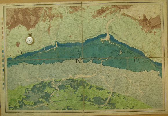
Section No. 20 (1865). Continuous section across Kenmare Valley, Macgillycuddy’d Reeks, and Slievemish Mtns near Tralee. Illustrates maps 162, 173 & 184. Geological Survey of Ireland.
Section No. 3 (1860). Covers Maryborough, Castlecomer Coalfield, Barrow valley, Bagnalstown. Hand-coloured engraving, iIllustrates maps 127, 128, 137 & 147. Geological Survey of Ireland.
Section No. 32 (1892). Continuous section across Kenmare Valley, Macgillycuddy’d Reeks, and Slievemish Mtns near Tralee. Illustrates maps 162, 173 & 184. Hand-coloured. Geological Survey of Ireland.
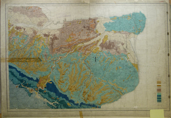
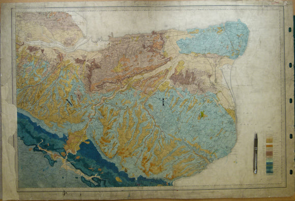
Section No. 9 (1861). Five sections covering Silvermines, Arra Mountains, Cratloe Mountains, Slieve Bernagh, Ennis. Hand-coloured engraving. Illustrates maps 132, 133, & 134. Geological Survey of Ireland.
Sheet 2, Old Series 1". Essex, Burnham and Kent, Sheerness, 1868, first edition. Hand-coloured. Geological Survey of England & Wales.
Sheet 2, Old Series 1". Essex, Burnham and Kent, Sheerness, 1883. Hand-coloured and issued 1907. Geological Survey of England & Wales.
Sheet 3 drift, Old Series 1". East Kent, Dover, Margate, Canterbury, Isle of Sheppey. 1889. Geological Survey of England & Wales.
Sheet 3 drift, Old Series 1". East Kent, Dover, Margate, Canterbury. hand coloured, 1889. Geological Survey of England & Wales.
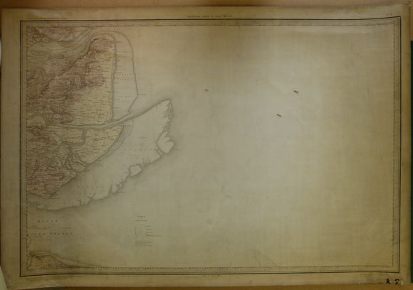
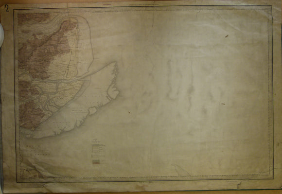
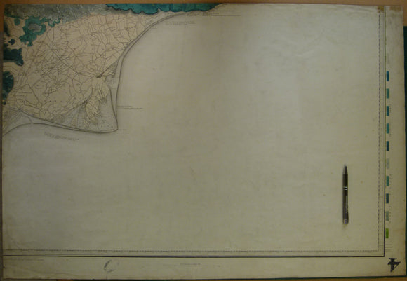
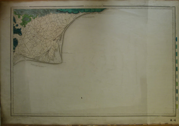
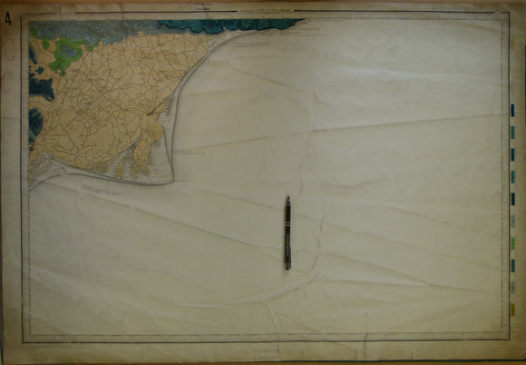
Sheet 4, Old Series 1". Kent, Romney Marsh, Rye. 1863, first edition. Hand-coloured. Geological Survey of England & Wales.
Sheet 4, Old Series 1". Kent, Romney Marsh, Rye. 1863, first edition. Hand-coloured engraving. Geological Survey of England and Wales.
Sheet 4, Old Series 1". Kent, Romney Marsh, Rye. 1863, first edition. issued 1903. Geological Survey of England & Wales.
Sheet 5 drift, Old Series 1". Sussex, Beachy Head, Eastbourne. 1864, 1st edition. Geological Survey of England & Wales.
Sheet 6, Old Series 1". 1889. West Kent / East Surrey. Coloured and issued 1904. Geological Survey of England & Wales.
Sheet 6, Old Series 1”. West Kent / East Surrey,1889. Hand-coloured. Geological Survey of England & Wales.
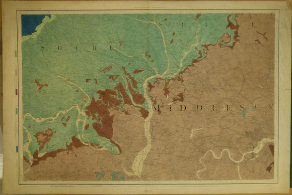
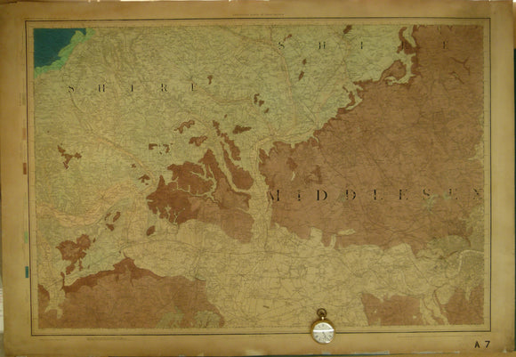
Sheet 7 drift, Old Series 1". London and northwest, 1871, first drift edition, no topography date. Geological Survey of England & Wales.
Sheet 7 drift, Old Series 1". London and northwest, 1871, first drift edition, base map 1822. Geological Survey of England and Wales.
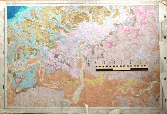
Sheet 7, Old Series 1". West London & northwest, 1871.Hand-coloured. Geological Survey of England and Wales.
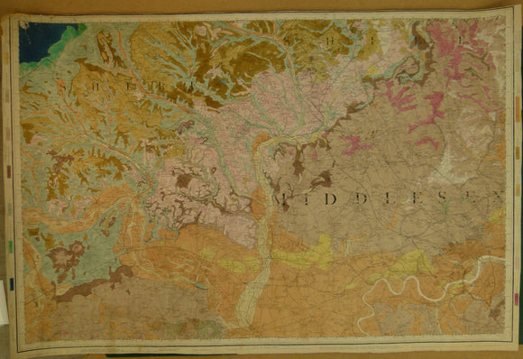
Sheet 7, Old Series 1". West London and northwest, 1865 first edition, base map 1822. Geological Survey of England & Wales.
Sheet 7, Old Series 1". West London and northwest, 1871, base map 1822. Geological Survey of England and Wales.
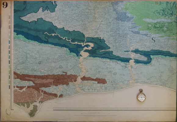
Sheet 9, Old Series 1". Sussex coast, Brighton to Selsey Bill. 1864, first edition. Geological Survey of England and Wales.
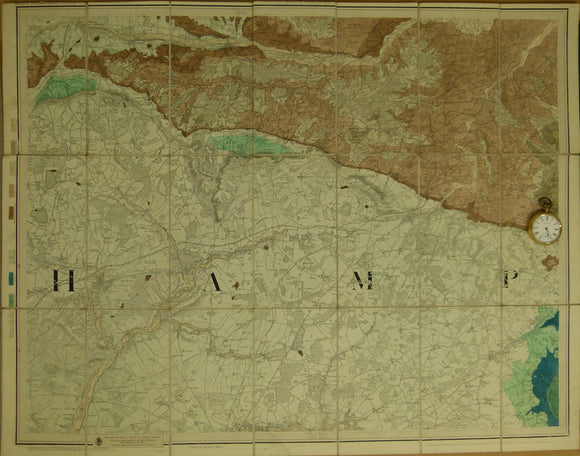
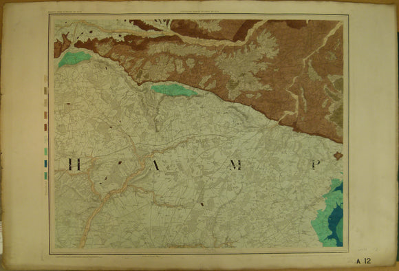
Sheet 12, Old Series 1”. 1860, 1st edition. Hampshire / Berkshire. Hand-coloured engraving,. Geological Survey of England & Wales.
Sheet 12, Old Series 1”. 1860, 1st edition. Issued 1860. Hampshire / Berkshire
Sheet 14, Old Series 1". Covering Bath (NE corner) to Glastonbury (SW corner), 1882. Geological Survey of England & Wales.
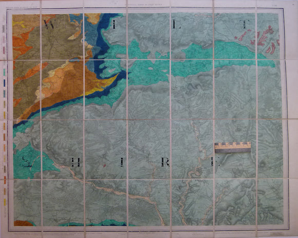
Sheet 14, Old Series 1”. 1859, 1st edition. Hampshire / Wiltshire. Hand-coloured. Geological Survey of England and Wales.