Free UK postage
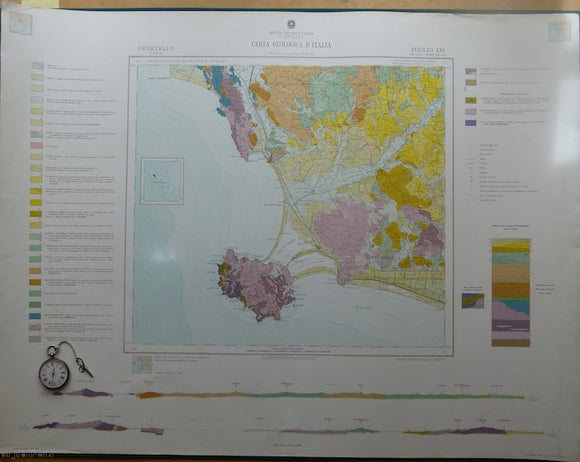
Orbitello, sheet 135, Carta Geologicad’Italia, 1968. 135 Orbitello.
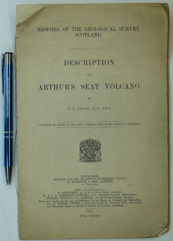
Peach, B.N., (1911). Description of Arthur’s Seat Volcano. Geological Survey of Scotland. 23pp. Reprint of extract. Geological Survey of Scotland.
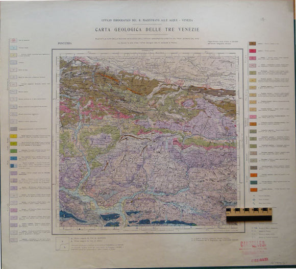
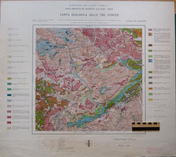
Pieve di Cadore, 1940, from Carta Geologica delle Tre Venezie, sheet 12, by Ufficio Idrografico del R. Magistrato alla Acque – Venezia. Pieve di Cadore.
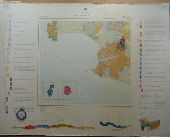
Piombino, sheet 127, Carta Geologicad’Italia, 1968. 127 Piombino.
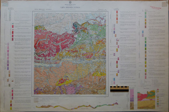
Pizzo Bernina- Sondria, 1967, sheet 7-18 of Geologica d’Italia by Servizio Geologica d’Italia. Pizzo Bernina-Sondria.
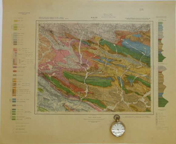
Poland. 1938. Kielce, Sheet 4 (pas 46, słup31) of Carte Géologique Générale de la Pologne. Colour printed map
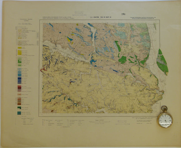
Poland. 1938. Opatów, no sheet number (pas 45, słup33) of Carte Géologique Générale de la Pologne. Colour printed map
Poland. 1984. Mapa Geologiczna Polski I Krajow Osciennych; bez utworow kenozoicznych, mesosoicznych i permskich. [Geological Map of Poland and Adjoining Countries without Cenozoic, Mesozoic and Permian formations] Set of 3 maps
Pontebba, 1925, from Carta Geologica delle Tre Venezie, sheet 14, by Ufficio Idrografico del R. Magistrato alla Acque – Venezia. Pontebba.
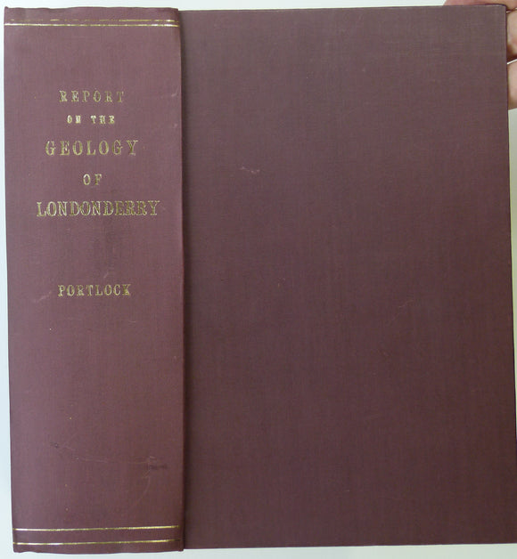
Portlock, J.E. (1843). Report on the Geology of the County of Londonderry and of parts of Tyrone and Fermanagh. Longman et al.
Quarter inch sheet 2. Untitled – Antrim & North Channel, (1952). Revision. Colour print, flat, 42 x 71cm. Scale 1:253,440. Geological Survey of N. Ireland.
Quarter inch sheet 5. Untitled – Lough Neagh, Counties Down, Armagh, Monaghan, (c1913). First edition. Base map 1921. Geological Survey of N. Ireland.
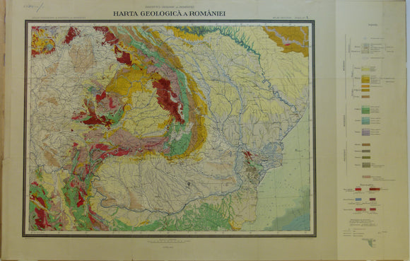
Romania. 1926. Carte Geologique de la Roumaine. Colour printed map 1:1,500,000 scale (52 x 81cm)
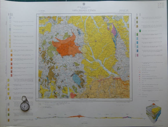
S.Fiora, sheet 129, Carta Geologicad’Italia, 1965. 129 s.Fiora.
Section No. 10 (1861). Six sections covering Slieverdagh Coalfield, Earl’s Hill Colliery, Boulea Collieries, Johnstown, Hollyford Mines, Marlow. Illustrates one inch maps 136, 145, 148 & 156. Geological Survey of Ireland.
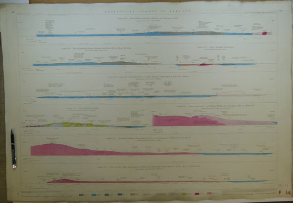
Section No. 11 (1862). Four sections covering the Devil’s Bit Mountains, the Sleivebloom Range, Knockshigowna Hill. Illustrates one inch maps 126, 127 & 135. Hand-coloured. Geological Survey of Ireland.
Section No. 12 (1862). Five sections covering Slievenaman, Mt Argula, Freagh & Brandon Hills to Coolhill Castle, Coal Measures at Moneyfelim R., to Old Red Sst. near Goresbridge. Illustrates maps 147, 156 & 157. Hand-coloured. Geological Survey of Ireland.
Section No. 13 (1862). 2 Two sections covering Comeragh Mtns, Suir R. to Poulakerry, 2. Boolyglass, over Brandon Hill to R Barrow, near Graiguenamanagh. Illustrates maps 156, 157, 167 & 178. Hand-coloured. Geological Survey of Ireland.
Section No. 14 (1862). Eight short sections in Dublin area from Hill of Howth to Blackrock. Illustrates one inch maps 102 & 112. Hand-coloured. Geological Survey of Ireland.
Section No. 15 (1862). Three sections covering Sybil & Slea Heads, Mt Brandon, Tralee Bay, Caherconree Mtn to Castlemaine Hbr. Illustrates maps 160, 161, 171 & 172. Hand-coloured. Geological Survey of Ireland.
Section No. 16 (1862). continuous section from Knockadoon Head by Youghal over the Knockmealdown Mtns to Galty Mtns. Illustrates one inch maps 156, 166, 177 & 188. Hand-coloured. Geological Survey of Ireland.
Section No. 17 (1864). Four Sections in Galway Bay region. Illustrates one inch maps 114, 123, 124 & 125. Hand-coloured. Geological Survey of Ireland.
Section No. 18 (1864). Three sections covering Scarriff, over Slieve Aughta to Dunsandle, Cashlaundramlahan to Toberdatan, Marble Hill to Dalystown. Illustrates maps 115, 116, & 124. Hand-coloured. Geological Survey of Ireland.
Section No. 19 (1866). Continuous section from Toe Head, by Bantry to Gilgarvan. Illustrates maps 184, 192, 200 & 205. Hand-coloured. Geological Survey of Ireland.


![Poland. 1984. Mapa Geologiczna Polski I Krajow Osciennych; bez utworow kenozoicznych, mesosoicznych i permskich. [Geological Map of Poland and Adjoining Countries without Cenozoic, Mesozoic and Permian formations] Set of 3 maps](http://geolmaps.com/cdn/shop/products/P1080936_{width}x.JPG?v=1555761875)
![Poland. 1984. Mapa Geologiczna Polski I Krajow Osciennych; bez utworow kenozoicznych, mesosoicznych i permskich. [Geological Map of Poland and Adjoining Countries without Cenozoic, Mesozoic and Permian formations] Set of 3 maps](http://geolmaps.com/cdn/shop/products/P1080936_580x.JPG?v=1555761875)