Free UK postage
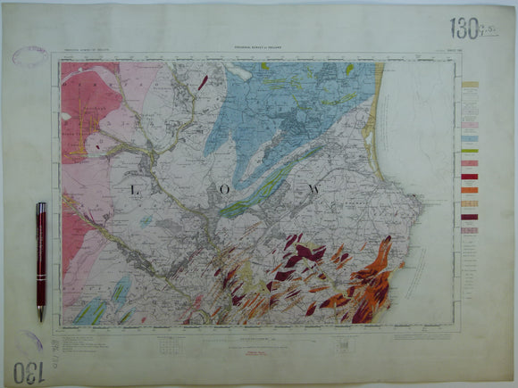
Ireland sheet 130, Wicklow, 1” scale. 1901. Covers Vale of Glendalough, Rathdrum. Hand-coloured. Geological Survey of Ireland.
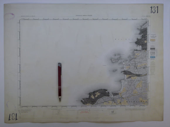
Ireland sheet 131, Mullagh, 1” scale. 1882. Covers Atlantic coast: Donegal Point, Mal Bay – 80% sea. Hand-coloured. Geological Survey of Ireland.
Ireland sheet 132, Ennis, 1” scale. 1882. Covers Milltown Malbay. Coloured 1905. Hand-coloured. Geological Survey of Ireland.
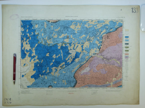
Ireland sheet 133, Sixmilebridge, 1” scale. 1882. Covers Newmarket in Fergus, Tulla. Hand-coloured. Geological Survey of Ireland.
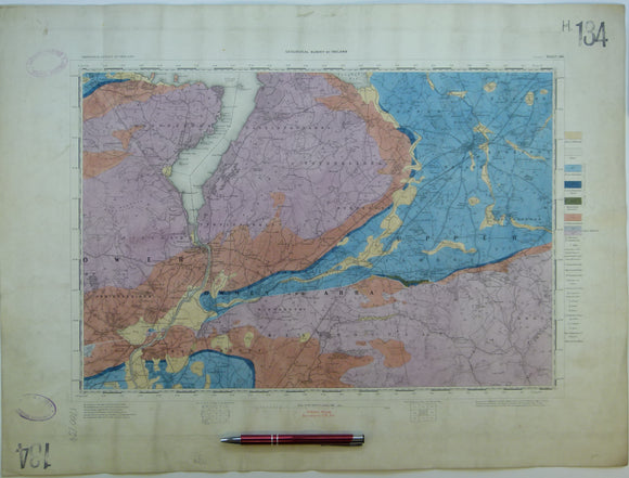
Ireland sheet 134, Nenagh, 1” scale. 1901. Covers Killaloe, Silvermines. Base map not dated. Hand-coloured. Geological Survey of Ireland.
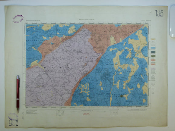
Ireland sheet 135, Templemore, 1” scale. 1901. Base map not dated. Coloured 1908. Hand-coloured. Geological Survey of Ireland.
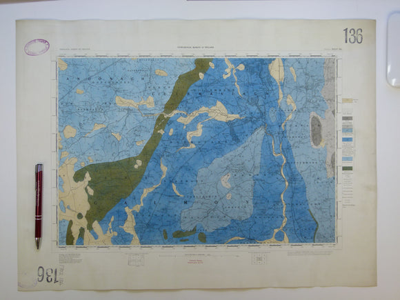
Ireland sheet 136, Durrow, 1” scale. 1878. Covers Ballinakill, Rathdowney. Hand-coloured. Geological Survey of Ireland.
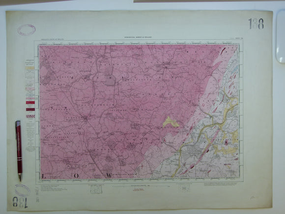
Ireland sheet 138, Tullow, 1” scale. 1901. Covers Hacketstown, Shillelagh. Hand-coloured. Geological Survey of Ireland.
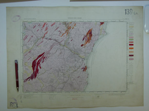
Ireland sheet 139, Arklow, 1” scale. 1861. 35% Irish Sea. Base map not dated. Coloured 1908. Hand-coloured. Geological Survey of Ireland.
Ireland sheet 139, Arklow, 1” scale. 1861. Base map not dated. Coloured 1908. Hand-coloured engraving. Geological Survey of Ireland.
Ireland sheet 14, 1". Cushendall, 1913. Partly hand coloured engraving, 36.5 x 53cm,. Geological Survey of Ireland.
Ireland sheet 140, Loophead, 1” scale. 1882. 95% Atlantic Ocean. Base map not dated. Coloured 1908. Hand-coloured. geo.
Ireland sheet 141, Kilrush, 1” scale. 1881. 35% Atlantic Ocean. Base map not dated. Coloured 1909. Hand-coloured. Geological Survey of Ireland.
Ireland sheet 142, Foynes, 1” scale. 1881. Covers lower Shannon River, Tarbert. Hand-coloured. Geological Survey of Ireland.
Ireland sheet 143, Limerick, 1” scale. 1901. Covers Askeaton, Adare. Hand-coloured. Geological Survey of Ireland.
Ireland sheet 144, Cappamore, 1” scale. 1901. Covers Slievefellim Mountains. Hand-coloured. Geological Survey of Ireland.
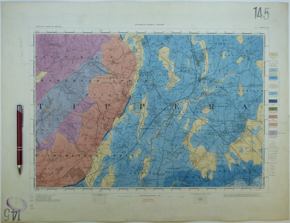
Ireland sheet 145, Thurles, 1” scale. 1901. Base map not dated. Coloured 1906. Hand-coloured. Geological Survey of Ireland.
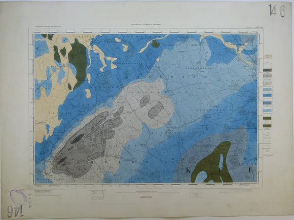
Ireland sheet 146, Ballingarry, 1” scale. 1878. Base map not dated. Coloured 1910. Hand-coloured engraving. Geological Survey of Ireland.
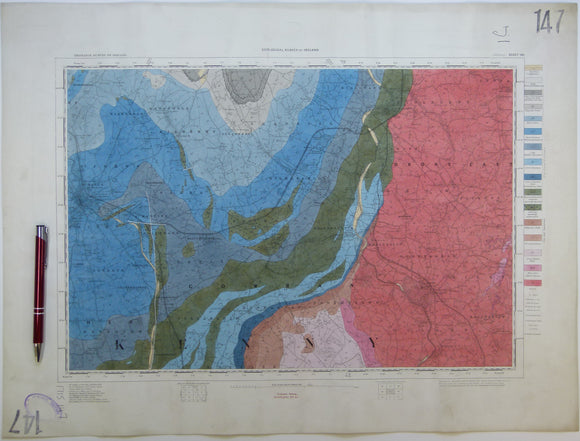
Ireland sheet 147, Kilkenny, 1” scale. 1901. Covers Bagnalstown, Borris. Hand-coloured. Geological Survey of Ireland.
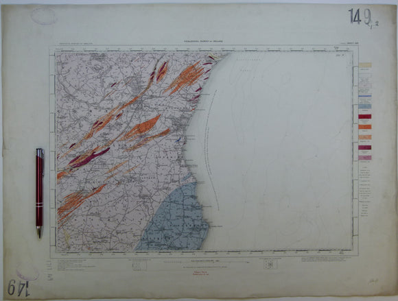
Ireland sheet 149, Gorey, 1” scale. 1901. Covers 50% Irish sea. Hand-coloured. geo.
Ireland sheet 150, Kerry Head, 1” scale. 1859. First edition. 90% Atlantic Ocean. Hand-coloured. Geological Survey of Ireland.
Ireland sheet 151, Listowel, 1” scale. 1881. Includes mouth of the Shannon, south side. Base map not dated. Hand-coloured. Geological Survey of Ireland.
Ireland sheet 152, Newcastle, 1” scale. 1882. Includes Abbeyfeale, Dromtrasna Colliery. Hand-coloured. Geological Survey of Ireland.
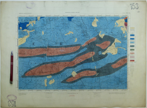
Ireland sheet 153, Rathkeale, 1” scale. 1860, first edition. Covers Ballingarry, Kilmallock. Hand-coloured. Geological Survey of Ireland.