Free UK postage
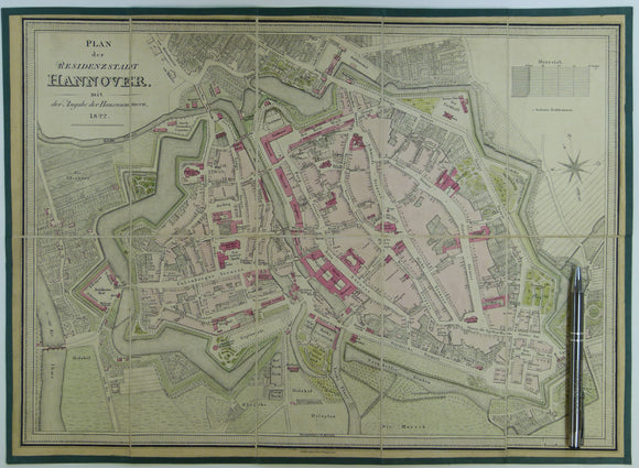
Hannover, Plan der Residenzstadt mit der Angabe der Hausnummern (1822). Edited by VW Muller and engraved by Wagner. Approx. scale 1: 3800. James Wyld.
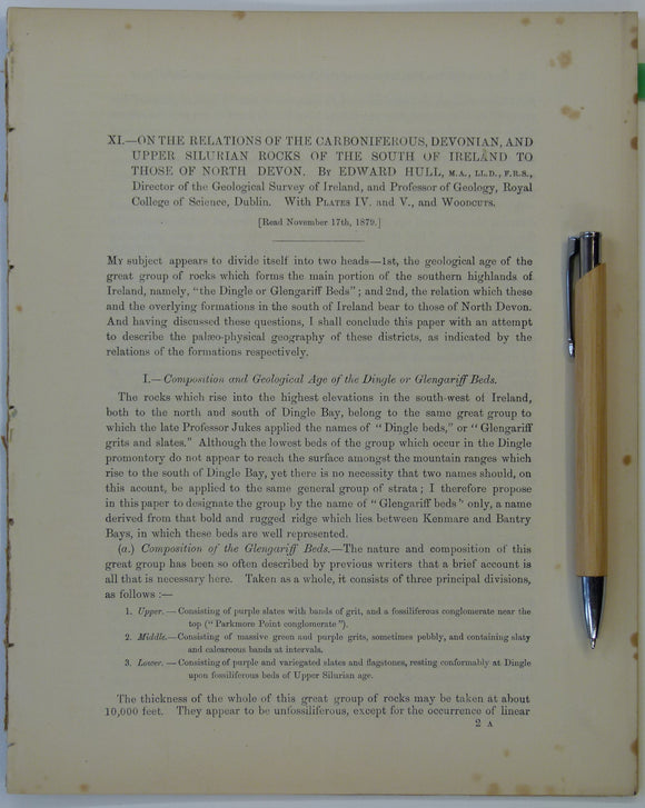
Hull, Edmund. (1879). ‘On the Relations of the Carboniferous, Devonian and Upper Silurian Rocks of the South of Ireland to those of North Devon’, an extract. Royal Dublin Society.
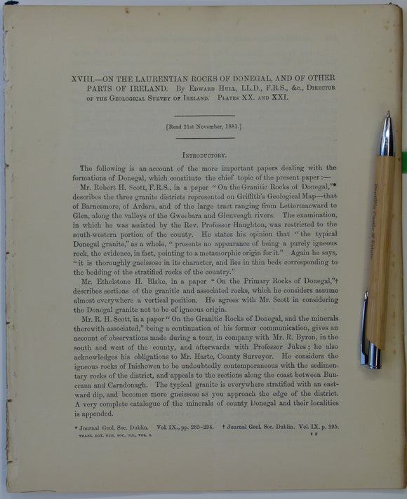
Hull, Edmund. (1881). ‘On the Laurentian rocks of Donegal, and of other Parts of Ireland’, an extract from the Scientific Transactions of the Royal Dublin Society,. Royal Dublin Society.
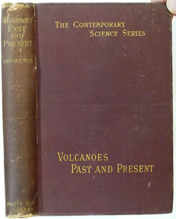
Hull, Edward, (1892). Volcanoes: Past and Present. London: Walter Scott Ltd. 285pp.+ adverts. First edition. Walter Scott Ltd..
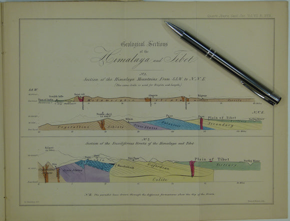
India, Tibet (1851). Strachey, R. On the Geology of Part of the Himalaya Mountains and Tibet. Extract from QJGS. Geological Society of London.
Indian Ocean; [Map of the] Distribution of Oceanic Deposits, John Murray, 1889. In ‘On Marine Deposits in the Indian, Southern and Antarctic Oceans’. Scottish Geographical Society.
Ireland sheet 7, Giant’s Causeway, 1” scale. 1887. 1st ed. Covers Portrush and Ballin. 55% sea. Base map 1865. Hand-coloured. Geological Survey of Ireland.
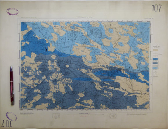
Ireland sheet 107, Ballinasloe, 1” scale. 1867. First edition. Base map not dated. Coloured 1903. Hand-coloured
Ireland sheet 11, Londonderry, 1” scale. 1890. First edition. Covers Rathmelton and Buncrana. Base map 1863. Hand-coloured. Geological Survey of Ireland.
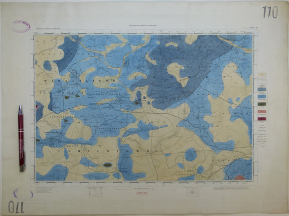
Ireland sheet 110, Edenderry, 1” scale. 1864. First edition. Base map not dated. Hand-coloured engraving,. geo.
Ireland sheet 13, Coleraine, 1” scale. 1883. First edition. Covers Garvagh, Ballymoney. Base map 1867. Hand-coloured. Geological Survey of Ireland.
Ireland sheet 19, Maghera, 1” scale. 1882. First edition. Covers Kilrea, Ahoghill, Portglenone. Base map 1868. Geological Survey of Ireland.
Ireland sheet 19, Maghera, 1” scale. 1882. First edition. Covers Kilrea, Ahoghill, Portglenone. Base map 1868. Hand-coloured. Geological Survey of Ireland.
Ireland sheet 20, Ballymena, 1” scale. 1883. First edition. Covers to northeast coast from Ballymena. coloured 1904. Geological Survey of Ireland.
Ireland sheet 21, Larne, 1” scale. 1869. First edition. Covers to Lough Larne, 85% sea. Base map undated. Hand-coloured. Geological Survey of Ireland.
Ireland sheet 21, Larne, 1” scale. 1883. Covers to Lough Larne, 85% sea. Base map undated. Hand-coloured. Geological Survey of Ireland.
Ireland sheet 26, Draperstown, 1” scale. 1882. First edition. Base map 1870. Hand-coloured engraving. Geological Survey of Ireland.
Ireland sheet 27, Cookstown, 1” scale. 1880. First edition. Base map 1867. Covers NW of Lough Neagh. Hand -coloured. Geological Survey of Ireland.
Ireland sheet 28, Antrim, 1” scale. 1874. First edition. Base map 1864. Covers NE of Lough Neagh. Hand -coloured. Geological Survey of Ireland.
Ireland sheet 29, Carrickfergus, 1” scale. 1883. Base map 1864. Covers entrance to Belfast Lough,. Geological Survey of Ireland.
Ireland sheet 35, Dungannon, 1” scale. 1875. First edition. Covers Stewartstown, SW Lough Neagh. Hand-coloured. Geological Survey of Ireland.


![Indian Ocean; [Map of the] Distribution of Oceanic Deposits, John Murray, 1889. In ‘On Marine Deposits in the Indian, Southern and Antarctic Oceans’](http://geolmaps.com/cdn/shop/products/IndianO.deposits1889J_1_{width}x.jpg?v=1617639637)
![Indian Ocean; [Map of the] Distribution of Oceanic Deposits, John Murray, 1889. In ‘On Marine Deposits in the Indian, Southern and Antarctic Oceans’](http://geolmaps.com/cdn/shop/products/IndianO.deposits1889J_1_580x.jpg?v=1617639637)