Free UK postage
Ireland sheet 59, Castleblayney, 1” scale. 1901. Covers CastleWellan, Slievebingian. Base map 1874. Hand-coloured. Geological Survey of Ireland.
Ireland sheet 60, Newry, 1” scale. 1901. Covers Keady, Slieve Gullion. Base map 1874. Coloured 1905. Hand-coloured. Geological Survey of Ireland.
Ireland sheet 60, Newry, 1” scale. 1901. Covers Keady, Slieve Gullion. Base map 1874. Hand-coloured. Geological Survey of Ireland.
Ireland sheet 64, Baleena, 1” scale. 1878. First edition. Includes Loughs Conn and Cullin. Base map 1874. Hand-coloured. Geological Survey of Ireland.
Ireland sheet 65, Swineford, 1” scale. 1878. First edition. Covers Charleston, Bellahy. Base map 1873. Hand-coloured. Geological Survey of Ireland.
Ireland sheet 66, Boyle, 1” scale. 1875. First edition. Covers Ballymott, Loughs Key and Arrow. Base map 1873. Hand-coloured. Geological Survey of Ireland.
Ireland sheet 68, Cavan, 1” scale. 1878. First edition. Covers Killashandra and Belturret. Base map 1875. Hand-coloured. Geological Survey of Ireland.
Ireland sheet 75, Castlebar, 1” scale. 1870. First edition. Base map not taped. Coloured 1904. Hand-coloured. Geological Survey of Ireland.
Ireland sheet 76, Ballaghaderren, 1” scale. 1874. First edition. Covers Kilkelly, Kiltamagh. Base map not dated. Hand-coloured. Geological Survey of Ireland.
Ireland sheet 77, Elphin, 1” scale. 1873. First edition. Covers Frenchpark. Base map not dated.. Hand-coloured. Geological Survey of Ireland.
Ireland sheet 78, Strokestown, 1” scale. 1872. First edition. Covers Lamestown, Mohill, Drumlish. Base map not dated. Hand-coloured. Geological Survey of Ireland.
Ireland sheet 82, Clogher, 1” scale. 1869. First edition. 75% sea. Base map not dated. Hand-coloured. Geological Survey of Ireland.
Ireland sheet 85, Ballinrobe, 1” scale. 1872. First edition. Covers Loughs Carra and Mask. Base map 1908. Hand-coloured. Geological Survey of Ireland.
Ireland sheet 86, Clare, 1” scale. 1868. First edition. Covers Ballinlough, Dunmore. Base map not dated. Hand-coloured. Geological Survey of Ireland.
Ireland sheet 88, Longford, 1” scale. 1867. First edition. Covers Lanesborough. Base map undated. Hand-coloured. Geological Survey of Ireland.
Ireland sheet 89, Edgeworthstown, 1” scale. 1867. First edition. Covers Loughs Darravaragh & Iron. Base map undated. Hand-coloured. Geological Survey of Ireland.
Ireland sheet 91, Navan, 1” scale. 1871. Includes River Boyne. Base map not dated. Hand-coloured engraving. Geological Survey of Ireland.
Ireland sheet 96, Tuam, 1” scale. 1867. First edition. Base map not dated. Coloured 1909. Hand-coloured. Geological Survey of Ireland.
Ireland sheet 97, Mount Bellew, 1” scale. 1867. First edition. Base map not dated. Coloured 1909. Hand-coloured. Geological Survey of Ireland.
Ireland sheet 98, Ballymahon, 1” scale. 1865. First edition. Lough Ree. Base map not dated. Coloured 1909. Hand-coloured. Geological Survey of Ireland.
Ireland sheet 99, Mullinagar, 1” scale. 1864. First edition. Covers Ballynacarrigy, Loughs Ennell and Owel. Hand-coloured. Geological Survey of Ireland.
Ireland sheet 106, Athenry, 1” scale. 1867, first edition. Oranmore Bay, Monivea. Base map not dated. Hand-coloured. Geological Survey of Ireland.
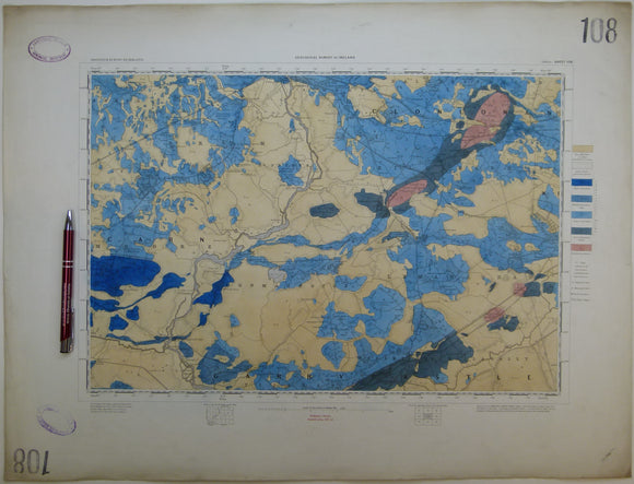
Ireland sheet 108, Athlone, 1” scale. 1865. First edition. Covers Shannonbridge, Moate, Ferrane. Hand-coloured. Geological Survey of Ireland.
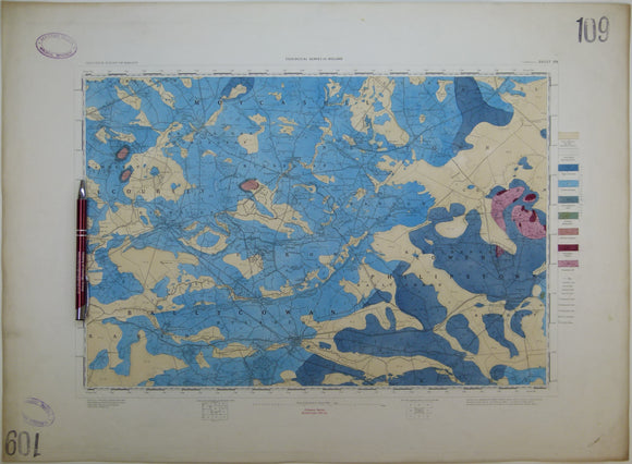
Ireland sheet 109, Tullamore, 1” scale. 1864. First edition. Base map not dated. Covers Clara, Phillipstown. Hand-coloured. Geological Survey of Ireland.