Free UK postage
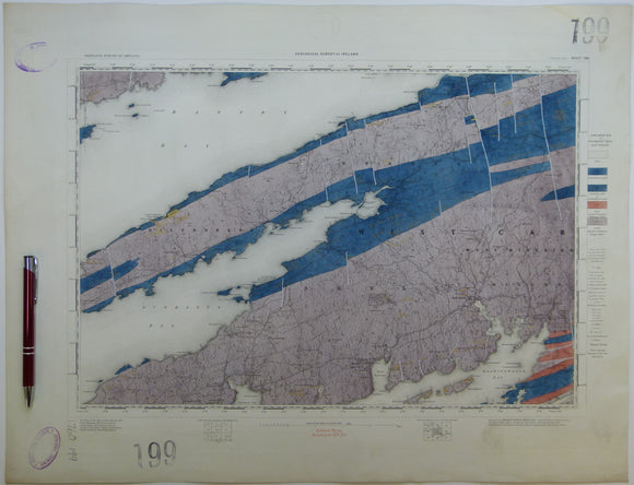
Ireland sheet 199, Bantry Bay, 1” scale. 1881. Includes Dunmanus Bay, Skull Harbour. Hand-coloured. Geological Survey of Ireland.
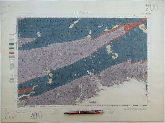
Ireland sheet 200, Skibbereen, 1” scale. 1881. Includes Glandore Bay, Ross Carbery. Hand-coloured. Geological Survey of Ireland.
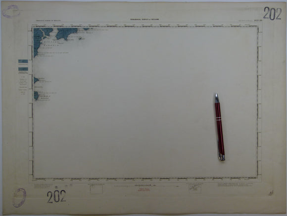
Ireland sheet 202, Old Head of Kinsale, 1” scale. 1857. First edition. Base map not dated. 95% sea. Hand-coloured. Geological Survey of Ireland.
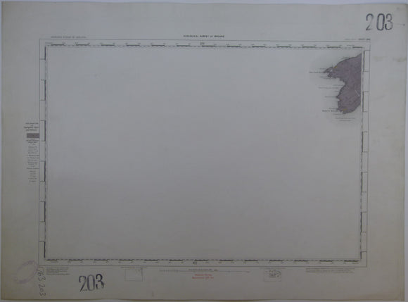
Ireland sheet 203, Mizen Head, 1” scale. 1881. Base map not dated. Coloured 1905. 95% sea. Hand-coloured. Geological Survey of Ireland.
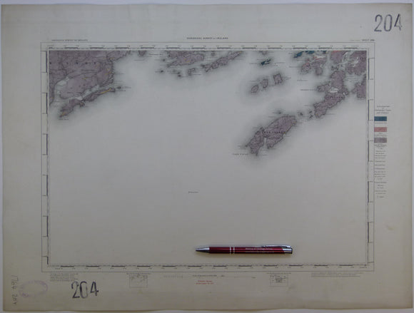
Ireland sheet 204, Cape Clear, 1” scale. 1881. Base map not dated. Coloured 1904. 80% sea. Hand-coloured. Geological Survey of Ireland.
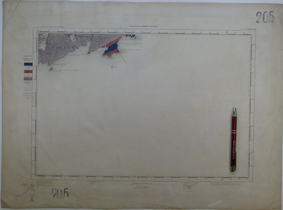
Ireland sheet 205, Toe Head, 1” scale. 1881. Base map not dated. Coloured 1907. 90% sea. Hand-coloured. Geological Survey of Ireland.
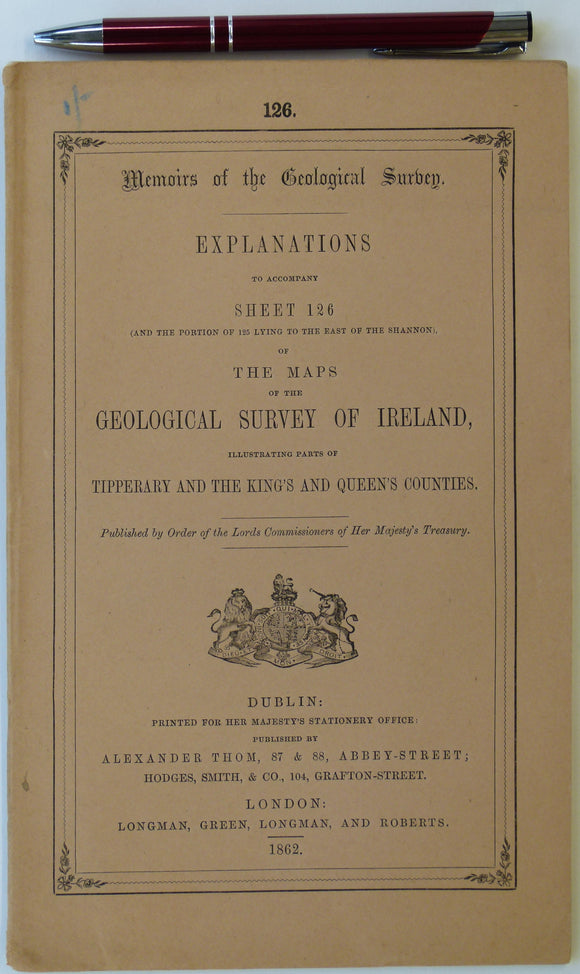
Ireland sheet memoir 126/125, (Roscrea/ Maryborough) 1862. Explanations - Sheet 126 (and the portion of 125 lying east of the Shannon). Near fine condition. Geological Survey of Ireland.
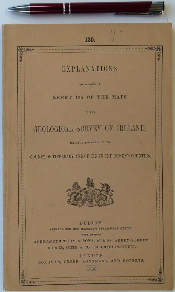
Ireland sheet memoir 135, (Ennis) 1860. Explanations - Sheet 135 - illustrating parts of Tipperary and King’s and Queens’s Counties. Near fine condition. Geological Survey of Ireland.
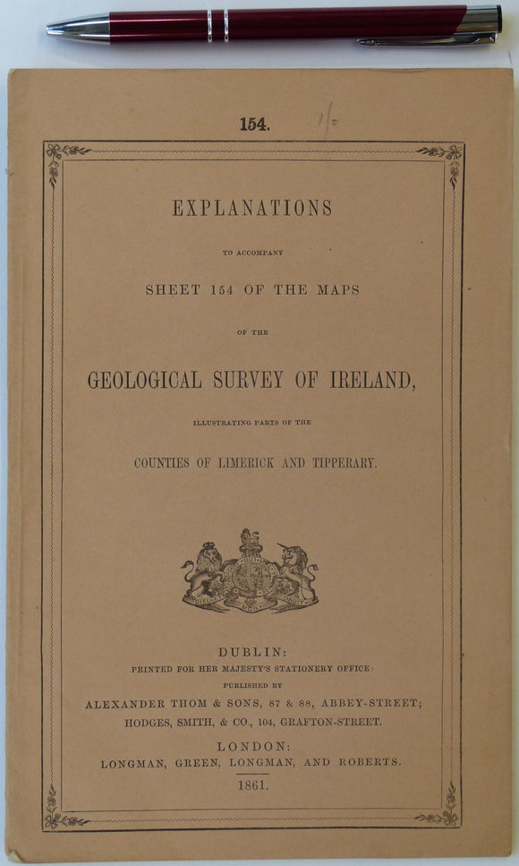
Ireland sheet memoir 154, (Tipperary) 1861. Explanations - Sheet 154 - illustrating parts of Tipperary and the King’s and Queens’s Counties. Near fine condition. Geological Survey of Ireland.
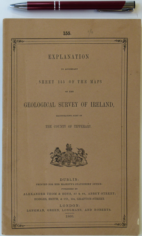
Ireland sheet memoir 155, (Cashel) 1860. Explanations - Sheet 155 - illustrating part of the County of Tipperary. Very good condition. Geological Survey of Ireland.
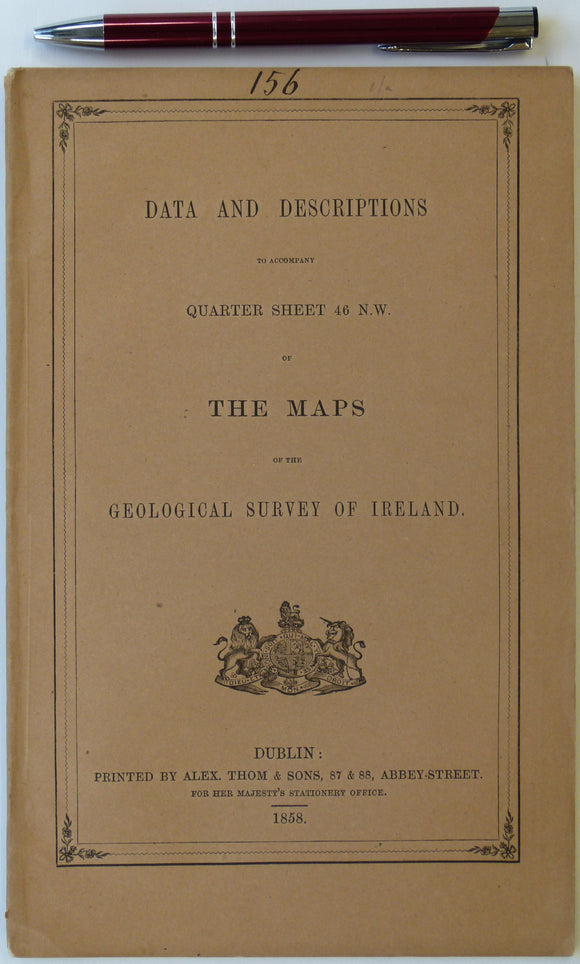
Ireland sheet memoir 156, (Callan) 1858. Descriptions - Sheet 46 NW - illustrating part of the Maps of the GSI. Very good condition. Geological Survey of Ireland.
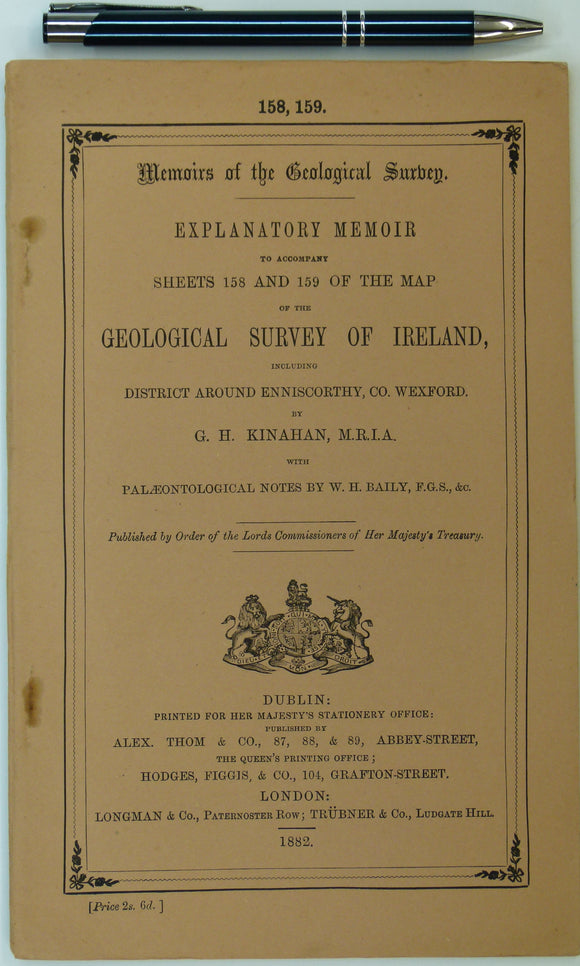
Ireland sheet memoir 158/159, (Enniscorthy/ Blackwater) 1882. Explanatory Memoir - Sheets 158/159 – of the District of Enniscorthy. Very good condition. Geological Survey of Ireland.
Jamieson, Thomas F., (1863). ‘Sketch-Map of a part of of Lochaber’. Fold-out colour printed map, 1:253,440. QJGS.
Johnston, James FW. (1850). Geological Map of New Brunswick [Canada]. Hand coloured lithographed map,. New Brunswick.
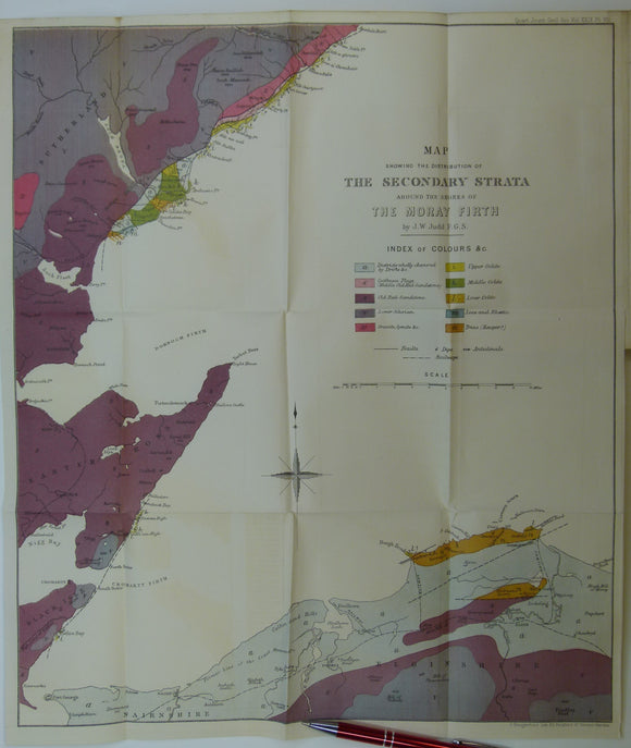
Judd, J.W. (1873). [Geological] Map Showing ... the Secondary Strata Around the Moray Firth [Scotland], fold-out colour printed map,. Geological Society of London.
Judd, John W., (1873), ‘Map Showing the Secondary Strata around the Shores of the Moray Firth. Fold-out colour printed geological map. QJGS.
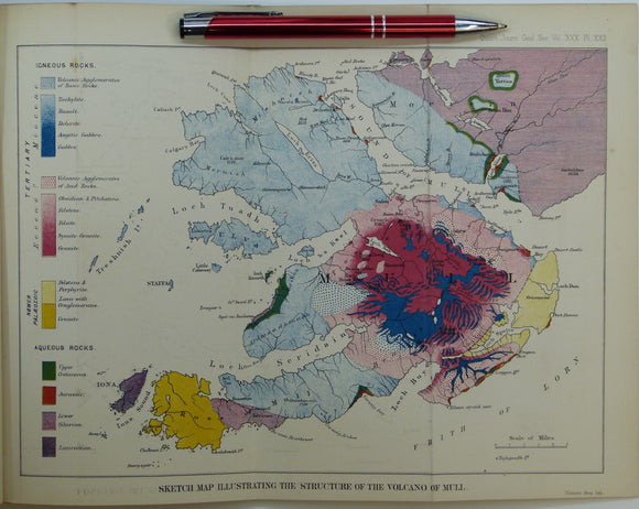
Judd, John W., (1874), ‘Sketch Map Illustrating the Structure of the Volcano of Mull. Fold-out colour printed geological map. QJGS.
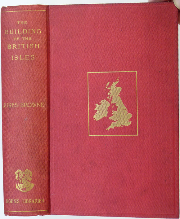
Jukes-Brown, A.J. (1892). The Building of the British Isles; a Study of Geographical Evolution. London:. George Bell and Sons.
Jukes-browne, AJ. 1878. The Post-Tertiary Deposits of Cambridgeshire. Deighton, Bell and Co..
Kitaibel, Paul and Tomtsanyi, Adam (1814). 1960 Facsimile. Report on the Earthquake of Mór in the year 1810. Budapest,. Akademiai Kiado.
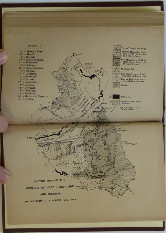
Lebour, GA. 1886. Outlines of the Geology of Northumberland and Durham. Lambert and Co..
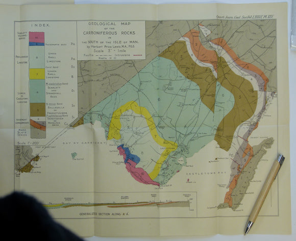
Lewis, H.P. (1930). ‘Geological Map of the Carboniferous Rocks in the South of the Isle of Man’, colour printed fold-out map, 1:21,120 scale,. Geological Society of London.
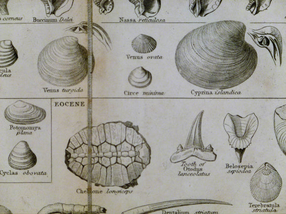
Lowry, Joseph Wilson. 1853. Tabular view of Characteristic British Fossils, Stratigraphically Arranged
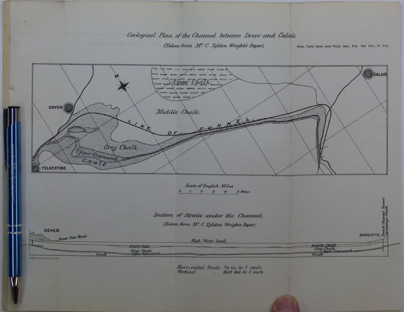
Lupton, Arnold (1883). ‘Notes on a visit to the Channel Tunnel’ extract from the Proc. of the Yorkshire Geological and Polytechnical Society. Yorkshire Geological Society.


![Johnston, James FW. (1850). Geological Map of New Brunswick [Canada]. Hand coloured lithographed map,](http://geolmaps.com/cdn/shop/products/JohnstonsNewBrunswick1850_{width}x.jpg?v=1617639428)
![Johnston, James FW. (1850). Geological Map of New Brunswick [Canada]. Hand coloured lithographed map,](http://geolmaps.com/cdn/shop/products/JohnstonsNewBrunswick1850_580x.jpg?v=1617639428)
![Judd, J.W. (1873). [Geological] Map Showing ... the Secondary Strata Around the Moray Firth [Scotland], fold-out colour printed map,](http://geolmaps.com/cdn/shop/products/Judd2ndryScotland_1_{width}x.jpg?v=1619627314)
![Judd, J.W. (1873). [Geological] Map Showing ... the Secondary Strata Around the Moray Firth [Scotland], fold-out colour printed map,](http://geolmaps.com/cdn/shop/products/Judd2ndryScotland_1_580x.jpg?v=1619627314)